
Nebraska Highway 2 (N-2) is a state highway in Nebraska consisting of two discontinuous segments. The western segment begins at the South Dakota border northwest of Crawford and ends southeast of Grand Island at an intersection with Interstate 80 (I-80). The eastern segment begins in Lincoln and ends at the Iowa border at Nebraska City. Previously, the two segments were connected via a route shared with U.S. Highway 34 (US 34) between Grand Island and Lincoln.

Nebraska Highway 11 (N-11) is a state highway in central and northern Nebraska, United States. Its southern terminus is at Interstate 80 (I-80) south of Wood River. Its northern terminus is at the South Dakota border north of Butte. The highway goes through the eastern portion of the Sand Hills.

Nebraska Highway 12 is a highway in northern and northeastern Nebraska. It has a western terminus at U.S. Highway 83 in Valentine and an eastern terminus at U.S. Highway 20 west of Jackson. The highway largely lies within 10 miles (16 km) of the South Dakota border its entire length. The highway has been designated the Outlaw Trail Scenic Byway.

Nebraska Highway 35 is a highway in the northeastern part of the U.S. state of Nebraska. It has a western terminus in Norfolk at U.S. Highway 275 and Nebraska Highway 24 and an eastern terminus at U.S. Highway 77 and U.S. Highway 75 at Dakota City. The highway serves as a connector between Norfolk and Sioux City, Iowa.
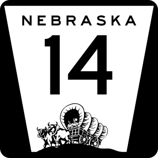
Nebraska Highway 14 (N-14) is a highway in the U.S. state of Nebraska. It has a southern terminus at the Kansas border, where it continues south as K-14, southwest of Superior and a northern terminus east of Niobrara at the South Dakota border.

Nebraska Highway 15 (N-15) is a highway in eastern Nebraska, United States. It has a southern terminus at the Kansas border south of Fairbury and a northern terminus northeast of Maskell at the South Dakota border.

Nebraska Highway 64 is a highway in Nebraska. There are two segments to the highway. The western segment lies in Butler County between U.S. Highway 81 and Nebraska Highway 15. The eastern segment goes through Saunders and Douglas counties between U.S. Highway 77 and U.S. Highway 75.

Nebraska Highway 25 is a highway in southwestern Nebraska. It runs for 87 miles (140 km). Its southern terminus is at the Kansas border south of Trenton. Its northern terminus is at U.S. Highway 30 in Sutherland.

Nebraska Highway 47 is a highway in Nebraska. It is a highway split into two segments. The southern segment runs for 12 miles (19 km) between Nebraska Highway 89 near Wilsonville and U.S. Highway 6 and U.S. Highway 34 in Cambridge. The northern segment runs for 40 miles (64 km) between Nebraska Highway 23 near Farnam and Nebraska Highway 40 south of Arnold.

Nebraska Highway 57 (N-57) is a highway in northeastern Nebraska, United States. It is divided into two segments, which combine for a length of 58 miles (93 km). The southern segment begins northeast of Leigh at N-91 and ends at U.S. Highway 275 north of Stanton. The northern segment begins south of Carroll at N-98 and ends north of Hartington at an intersection with N-12.

Nebraska Highway 59 is a highway in northeastern Nebraska. The highway is divided into two segments which combine for a length of 37.49 miles (60.33 km). The western segment of Nebraska Highway 59 has a western terminus at Nebraska Highway 14 west of Creighton and an eastern terminus at U.S. Highway 81 northeast of Magnet. The eastern segment of Highway 59 has its western terminus at Nebraska Highway 57 south of Coleridge and its eastern terminus at U.S. Highway 20 north of Laurel.
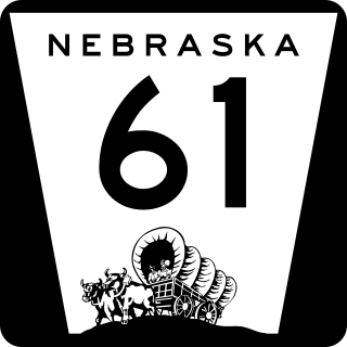
Nebraska Highway 61 is a highway in western Nebraska. It is a north–south highway with a length of 234.82 miles (377.91 km). The southern terminus of Nebraska Highway 61 is at the Kansas border south of Benkelman, where the highway continues south as K-161. The northern terminus is at the South Dakota border north of Merriman, where the highway continues north as South Dakota Highway 73.
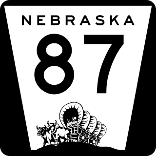
Nebraska Highway 87 is a highway in northwestern Nebraska. It has a southern terminus at Nebraska Highway 2 in Alliance. Its northern terminus is at the South Dakota border where it continues in northward as South Dakota Highway 407.

Nebraska Highway 78 is a highway in southern Nebraska. It has a southern terminus at the Kansas border where it continues from K-28. Its northern terminus is at an intersection with Nebraska Highway 4 west of Lawrence.

Nebraska Highway 137 is a highway in northern Nebraska. Its southern terminus is at U.S. Highway 20 in Newport. Its northern terminus is at the South Dakota border where it continues as South Dakota Highway 47.

Nebraska Highway 103 is a highway in southeastern Nebraska. It is a discontinuous highway with two segments. The southern segment begins at Nebraska Highway 8 south of Diller and ends at U.S. Highway 136 north of Diller. The northern segment begins at Nebraska Highway 4 east of Plymouth and ends at Interstate 80 north of Pleasant Dale.

Nebraska Highway 121 is a highway in northeastern Nebraska. It is a discontinuous highway with three segments:
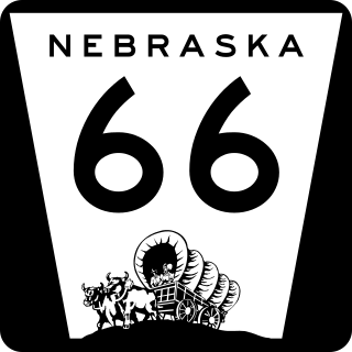
Nebraska Highway 66 is a highway in central and eastern Nebraska. It is a discontinuous highway with four segments heading in a west-to-east direction. The first segment begins at Nebraska Highway 14 south of Central City and ends at U.S. Highway 81 south of Stromsburg. The second segment begins at Nebraska Highway 15 west of Dwight and ends at Nebraska Highway 79 in Valparaiso. The third segment begins at U.S. Highway 77 south of Wahoo and ends at Main Street in Louisville. The fourth and final segment begins at the intersection with Walnut Street and Koop Avenue in Louisville, and ends at U.S. Highway 34 and U.S. Highway 75 west of Plattsmouth.
Nebraska Highway 71 is a highway in western Nebraska. Its southern terminus is at the Colorado border south of Kimball, as a continuation of Colorado State Highway 71. Its northern terminus is at the South Dakota border northwest of Crawford, where it continues as South Dakota Highway 71.

In the U.S. state of Nebraska, U.S. Highway 34 is a highway which goes between the Colorado border west of Haigler to the Iowa border east of Plattsmouth. Between Culbertson and Hastings, U.S. 34 overlaps U.S. Highway 6. From Grand Island to Lincoln, U.S. 34 has been replaced by Interstate 80 as a high-speed corridor and mostly serves local traffic. On this portion of the highway, U.S. 34 is continuously north of Interstate 80. Within Lincoln, U.S. 34 runs concurrent with all of Interstate 180, and much of it follows O Street.

