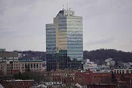
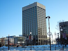
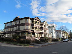
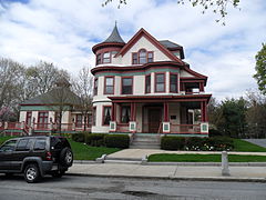
Neighborhoods in Worcester, Massachusetts

Last updated

The city of Worcester, Massachusetts consists of six regions: North Worcester, West Side, East Side, Central City, Downtown, and South Worcester. It can be further subdivided into smaller neighborhoods: [1]

Contents

North WorcesterWest SideEast SideCentralDowntownSouth Worcester
GreendaleForest GroveGreat Brook Valley Elm Park Lincoln Square [2] Webster Square
BurncoatSalisbury StreetBooth Apartments AreaCrown Hill/Piedmont Federal Square [2] South Worcester (proper)
Indian Hill TatnuckBrittan SquareMain Middle Worcester Common Cambridge Street [2]
Indian Lake EastWest TatnuckBiotech Park AreaBeacon BrightlyHadwen Park
North Lincoln StreetMill Street [2] Green Hill Park [3] University Park Main South [2]
The Summit [4] Newton SquareBell Hill Lincoln Estate Green Island
Beaver Brook AreaLaurel/ClaytonCanal District [5]
Cider MillShrewsbury Street Kelley Square/Water Street [2]
Columbus ParkLake Park College Hill
Worcester Regional Airport [2] Franklin/PlantationBroadmeadow Brook
Mass Ave HamiltonQuinsigamond Village
Montvale Union Hill
Hammond Heights Grafton Hill
Vernon Hill

Others:

Central

Downtown

East Side

North Worcester

South Worcester

West Side

References

  1. "Worcester Community Indicators". clarku.edu.
  2. 1 2 3 4 5 6 7 8 9 10 11 Geolocated on Google Maps, 2013-08-12
  3. 1 2 "Worcester, MA Neighborhood Map - Income, House Prices, Occupations - list of neighborgoods". city-data.com.
  4. "Sandrof, Ivan. "Your Worcester Street." Franklin Publishing, 1948. p.143" (PDF).
  5. "Plaid Friday: Shop Local". theswapaholics.com.