Photo gallery
Central


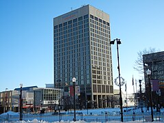
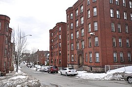 Wellington Street


Downtown
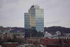
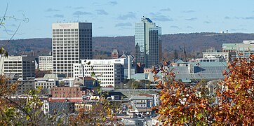 Downtown Skyline
 Federal Square
 Harrington Corner
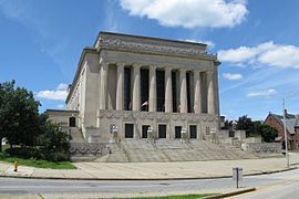 Lincoln Square
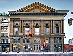
 Union Station/ Washington Square


East Side
 Houghton Street

 UMass Memorial Medical Center


North Worcester
 Greendale
 Worcester Country Club
 Odd Fellows' Home
 Dodge Park


South Worcester


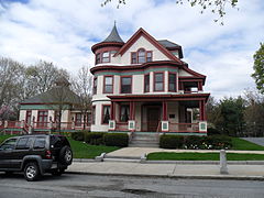
 St. Matthews (Southbridge Street)


West Side

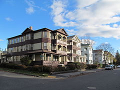
 Lenox Street
 Tatnuck School
 Westwood Hills


