
Devils Lake Regional Airport is a public use airport located two nautical miles (4 km) west of the central business district of Devils Lake, a city in Ramsey County, North Dakota, United States. It is owned by the Devils Lake Airport Authority and was formerly known as Devils Lake Municipal Airport. A new terminal recently opened for business at the airport. DVL is mostly used for general aviation but is also served by one commercial airline, with flights two times daily. Scheduled passenger service is subsidized by the Essential Air Service program.

Dickinson Theodore Roosevelt Regional Airport, formerly Dickinson Municipal Airport, is six miles south of Dickinson, in Stark County, North Dakota. It is owned by the Dickinson Airport Authority.

Watertown Regional Airport, formerly Watertown Municipal Airport, is two miles northwest of Watertown in Codington County, South Dakota, United States.

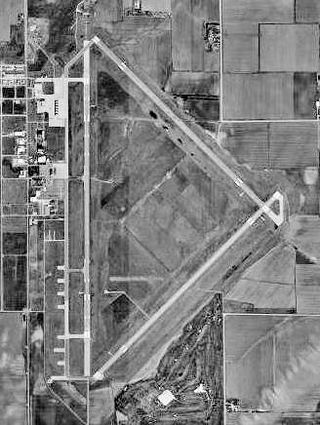
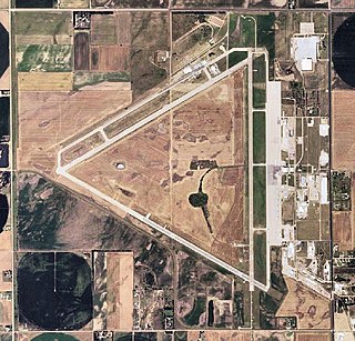
Manhattan Regional Airport in Riley County, Kansas, United States, is the second-busiest commercial airport in Kansas. Owned by the city of Manhattan, Kansas, the airport is located about five miles southwest of downtown Manhattan. American Airlines via its American Eagle affiliate serves the airport with five daily regional jet flights, with two nonstops to Chicago O'Hare International Airport (ORD) and three nonstops to Dallas/Fort Worth International Airport (DFW). The airport also accommodates general aviation and charter flights for the military and college sports teams, being conveniently located four miles east of Fort Riley and eight miles southwest of Kansas State University's athletic complex).
Worland Municipal Airport is in Washakie County, Wyoming, three miles south of Worland, which owns it. It was built in 1953. It has no scheduled airline service; Great Lakes Airlines pulled out on September 30, 2016.

Laramie Regional Airport is three miles west of Laramie, in Albany County, Wyoming. It is owned by the Laramie Regional Airport Board. Airline service is subsidized by the Essential Air Service program.
Central Nebraska Regional Airport is three miles northeast of Grand Island, in Hall County, Nebraska. It is owned by the Hall County Airport Authority. The airport sees two airlines, Allegiant Air which flies independently and American Eagle which is subsidized by the federal Essential Air Service program. In 2016 the airport had 68,879 passenger boardings (enplanements), a 6.6% increase from the 64,602 enplanements in 2015. The airport had 7,961 enplanements in calendar year 2008, 20,136 in 2009 and 37,101 in 2010.

Kearney Regional Airport is an airport five miles northeast of Kearney in Buffalo County, Nebraska. Denver Air Connection provides scheduled passenger service to Denver which is supported by the Essential Air Service.

North Platte Regional Airport is a public airport three miles east of North Platte, in Lincoln County, Nebraska. It is owned by the North Platte Airport Authority and sees one airline, subsidized by the Essential Air Service program.

Western Nebraska Regional Airport is three miles east of Scottsbluff, in Scotts Bluff County, Nebraska. The airport is owned by the Airport Authority of Scotts Bluff County and is named after William B. Heilig. Known as "Scottsbluff's Mr. Aviation," he was a World War II United States Army Air Force primary flight instructor, a civil flight instructor, and manager of the city's airport.
Brookings Regional Airport, formerly Brookings Municipal Airport, is in Brookings, in Brookings County, South Dakota. The National Plan of Integrated Airport Systems for 2011–2015 categorized it as a general aviation airport. The airport has had no airline service since September 2009 when the United States Department of Transportation ended the subsidy for its Essential Air Service.

Huron Regional Airport is in Huron, in Beadle County, South Dakota. The airport has charter passenger flights operated by fixed base operator (FBO), Fly Jet Center and Revv Aviation. Revv Aviation wants to bring all services to Huron including maintenance, avionics, flight school and charter.

San Luis Valley Regional Airport is two miles south of Alamosa, in Alamosa County, Colorado, United States. It sees one airline, subsidized by the Essential Air Service program. The airport reached 10,000 enplanements for the first time in its EAS participation with Boutique Air and is now classified as a non-hub primary airport.
Great Bend Municipal Airport is five miles west of Great Bend, in Barton County, Kansas. It is used for general aviation and formerly saw one airline, subsidized by the Essential Air Service program.

Southeast Iowa Regional Airport – also known as SIRA – is a public airport located two miles southwest of Burlington, in Des Moines County, Iowa. It is owned by the Southeast Iowa Regional Airport Authority which includes representatives from the city of Burlington, the city of West Burlington, and Des Moines County. The airport is used for general aviation and sees one airline, a service subsidized by the federal government's Essential Air Service program at a cost of $1,917,566.

Fort Dodge Regional Airport is a city owned public use airport located three nautical miles (6 km) north of the central business district of Fort Dodge, a city in Webster County, Iowa, United States. It is mostly used for general aviation, but is also served by one commercial airline United Airlines, a service that is subsidized by the federal government's Essential Air Service program at a cost of $3,892,174.
Thief River Falls Regional Airport is a public use airport located three nautical miles (6 km) south of the central business district of Thief River Falls, a city in Pennington County, Minnesota, United States. The airport is owned by the Thief River Falls Regional Airport Authority. It is mostly used for general aviation but is also served by one commercial airline subsidized by the Essential Air Service program.

Merle K. (Mudhole) Smith Airport is a state-owned public-use airport located 11 nautical miles southeast of the central business district of Cordova, a city in the Chugach Census Area of the U.S. state of Alaska which has no road access to the outside world. Airline service is subsidized by the Essential Air Service program.

Brownwood Regional Airport is six miles north of Brownwood, in Brown County, Texas. The National Plan of Integrated Airport Systems for 2011–2015 categorized it as a general aviation facility. The 21st Cavalry Brigade of the III Corps, U.S. Army uses the airport for training in Apache and Blackhawk helicopters.

Topeka Regional Airport, formerly known as Forbes Field, is a joint civil-military public airport owned by the Metropolitan Topeka Airport Authority in Shawnee County, Kansas, seven miles south of downtown Topeka, the capital city of Kansas. The National Plan of Integrated Airport Systems for 2011–2015 called it a general aviation airport.


