The Dark Peak is the higher and wilder part of the Peak District in England, mostly forming the northern section but also extending south into its eastern and western margins. It is mainly in Derbyshire but parts are in Staffordshire, Cheshire, Greater Manchester, West Yorkshire and South Yorkshire.

Tosson Hill is the highest hill in the Simonside Hills to the south of Rothbury in Northumberland, England. The summit lies about 2 kilometres (1.2 mi) west of Simonside, the best-known summit of the Simonside Hills.

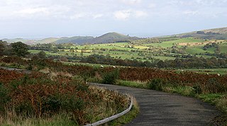
The Shropshire Hills is an upland area and one of the natural regions of England. They lie wholly within the county of Shropshire and encompass several distinctive and well-known landmarks, such as the Long Mynd, Wenlock Edge, The Wrekin and the Clees.

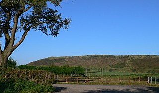
Ros Hill, also known as Ros Castle due to the 3,000-year-old Iron Age hill fort on its summit, is a hill in the county of Northumberland in northern England. It is the highest point of a low range of hills stretching from Alnwick to Berwick-upon-Tweed — the Chillingham Hills. Other tops of the Chillingham Hills include Titlington Pike, Dod Law and Doddington Northmoor. However, Ros Hill is significantly higher than these and towers over the surrounding landscape with easily enough relative height to make it a "Marilyn".

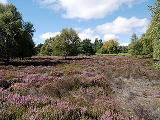
The Dorset Heaths form an important area of heathland within the Poole Basin in southern England. Much of the area is protected.

The Oswestry Uplands are a small natural region in the English county of Shropshire on the border with Wales.

The Thames Basin Heaths are a natural region in southern England in Berkshire, Hampshire and Surrey, a slightly mottled east-west belt of ecologically recognised and protected land.

The Marshwood and Powerstock Vales form a natural region in southwest England reaching to the Dorset coastline.

The Blackmoor Vale and Vale of Wardour area is a natural region in the counties of Dorset, Somerset and Wiltshire in southern England.

The Yeovil Scarplands are a natural region in southern England in the counties of Somerset and Dorset.

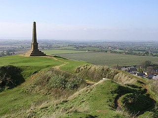
The Mid Somerset Hills are a major natural region in the county of Somerset in southwest west England, forming a series of low hills and ridges that divide up the Somerset Levels.

The North Northumberland Coastal Plain is a major natural region that lies on England's northeasternmost stretch of coastline on the North Sea. To the west lie the Cheviot Fringe, the Northumberland Sandstone Hills and Mid Northumberland; to the south it is continued by the South East Northumberland Coastal Plain.

The Mid Severn Sandstone Plateau is a rural landscape and one of the natural regions of central England, straddling the border between the counties of Shropshire and Staffordshire. It stretches from the western fringes of the Birmingham conurbation to Telford in the north and Kidderminster in the south. The major feature of the plateau is the valley of the River Severn, which cuts through it from north to south. It consists of Permian and Triassic-age New Red Sandstone getting older as one goes west until one reaches Silurian and Carboniferous-age siltstones and coals west of the river.

The Vale of Taunton and Quantock Fringes form a natural region in the southwest of England in the county of Somerset. Natural England have designated the Vale of Taunton and Quantock Fringes as National Character Area 146.

Bewick and Beanley Moors is the name given to a Site of Special Scientific Interest (SSSI) in north Northumberland, in the north-east of England. The moors are asserted to be of national importance by Natural England for the extent, quality and diversity of upland types including heaths, fens, wet grassland, flushes, mires and blanket bogs, together creating an extensive mosaic habitat supporting an exceptional community of amphibians. The moors are important, too, for their relict juniper woodland and scrub.
Cheviot Fringe is a geographical region and a Natural England designated National Character Area located in the county Northumberland in northern England. The region consists of the undulating lowlands between the Cheviot Hills and the Northumberland Sandstone Hills NCA. Three major rivers flow through the region, it is bounded on the north by the River Tweed and on the south by the River Coquet and the River Till flows through the middle.
Border Moors and Forests NCA is an upland plateau region in Northern England between the North East and North West regions, and touching the Anglo-Scottish border. The region, like much of the northern English uplands, is sparsely populated, with scattered farming and hardy shepherding in river valleys. Because of this sparse population, 39% of the region is part of the Northumberland National Park in the southeast and several military assets are placed here, both modern and ancient. The NCA is of lower elevation to the Cheviot Hills to the east. The A68 is the only main road going through the region. Conifer plantations, moorland, bogs, wet heaths make up the landscape of the region, which only allows for rough grazing of sheep in most areas outside of the valleys. Afforestation is a major environmental factor within the 20th and 21st centuries, as Fielder Forest is the largest planted forest in northern Europe and has destroyed many native mires and peat bogs of the region. As such in the 21st century preserving the moors has been a top priority in the region as its habitat is home to high biodiversity and the region also serves as an important storer of carbon in its moors.

Whitelee Moor is nature reserve of the Northumberland Wildlife Trust, in Northumberland, England, near Carter Bar. A large part of the moor is blanket bog.


