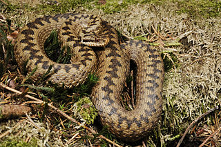
Risley Moss is an area of peat bog situated near Birchwood in Warrington, England. It is a country park, Site of Special Scientific Interest and a Local Nature Reserve. It covers an area of 210.5 acres (85.2 ha) and is one of the last remaining fragments of the raised bogs that once covered large areas of South Lancashire and North Cheshire.

Fenn's, Whixall and Bettisfield Mosses National Nature Reserve is a national nature reserve (NNR) which straddles the border between England and Wales, near Whixall and Ellesmere in Shropshire, England and Bettisfield in Wrexham County Borough, Wales. It comprises three peat bogs, Bettisfield Moss, Fenn's Moss and Whixall Moss. With Wem Moss and Cadney Moss, they are collectively a Site of Special Scientific Interest called The Fenn’s, Whixall, Bettisfield, Wem & Cadney Moss Complex and form Britain’s third-largest lowland raised bog, covering 2,388 acres (966 ha). The reserve is part of the Midland Meres and Mosses, an Important Plant Area which was declared a Wetland of International Importance under the Ramsar Convention in 1997. It is also a European Special Area of Conservation.

Delamere Forest or Delamere Forest Park is a large wood near the village of Delamere in Cheshire, England. The woodland, which is managed by the Forestry Commission, covers an area of 972 hectares making it the largest area of woodland in the county. It contains a mixture of deciduous and evergreen trees.
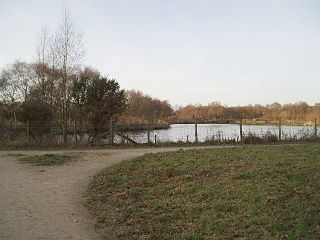
Lindow Common is a Site of Special Scientific Interest (SSSI) located on the western edge of the town of Wilmslow, Cheshire, in the northwest of England. It is also designated a Local Nature Reserve.

North Exmoor is a 12,005.3 hectare biological Site of Special Scientific Interest (SSSI) in Devon and Somerset, notified in 1954.
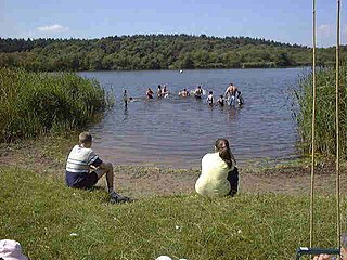
Hatchmere is a small mere and nature reserve in Delamere Forest, southeast of Frodsham, Cheshire, England. It is also the name of a hamlet near the village of Norley.

Lindow Moss, also known as Saltersley Common, is a raised mire peat bog on the edge of Wilmslow in Cheshire, England. It has been used as common land since the medieval period and is best known for the discovery of the preserved bog body of Lindow Man in 1984.
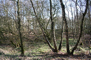
Sound Heath, also known as Sound Common, is an area of common land in Sound, near Nantwich in Cheshire, England, which includes heathland, grassland, scrub, woodland and wetland habitats. The majority of the area is designated a Site of Special Scientific Interest and a Local Nature Reserve.
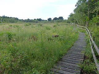
Wybunbury Moss is a National Nature Reserve (NNR) and Site of Special Scientific Interest (SSSI) near the village of Wybunbury in Cheshire, England. It is a raised lowland bog, and a rare British example of a schwingmoor and a 'subsidence mire'.

Quoisley Meres refers to two meres, Quoisley Big Mere and Quoisley Little Mere, near the village of Marbury, in Cheshire, England.

Astley and Bedford Mosses are areas of peat bog south of the Bridgewater Canal and north of the Liverpool and Manchester Railway. They are situated about 2 1⁄2 miles (4 km) south-east of Leigh, in Astley and Bedford, Greater Manchester, England. They are among the last remaining fragments of Chat Moss, the raised bog that once covered a large area, of around 10 2⁄3 square miles (28 km2), south Lancashire north of the River Mersey. Astley Moss was designated a Site of Special Scientific Interest in 1989. Astley and Bedford Mosses, along with Risley Moss and Holcroft Moss, are part of Manchester Mosses, a European Union designated Special Area of Conservation.

Abbotts Moss is a 12-hectare (30-acre) nature reserve near Delamere Forest, northwest of Winsford, Cheshire. It is managed by the Cheshire Wildlife Trust under lease from the Forestry Commission and lies within a larger Site of Special Scientific Interest (SSSI). The reserve is south of the A556 road near Sandiway and is divided in two by the Whitegate Way, a former railway line now used as a footpath and bridleway.
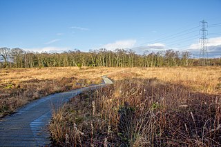
Danes Moss Nature Reserve is a 13.4-hectare (33-acre) nature reserve south of Macclesfield, Cheshire, England. A Site of Special Scientific Interest, it is managed by the Cheshire Wildlife Trust.

Red Moor is a nature reserve and Site of Special Scientific Interest (SSSI), noted for its biological characteristics, near Lanlivery in mid Cornwall, England, UK.

Brown Moss is a Site of Special Scientific Interest, Local Nature Reserve and important wetland area rich in wildlife close to Whitchurch, Shropshire. It is open to visitors and contains a number of self-guided walking trails. The name 'moss' derives from the local word for a peat bog.

Salta Moss is a raised blanket mire which is a Site of Special Scientific Interest located in the hamlet of Salta, in Cumbria, United Kingdom. It was determined to be of biological interest under the Wildlife and Countryside Act 1981. The site, measuring 45.6 hectares, was officially designated in August 1982.


