Okahola, Mississippi | |
|---|---|
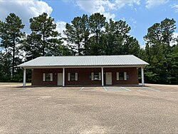 Okahola Community Center | |
 Okahola, Mississippi  Okahola, Mississippi | |
| Coordinates: 31°12′25″N89°23′11″W / 31.20694°N 89.38639°W | |
| Country | United States |
| State | Mississippi |
| County | Lamar |
| Elevation | 240 ft (70 m) |
| Time zone | UTC-6 (Central (CST)) |
| • Summer (DST) | UTC-5 (CDT) |
| Area code | 601 |
| GNIS feature ID | 692123 [1] |
Okahola is an unincorporated community in Lamar County, in the U.S. state of Mississippi.
