Orthel Township, Hancock County, Iowa

Last updated

Orthel Township
Map highlighting Orthel Township, Hancock County, Iowa.svg
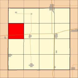
Location in Hancock County
Coordinates: 43°07′39″N93°54′49″W / 43.12750°N 93.91361°W / 43.12750; -93.91361
Country Flag of the United States (23px).png  United States
State Flag of Iowa.svg Iowa
County Hancock
Area
  Total
35.84 sq mi (92.82 km2)
  Land35.77 sq mi (92.64 km2)
  Water0.066 sq mi (0.17 km2)  0.18%
Elevation
1,250 ft (381 m)
Population
 (2000)
  Total
247
  Density7.0/sq mi (2.7/km2)
Time zone UTC-6 (CST)
  Summer (DST) UTC-5 (CDT)
ZIP codes
50423, 50483
GNIS feature ID 0468475

Orthel Township is one of sixteen townships in Hancock County, Iowa, USA. As of the 2000 census, its population was 247. [1]

Contents

History

Orthel Township was founded in 1882. [2]

Geography

According to the United States Census Bureau, Orthel Township covers an area of 35.84 square miles (92.82 square kilometers); of this, 35.77 square miles (92.64 square kilometers, 99.81 percent) is land and 0.07 square miles (0.17 square kilometers, 0.18 percent) is water.

Unincorporated towns

(This list is based on USGS data and may include former settlements.)

Adjacent townships

Cemeteries

The township contains Orthel Township Cemetery.

Major highways

Airports and landing strips

School districts

Political districts

References

  1. "U.S. Census website" . Retrieved June 5, 2009.
  2. History of Winnebago County and Hancock County, Iowa. Pioneer Publishing Company. 1917. pp.  269.