Palmares | |
|---|---|
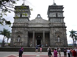 Palmares Church | |
 Flag  Seal | |
 Palmares canton | |
 Palmares Palmares canton location in Alajuela Province  Palmares Palmares canton location in Costa Rica | |
| Coordinates: 10°02′48″N84°26′14″W / 10.0465715°N 84.4372672°W | |
| Country | |
| Province | Alajuela |
| Creation | 30 July 1888 [1] |
| Head city | Palmares |
| Districts | |
| Government | |
| • Type | Municipality |
| • Body | Municipalidad de Palmares |
| Area | |
• Total | 38.06 km2 (14.70 sq mi) |
| Elevation | 1,028 m (3,373 ft) |
| Population (2022) | |
• Total | 41,805 |
| • Density | 1,100/km2 (2,800/sq mi) |
| Time zone | UTC−06:00 |
| Canton code | 207 |
| Website | www |
Palmares is a canton in the Alajuela province of Costa Rica. [2] [3]
