Pan de Azucar Island (Iloilo)

Last updated

Pan de Azucar
Cloudy Pan de Azucar.jpg
Pan de Azucar summit as seen on a cloudy day in 2009.
Philippines relief location map (square).svg
Red pog.svg
Pan de Azucar
Location within the Philippines
Geography
Coordinates 11°16′49″N123°10′14″E / 11.28028°N 123.17056°E / 11.28028; 123.17056
Archipelago Concepcion Islands
Adjacent to Visayan Sea
Area18.4 km2 (7.1 sq mi)
Highest elevation574 m (1883 ft)
Highest pointMt. Pan de Azucar
Administration
Region Western Visayas
Province Iloilo
Municipality Concepcion
Barangays
  • Macatunao
  • Talotu-an
  • Tambaliza
Largest settlementTambaliza(pop. 3,139)
Demographics
Population7,502 (2015)

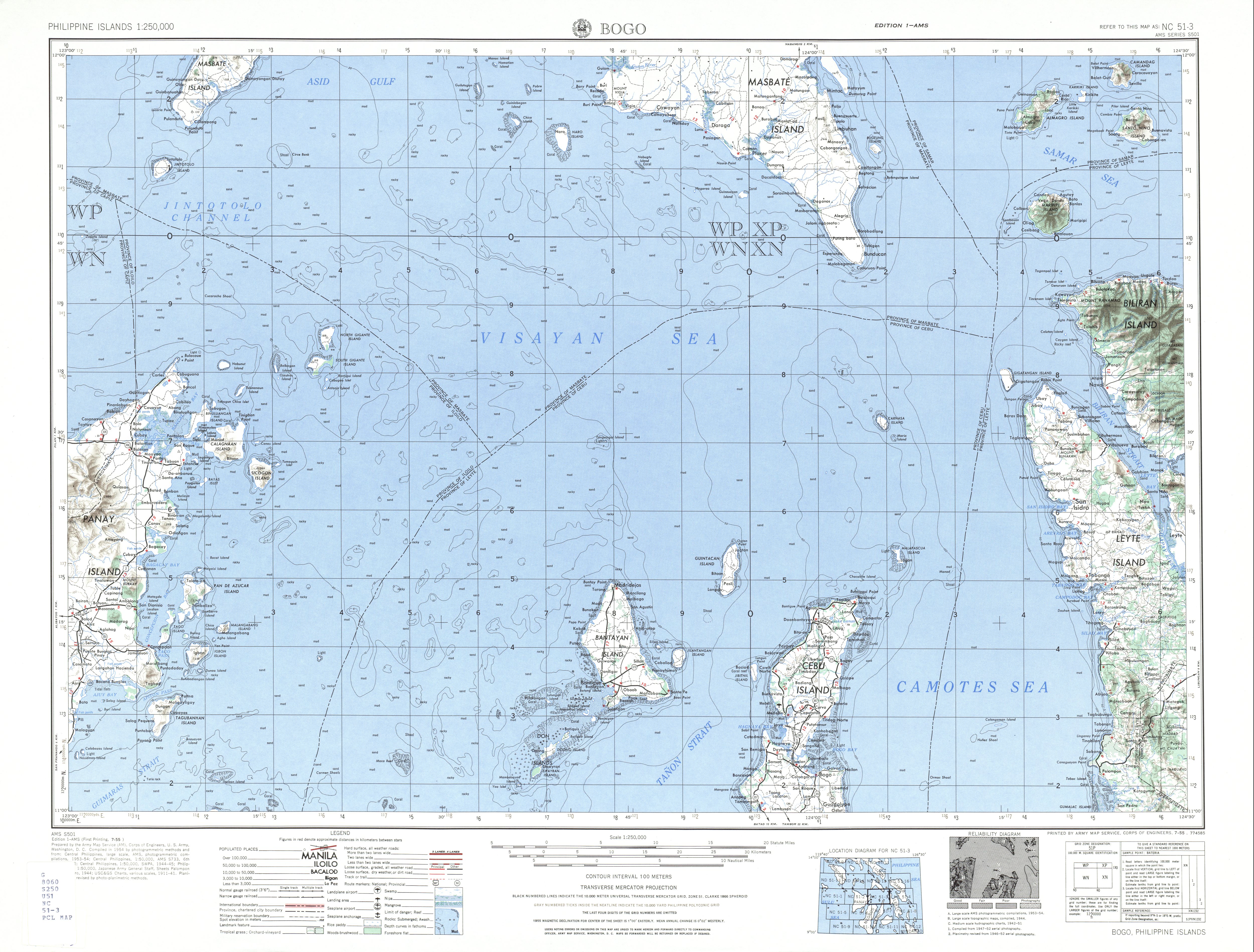
Pan de Azucar, variously known as Tampisaw Island or Tambaliza (which is also the name of one of the barangays on the island), is a populated island in the Visayan Sea in the Philippines. The island is known for MountPan de Azucar (Sugarloaf Mountain) a steep volcanic cone and a prominent landmark at the northern entrance of Guimaras Strait. [1]

Contents

Pan de Azucar is under the jurisdiction of the municipality of Concepcion, Iloilo on Panay Island, one of the largest and major islands of the Philippines. Pan de Azucar is the largest of 16 outlying islands of the town and makes up nearly 19 percent of Concepcion's total land area. According to the 2015 census, the island has a population of 7,502. [2]

The island possibly contains valuable mineral deposits and is being studied for mineral extraction, which could possibly destroy the natural beauty of the island and mountain. [3]

Etymology

Mount Pan de Azucar (Spanish for "Sugarloaf") is one of the mountains and hills worldwide named "Sugarloaf" because of its tall conical shape resembling an old sugarloaf of the 19th century, not because of its resemblance to Sugarloaf Mountain in Rio de Janeiro, Brazil as falsely reported on some local websites. [4]

Geography

Looking out at the Visayan Sea from Mt. Manaphag View from Mt. Manaphag.jpg
Looking out at the Visayan Sea from Mt. Manaphag
Mt. Manaphag as seen from below. Mt. Manaphag.jpg
Mt. Manaphag as seen from below.

The island is located 4.0 kilometres (2.5 mi) east of Panay Island and 13 kilometres (8 mi) northeast of Concepcion town proper. Nearby islands include Sombrero Island, Naburut Island, Magaisi Island, and Bocot Islet. [5]

At 574 metres (1,883 ft), [6] the steep-sided Mt. Pan de Azucar (also called Mt. Manaphag) is the most prominent feature and distinguishable landmark of the island. The lofty cone is one of the inactive volcanoes in the country. [1] The island is ringed by beaches, such as Lumpatan Beach in Bagotao, Brgy. Macatunao which are golden-yellow to white in color.

The Pan de Azucar Seascape is an area of 2,480.1478 square meters that includes both land and sea water areas around the island. Local governmental officials recognize the seascape as a protected sanctuary, although the Philippine government has yet to declare the seascape as an official protected area. [7]

Barangays

List of Barangays in Pan de Azucar island by population (2015 census).

History

Early history

In the 1600s, a battle took place near Pan de Azucar between Filipino and Spanish forces. Captain Juan Salagao, who was mayor of Sugbú at the time, defeated Spanish forces who had come up from Mindanao, intent on burning down Arevalo and Octóng. [8]

Mining

It has been speculated that Pan de Azucar contains possible mining deposits of gold, silver, copper, and zinc. [3] Mindoro Resources, Ltd. began initial drilling exploration in 2012 and received initial positive results. [3] [9] [10]

Typhoon Haiyan

Typhoon Haiyan passed directly over Pan de Azucar in 2013, damaging houses, food stores, and fishing boats. [11] The Armed Forces of the Philippines (AFP) delivered relief goods to the island soon after it passed. [12] The typhoon did not do much to disrupt mining operations on Pan de Azucar. [11]

Transport

Pan de Azucar is accessible from Concepcion by boat. There is one public boat trip per day; trips outside the official schedule are arranged with private boat owners. [13]

See also

Related Research Articles

<span class="mw-page-title-main">Carles, Iloilo</span> Municipality in Iloilo, Philippines

Carles, officially the Municipality of Carles, is a 2nd class municipality in the province of Iloilo, Philippines. According to the 2020 census, it has a population of 72,637 people.

<span class="mw-page-title-main">Concepcion, Iloilo</span> Municipality in Iloilo, Philippines

Concepcion, officially the Municipality of Concepcion, is a 3rd class municipality in the province of Iloilo, Philippines. According to the 2020 census, it has a population of 44,633 people.

<span class="mw-page-title-main">Estancia, Iloilo</span> Municipality in Iloilo, Philippines

Estancia, officially the Municipality of Estancia, is a 2nd class municipality in the province of Iloilo, Philippines. According to the 2020 census, it has a population of 53,200 people.

<span class="mw-page-title-main">San Rafael, Iloilo</span> Municipality in Iloilo, Philippines

San Rafael, officially the Municipality of San Rafael, is a 5th class municipality in the province of Iloilo, Philippines. According to the 2020 census, it has a population of 17,795 people.

<span class="mw-page-title-main">Igbon Island</span> Island and barangay in Iloilo, Philippines

Igbon Island is an island and barangay in northeastern Iloilo, Philippines. It is part of the municipality of Concepcion. According to the 2010 census, it has a population of 2,547. The island is moderately known in the Philippines for its scuba diving.

<span class="mw-page-title-main">Babuyan Island</span> Island within the Babuyan Islands, the Philippines

Babuyan Island is the highest and northernmost island in the Babuyan Islands in Luzon Strait north of Luzon Island in the Philippines and also directly south of Taiwan via Bashi Channel to Luzon Strait. The whole island makes up the barangay of Babuyan Claro, that constitute the municipality of Calayan in Cagayan province. The volcanic island has a population of 1,910 as of the 2020 census, up from 1,423 in 2010.

<span class="mw-page-title-main">Sicogon</span> Island in Northern Iloilo, Philippines

Sicogón is an island in northern Iloilo, which is part of the municipality of Carles, Iloilo, Philippines. It is named after cogon, a type of grass found in abundance on the island. According to the 2010 census, it has a population of 5,238.

Loguingot is a small island-barangay in northeastern Iloilo, Philippines. It is part of the municipality of Estancia. According to the 2010 census, it has a population of 796. Fishing is the main source of income for the island's residents.

<span class="mw-page-title-main">Concepcion Islands</span>

The Concepcion Islands are 17 variously inhabited and uninhabited islands in northeastern Iloilo, Philippines. The islands are politically subdivided into 11 island barangays and are part of the municipality of Concepcion. According to the 2010 census, the islands collectively have a population of 19,080, 48 percent the total population of Concepcion.

Tago Island is a mountain, which is also the eponymous whole island, in northeastern Iloilo, Philippines. It is part of the municipality of Concepcion.

Botlog Island is an island and barangay in northeastern Iloilo, Philippines. It is part of the municipality of Concepcion. According to the 2010 census, it has a population of 441.

<span class="mw-page-title-main">Malangabang</span> Island in northeastern Lloilo Philippines

Malangabang is an island and barangay in northeastern Iloilo, Philippines. It is part of the municipality of Concepcion. According to the 2010 census, it has a population of 2,925. Fishing is the main source of income for the island's residents.The Owner is Honorato Ciriaco.

<span class="mw-page-title-main">Bulubadiangan Island</span>

Bulubadiangan Island is a privately owned island in northeastern Iloilo, Philippines. It is part of barangay Polopińa, Concepcion. The Sandbar Island Beach Resort on Bulubadiangan is moderately known within the Philippines.

Danao-Danao Island is a small, low-lying island in northeastern Iloilo, Philippines. It is part of the municipality of Concepcion.

Baliguian Island is an inhabited island in northeastern Iloilo, Philippines. It is the westernmost of the Concepcion Islands and politically administered by the municipality of Concepcion. A virtually flat island, Baliguian features a lighthouse to aid in ship navigation.

Sombrero is a small, cone-shaped island in northeastern Iloilo, Philippines. It is part of the municipality of Concepcion.

Magalumbi is an island in northeastern Iloilo, Philippines. It is part of the municipality of Batad, although the official provincial government website lists it as an offshore island of Estancia. Magalumbi is part of barangay Tanao, which has a population of 1,903 according to the 2010 census.

Manlot is an island-barangay in northeastern Iloilo, Philippines. It is one of fourteen islands politically administered by the municipality of Carles.

Calagnaan is an island in northeastern Iloilo, Philippines. It is one of fourteen islands politically administered by the municipality of Carles. The population of the island is 5,017 as of 2020 census.

Binuluangan is an inhabited island-barangay in northeastern Iloilo, Philippines. It is one of fourteen islands politically administered by the municipality of Carles. In 2010 it had a population of 1,682. There is an elementary school on the island.

References

  1. 1 2 PHIVOLCS (July 30, 2008). "Inactive Volcanoes Part 6". Philippine Institute of Volcanology and Seismology. Retrieved on September 1, 2014.
  2. "Total Population by Province, City, Municipality and Barangay: as of May 1, 2010" (PDF). 2010 Census of Population and Housing. National Statistics Office. Archived from the original (PDF) on November 15, 2012. Retrieved February 20, 2013.
  3. 1 2 3 "Pan de Azucar Overview". Mindoro Resources Ltd.
  4. "Pan de Azucar Island". Explore Iloilo. Retrieved on September 1, 2014.
  5. "Sailing Directions (Enroute) Philippine Islands" (PDF). National Geospatial-Intelligence Agency. 2008. p. 92. Retrieved June 17, 2014.
  6. "Bogo (topography map)". University of Texas in Austin Library. Retrieved on September 1, 2014.
  7. "Tampisaw Festival" Archived December 24, 2013, at the Wayback Machine . Official Website of the Municipality of Concepcion, Iloilo.
  8. Blair, Emma (ed.). "Chapter XXX". The Philippine Islands, 1493–1898, Volume XXIV, 1630–34 (ebook). Project Guttenberg. Retrieved June 23, 2014.
  9. High-grade copper at Pan de Azucar
  10. Mindoro establishes Pan de Azucar target
  11. 1 2 Mindoro’s Agata project escapes wrath of typhoon Haiyan
  12. AFP chief: Ceasefire in Yolanda-hit areas up to political leaders
  13. "Mt. Manaphag, Pan de Azucar Island". Pinoy Mountaineer.