Campinas is a Brazilian municipality in São Paulo State, part of the country's Southeast Region. According to the 2020 estimate, the city's population is 1,139,047, making it the fourteenth most populous Brazilian city and the third most populous municipality in São Paulo state. The city's metropolitan area, Metropolitan Region of Campinas, contains twenty municipalities with a total population of 3,656,363 people.

Hortolândia is a Brazilian municipality in the interior of the state of São Paulo. It is part of the Metropolitan Region of Campinas and the Mesoregion and Microregion of Campinas. It is located northwest of the state capital, about 110 km away. It is part of the São Paulo macrometropolis, which exceeds 29 million inhabitants and makes up approximately 75 percent of the state's population. The metropolitan regions of Campinas and São Paulo form the first megalopolis in the southern hemisphere. It is bordered by Sumaré, to the north; Monte Mor, to the south and west; and Campinas, to the east.

Sônia Maria Campos Braga is a Brazilian actress. She is known in the English-speaking world for her Golden Globe Award–nominated performances in Kiss of the Spider Woman (1985) and Moon over Parador (1988). She also received a BAFTA Award nomination in 1981 for Dona Flor and Her Two Husbands. For the 1994 television film The Burning Season, she was nominated for an Emmy Award and a third Golden Globe Award. Her other television and film credits include The Cosby Show (1986), Sex and the City (2001), American Family (2002), Alias (2005), Aquarius (2016), Bacurau (2019), and Fatima (2020). In 2020, The New York Times ranked her #24 in its list of the 25 Greatest Actors of the 21st Century.

Santo Antônio de Posse is a municipality in the state of São Paulo in Brazil. It is part of the Metropolitan Region of Campinas. The population is 23,529 in an area of 154.13 km2. The elevation is 695 m. Nearby cities are Jaguariuna, Campinas, Americana, Holambra, Amparo, Serra Negra, Artur Nogueira, Mogi Mirim, Mogi Guacu, Cosmopolis, Espirito Santo do Pinhal.

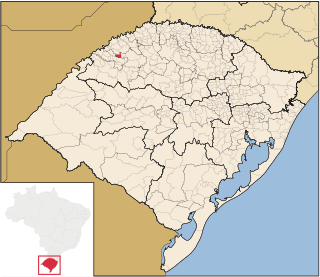
Campina das Missões is a Brazilian municipality of the state of the Rio Grande do Sul, located at latitude 27º59'20" S and longitude 54º50'22" W, being at an altitude of 163 meters. Its population estimate in 2020 was 5,398 inhabitants.

Ubiretama is a municipality of the western part of the state of Rio Grande do Sul, Brazil. The name comes from the Tupi language. It is located 499 km west of the state capital of Porto Alegre, northeast of Alegrete and east of Argentina. The population is 1,983 in an area of 126.69 km2.

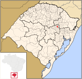
Anta Gorda is a municipality in the state of Rio Grande do Sul, Brazil. The surrounding municipalities are Guaporé, Doutor Ricardo, Encantado, Ilópolis, and Arvorezinha. It is about 210 km from Porto Alegre.

Arroio do Meio is a municipality in the state of Rio Grande do Sul, Brazil. It is 98 km from Porto Alegre. It is on the banks of the Taquari River.

Arvorezinha is a municipality in the state of Rio Grande do Sul, Brazil.

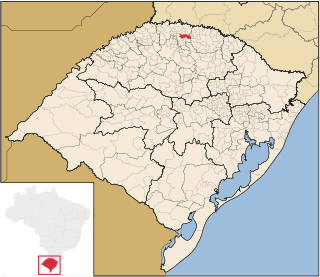
Campinas do Sul is a municipality in the state of Rio Grande do Sul, Brazil. As of 2020, the estimated population was 5,438.

Encantado is a municipality in the state of Rio Grande do Sul, Brazil. It is located 25km northeast of Teutônia. It is also the location of the Christ the Protector statue, which was completed in 2022.

Ilópolis is a municipality in the state of Rio Grande do Sul, Brazil.

Trindade do Sul is a municipality in the state of Rio Grande do Sul, Brazil.

Vespasiano Correa is a municipality in the state of Rio Grande do Sul, Brazil.

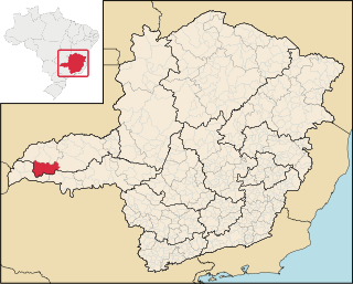
Campina Verde is a municipality in the north of the Brazilian state of Minas Gerais. As of 2020 the population was 19,752 in a total area of 3,663 km². It became a municipality in 1938.

São Francisco de Sales is a municipality in the west of the Brazilian state of Minas Gerais. As of 2020 the population was 6,274 in a total area of 1,129 km². It became a municipality in 1962.
Campina da Lagoa is a municipality in the state of Paraná in the Southern Region of Brazil.

Campina do Simão is a municipality in the state of Paraná in the Southern Region of Brazil. The municipality was first settled at the beginning on the 20th century, and is named for its first resident, José Simão, also known as Jeca Simão. Campina do Simão was originally part of the municipality of Guarapuava; it became a separate district of Guarapuava in 1964, and an independent municipality on January 1, 1997.

The Campina do Encantado State Park is a state park in the state of São Paulo, Brazil.


