Parish of Albert | |
|---|---|
Parish | |
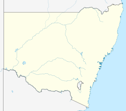 Location in New South Wales, Australia | |
| Coordinates: 30°06′34″S142°21′33″E / 30.10939°S 142.35908°E | |
| Country | |
| State | New South Wales |
| County | Yantara County |

Albert Parish, New South Wales is a remote civil parish of Yantara County near Milparinka, New South Wales.
The parish is on the Silver City Highway where the road meets Salt Lake, New South Wales. The parish has a Köppen climate classification of BWh (Hot desert). [2]
Gold was discovered there, [3] and for a while a village at Albert had a population of 900. but the gold soon ran out and life in the parish is very hard as it is arid and has no reliable fresh water. [4]