Pata, Galanta District

Last updated • 1 min readFrom Wikipedia, The Free Encyclopedia
Pata
Municipality
Pata, Kostol narodenia Panny Marie (novy).jpg
Church of Nativity of Virgin Mary
Trnava Region - physical map.png
Red pog.svg
Pata
Location of Pata in the Trnava Region
Slovakia relief location map.svg
Red pog.svg
Pata
Pata (Slovakia)
Coordinates: 48°17′N17°50′E / 48.283°N 17.833°E / 48.283; 17.833
CountrySlovakia
Region Trnava
District Galanta
First mentioned1156
Area
  Total17.54 [1]  km2 (6.77 [1]  sq mi)
Elevation
138 [2]  m (453 [2]  ft)
Population
 (2021)
  Total3,241 [3]
Time zone UTC+1 (CET)
  Summer (DST) UTC+2 (CEST)
Postal code
925 53 [2]
Area code +421 31 [2]
Car plate GA
Website www.obecpata.sk

Pata (Hungarian : Vágpatta) is a village and municipality in Galanta District of the Trnava Region of south-west Slovakia. The village lies in central part of Danubian Lowland (in part called Danubian Upland) and in east–west part of Nitra Upland. The area consists of a mild upland and a shallow valley Jác. The Jarčie watercourse flows through the village. Nearby villages are Šoporňa, Báb, Pusté Sady, Šintava a Hájske. Pata lies 9 kilometres far from city of Sereď. Village is situated close to R1 expressway, which connect Trnava and Nitra.

Contents

History

Old Church of Nativity of Virgin Mary, with Chapel of Mary in foreground Kostol Narodenia Panny Marie v Pate (stary).jpg
Old Church of Nativity of Virgin Mary, with Chapel of Mary in foreground

In historical records the village was first mentioned in 1156, but local settlement is known since prehistory age. In medieval times, Pata was prosperous village with church, Pata was settled by little nobles. After the Battle of Mohács in 1526he good times Pata becamse part of Šintava dominion. In 1820 the classicistic Church of Nativity of Virgin Mary was built. It is simple building built mostly by local citizens funds. Brincks were provided by landlord of Šintava. In revolution year 1849 a battle between Habsburg army and Hungarian army took place nearby Pata. Event is commemorated by obelisk called Oloment from Austria-Hungary era. Before the establishment of independent Czechoslovakia in 1918, it was part of Nyitra County within the Kingdom of Hungary. After 1918 the village become a part of Czechoslovakia. During World War II Pata was part of puppet Slovak state, after War again part of Czechoslovakia. Nowadays, Pata is middle sized village of Slovakia. In 21st century new, modern Church of Nativity of Virgin Mary was built. [4] [5]

Related Research Articles

<span class="mw-page-title-main">Abrahám</span> Municipality in Slovakia

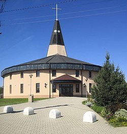
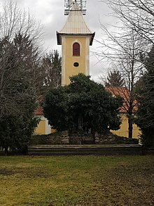
Abrahám is a village and municipality in Galanta District of the Trnava Region of south-west Slovakia.

Sľažany is a village and municipality in Zlaté Moravce District of the Nitra Region, in western-central Slovakia.

Čierna Voda is a village and municipality in Galanta District of the Trnava Region of southwest Slovakia.

<span class="mw-page-title-main">Čierny Brod</span> Village in Slovakia

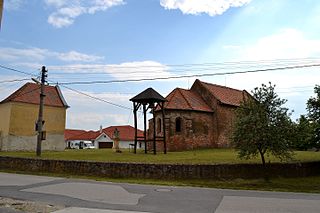
Čierny Brod is a village and municipality in Galanta District of the Trnava Region of south-west Slovakia.

<span class="mw-page-title-main">Dolné Saliby</span> Village in Slovakia

Dolné Saliby is a village and municipality in Galanta District of the Trnava Region of south-west Slovakia.

Dolný Chotár is a village and municipality in Galanta District of the Trnava Region of south-west Slovakia.

Vozokany is a village and municipality in Galanta District of the Trnava Region of south-west Slovakia.

Horné Saliby is a village and municipality in Galanta District of the Trnava Region of south-west Slovakia.

<span class="mw-page-title-main">Veľké Úľany</span> Village in Slovakia

Veľké Úľany is a large village and municipality in Galanta District of the Trnava Region of south-west Slovakia.

<span class="mw-page-title-main">Hoste, Galanta District</span> Municipality in Slovakia

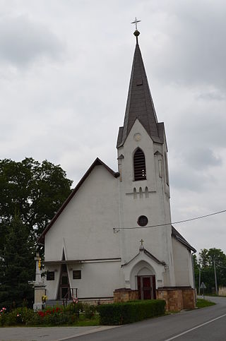
Hoste is a village and municipality in Galanta District of the Trnava Region of south-west Slovakia.

<span class="mw-page-title-main">Jánovce, Galanta District</span> Municipality in Slovakia

Jánovce is a village and municipality in Galanta District of the Trnava Region of south-west Slovakia. It has a population of about 449 people.

<span class="mw-page-title-main">Jelka</span> Village in Slovakia

Jelka is a large village and municipality in Galanta District of the Trnava Region of south-west Slovakia.

<span class="mw-page-title-main">Kajal (village)</span> Village in Slovakia

Kajal is a village and municipality in Galanta District of the Trnava Region of south-west Slovakia.

<span class="mw-page-title-main">Kráľov Brod</span> Village in Slovakia

Kráľov Brod is a village and municipality in Galanta District of the Trnava Region of south-west Slovakia.

Matúškovo is a village and municipality in Galanta District of the Trnava Region of south-west Slovakia.

Mostová is a village and municipality in Galanta District of the Trnava Region of south-west Slovakia.

<span class="mw-page-title-main">Pusté Sady</span> Municipality in Slovakia

Pusté Sady is a village and municipality in Galanta District of the Trnava Region of south-west Slovakia.

Topoľnica is a village and municipality in Galanta District of the Trnava Region of south-west Slovakia.

<span class="mw-page-title-main">Váhovce</span> Village in Slovakia

Váhovce is a village and municipality in Galanta District of the Trnava Region of south-west Slovakia.

<span class="mw-page-title-main">Šterusy</span> Municipality in Slovakia

Šterusy is a village and municipality in Piešťany District in the Trnava Region of western Slovakia.

References

  1. 1 2 "Hustota obyvateľstva - obce [om7014rr_ukaz: Rozloha (Štvorcový meter)]". www.statistics.sk (in Slovak). Statistical Office of the Slovak Republic. 2022-03-31. Retrieved 2022-03-31.
  2. 1 2 3 4 "Základná charakteristika". www.statistics.sk (in Slovak). Statistical Office of the Slovak Republic. 2015-04-17. Retrieved 2022-03-31.
  3. "Počet obyvateľov podľa pohlavia - obce (ročne)". www.statistics.sk (in Slovak). Statistical Office of the Slovak Republic. 2022-03-31. Retrieved 2022-03-31.
  4. Klobučník, Miroslav (2008). Z dejín obce Pata[From the History of Pata] (in Slovak). Obec Pata. ISBN   978-80-969826-5-3.
  5. "Charakteristika obce Pata" [Characteric of Pata]. www.obecpata.sk. Obec Pata. Feb 12, 2015. Retrieved Feb 1, 2020.

Commons-logo.svg Media related to Pata, Galanta District at Wikimedia Commons