The Arctic Archipelago, also known as the Canadian Arctic Archipelago, groups together all islands lying to the north of the Canadian continental mainland excluding Greenland.

Bon Air is a town in Talladega County, Alabama, United States. It incorporated in 1932. At the 2010 census the population was 116, up from 96 in 2000.

Hallwood is a town in Accomack County, Virginia, in the United States. As of the 2010 census, the town population was 206.

Onley is a town in Accomack County, Virginia, United States. The population was 516 at the 2010 census.

Caramanta is a town and municipality in the Colombian department of Antioquia. Part of the subregion of Southwestern Antioquia.
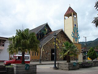
Gómez Plata is a town and municipality in the Colombian department of Antioquia. Part of the subregion of Northern Antioquia.
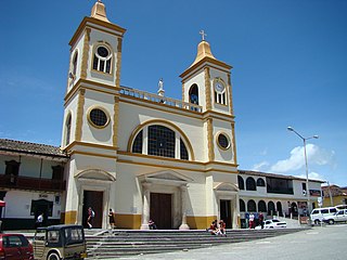
La Unión is a town and municipality in the Colombian department of Antioquia. It is part of the subregion of Eastern Antioquia.

Yarumal is a municipality in the Antioquia Department, Colombia.

El Carmen de Atrato is a municipality and town in the Chocó Department, Colombia.

Tauramena is a town and municipality in the Department of Casanare, Colombia.

Aguadas is a town and municipality in the Colombian Department of Caldas. It is bounded on the north by Abejorral, on the east by Sonsón, Salamina in the southeast, on the south by Pacora, on the west with Caramanta and Valparaiso, and the northwest with La Pintada. The municipality of Aguadas was founded in 1808 by José Narciso Estrada. It is located in the northern part of the department. In addition to the fame of Aguadeño Hats, which are very similar to the Panama Hat made of palm straw called iraca in Colombia. Aguadas offers visitors its historic center, declared a National Monument in 1982. It has a temperate climate thanks to the variety of climates ranging from warm to moor.

Marquetalia is a town and municipality in the Colombian Department of Caldas.

Villamaría is a town and municipality in the Colombian Department of Caldas.
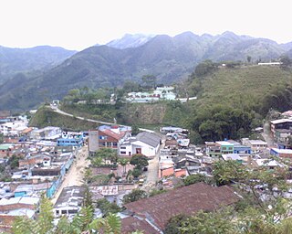
Quípama is a town and municipality in the Colombian Department of Boyacá, part of the subregion of the Western Boyacá Province.
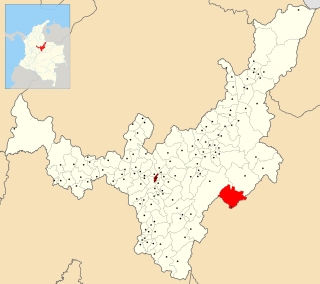
Pajarito is a town and municipality in the La Libertad Province, part of the Colombian department of Boyacá. The municipality, situated in the southeast of the department borders Labranzagrande and Aquitania of the department of Boyacá and Yopal, Recetor and Aguazul of the department of Casanare. The urban centre is located at a distance of 147 kilometres (91 mi) from the department capital Tunja at an altitude of 800 metres (2,600 ft) in a tight valley, not allowing much expansion of the urban area. The centre is experiencing periodic landslides.

Campohermoso is a town and municipality in the Colombian Department of Boyacá, part of the subregion of the Lengupá Province.

Arcabuco is a town and municipality in the Ricaurte Province, part of the Colombian Department of Boyacá. Arcabuco is situated on the Altiplano Cundiboyacense with the urban centre at an altitude of 2,739 metres (8,986 ft). The municipality borders Moniquirá and Gámbita in the north, Villa de Leyva and Chíquiza in the south, Cómbita in the east and Gachantivá and Villa de Leyva in the west. The department capital Tunja is 34 kilometres (21 mi) to the south.

Puerto Asís is a Colombian city in Putumayo Department. It is located on the west bank of the Putumayo River, downstream from the mouth of the Guamués River, 75 km by road south of (Cardinal) Mocoa. It is one of the department's largest cities, with a population of nearly 70,000.

Valparaíso is a town and municipality in Caquetá Department, Colombia.

Sibbald is a hamlet in southern Alberta, Canada within Special Area No. 3. It is located on Highway 9, approximately 10 kilometres (6.2 mi) west of the provincial border with Saskatchewan and 154 kilometres (96 mi) northeast of Medicine Hat.
