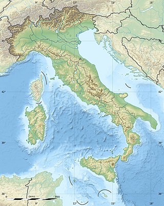
The geography of Italy includes the description of all the physical geographical elements of Italy. Italy, whose territory largely coincides with the homonymous geographical region, is located in southern Europe and comprises the long, boot-shaped Italian Peninsula crossed by the Apennines, the southern side of Alps, the large plain of the Po Valley and some islands including Sicily and Sardinia. Italy is part of the Northern Hemisphere. Two of the Pelagie Islands are located on the African continent.

The Trebbia is a river predominantly of Liguria and Emilia Romagna in northern Italy. It is one of the four main right-bank tributaries of the river Po, the other three being the Tanaro, the Secchia and the Panaro.

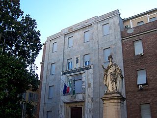
The province of Bologna was a province in the Emilia-Romagna region of Italy. Its provincial capital was the city of Bologna. The province of Bologna covered an area of 3,702.32 square kilometres (1,429.47 sq mi) and had a total population of 1,004,323 inhabitants as of 31 December 2014, giving it a population density of 271.27 inhabitants per square kilometre. It was replaced by the Metropolitan City of Bologna starting from January 2015.

The province of Pavia is a province in the Lombardy region of Italy. Its capital is Pavia. As of 2015, the province has a population of 548,722 inhabitants and an area of 2,968.64 square kilometres (1,146.20 sq mi); the town of Pavia has a population of 72,205.

The Panaro is an Italian river and the final right-hand tributary to the Po, discounting the Cavo Napoleonico canal. It runs right across Emilia-Romagna in a north-easterly direction: from its source close to the Apennine watershed, where Emilia-Romagna meets Tuscany, to its outlet where the Po marks the region's boundary with Veneto. Its Latin name was Scultenna.

Pragelato is a comune (municipality) in the Metropolitan City of Turin in the Italian region Piedmont, located about 60 kilometres (37 mi) west of Turin, in the upper Val Chisone. The name Pragelato, meaning "icy meadow", has been derived from the harsh climate and the fact that the ground is covered with ice for long periods. On both sides of the Chisone, extensive forests of pine and larch provide protection from the avalanches which are a common occurrence in the winter season: for this reason in the nineteenth century the people of Pragelato were only permitted to fell trees close to the mountain summits, and even then only with the permission of the communal administration.

Ovindoli is a village and comune of the province of L'Aquila in the Abruzzo region of central Italy. Close to Rome, it is a resort for both summer and winter sports, including hiking, biking, equestrian activities and downhill and cross-country skiing.

Entracque is a small town in the Valle Gesso of the Maritime Alps of north-west Italy, about 20 kilometres (12 mi) southwest of Cuneo and close to the French border. It is the principal settlement and capoluogo of the comune or municipality of the same name in the Piedmontese Province of Cuneo.

Giustenice is a comune (municipality) in the Province of Savona in the Italian region Liguria, located about 60 kilometres (37 mi) southwest of Genoa and about 25 kilometres (16 mi) southwest of Savona.

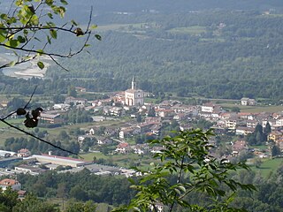
Limana is a comune (municipality) in the province of Belluno in the Italian region of Veneto, located about 70 kilometres north of Venice and about 5 kilometres southwest of Belluno. As of 31 December 2010, it had a population of 5 027 and an area of 39.2 square kilometres (15.1 sq mi).

Villa Minozzo is a comune (municipality) in the Province of Reggio Emilia in the Italian region Emilia-Romagna, located about 70 kilometres (43 mi) west of Bologna and about 40 kilometres (25 mi) southwest of Reggio Emilia.

Fanano is a comune (municipality) in the Province of Modena in the Italian region Emilia-Romagna, located about 50 kilometres (31 mi) southwest of Bologna and about 50 kilometres (31 mi) south of Modena.

Fiumalbo is a comune (municipality) in the Province of Modena in the Italian region Emilia-Romagna, located about 70 kilometres (43 mi) southwest of Bologna and about 60 kilometres (37 mi) southwest of Modena.
Riolunato is a comune (municipality) in the Province of Modena in the Italian region Emilia-Romagna, located about 60 kilometres (37 mi) southwest of Bologna and about 50 kilometres (31 mi) southwest of Modena. It is overlooked from the south by the Monte Cimone. Its fraction Le Polle, about 1,300 metres (4,300 ft) high, is one of the most important stations in the Monte Cimone Ski resort.

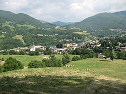
Sestola is a comune (municipality) in the province of Modena, in the Italian region of Emilia-Romagna, located about 60 kilometres (37 mi) southwest of Bologna and about 50 kilometres (31 mi) southwest of Modena. It is located near the Monte Cimone and other mountains of the northern Apennines separating Emilia and Tuscany.
Casola Valsenio is a comune (municipality) in the Province of Ravenna in the Italian region Emilia-Romagna, located about 60 kilometres (37 mi) southeast of Bologna and about 60 kilometres (37 mi) southwest of Ravenna.

Premilcuore is a comune (municipality) in the Province of Forlì-Cesena in the Italian region Emilia-Romagna, located about 70 kilometres (43 mi) southeast of Bologna and about 35 kilometres (22 mi) southwest of Forlì.

Patrica is a hill-top comune (municipality) in the Province of Frosinone in the Italian region Lazio.
Gallo Matese is a comune (municipality) in the Province of Caserta in the Italian region Campania, located in a valley near the Matese Apennines chain and the boundary with Molise, about 70 kilometres (43 mi) north of Naples and about 45 kilometres (28 mi) north of Caserta. Its territory is also home of an artificial lake with the same name. The territory is mostly mountainous.

Via Vandelli is a historical commercial and military road, designed and built in the 18th century by Domenico Vandelli under the reign of Francesco III d'Este between 1739 and 1752. The road connected the city of Modena with the city of Massa, in its original project of 1739. In the 1750s, a variant was added, connecting Sassuolo, a residence of the Duke of Ferrara and of Modena, with the existing road from Modena to Massa. After Roman roads, Via Vandelli was the first road in Europe to be designed and realized according to a project fulfilling the customer requirements and modern engineering criteria. It is also the first road to be provided with taverns, inns and staging posts.


