| Rivière Témiscamie (Air Roberval Ltée) Aerodrome | |||||||||||
|---|---|---|---|---|---|---|---|---|---|---|---|
| Summary | |||||||||||
| Airport type | Purivate | ||||||||||
| Operator | Air Roberval Ltée | ||||||||||
| Location | Temiscamie River | ||||||||||
| Time zone | EST (UTC−05:00) | ||||||||||
| • Summer (DST) | EDT (UTC−04:00) | ||||||||||
| Elevation AMSL | 1,300 ft / 396 m | ||||||||||
| Coordinates | 51°00′33″N072°59′02″W / 51.00917°N 72.98389°W Coordinates: 51°00′33″N072°59′02″W / 51.00917°N 72.98389°W | ||||||||||
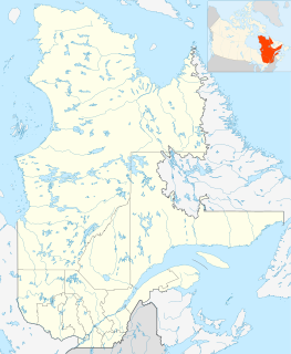
| Map | |||||||||||
| Runways | |||||||||||
| |||||||||||
Source: Water Aerodrome Supplement [1] | |||||||||||
Rivière Témiscamie (Air Roberval Ltée) Aerodrome( TC LID : CRT2) is located adjacent to the Temiscamie River, Quebec, Canada. The airport is operated in the winter, usually between 15 November to 15 April.

Transport Canada is the department within the government of Canada responsible for developing regulations, policies and services of transportation in Canada. It is part of the Transportation, Infrastructure and Communities (TIC) portfolio. The current Minister of Transport is Marc Garneau. Transport Canada is headquartered in Ottawa, Ontario.
A location identifier is a symbolic representation for the name and the location of an airport, navigation aid, or weather station, and is used for manned air traffic control facilities in air traffic control, telecommunications, computer programming, weather reports, and related services.

Quebec is one of the thirteen provinces and territories of Canada. It is bordered to the west by the province of Ontario and the bodies of water James Bay and Hudson Bay; to the north by Hudson Strait and Ungava Bay; to the east by the Gulf of Saint Lawrence and the province of Newfoundland and Labrador; and to the south by the province of New Brunswick and the U.S. states of Maine, New Hampshire, Vermont, and New York. It also shares maritime borders with Nunavut, Prince Edward Island, and Nova Scotia. Quebec is Canada's largest province by area and its second-largest administrative division; only the territory of Nunavut is larger. It is historically and politically considered to be part of Central Canada.

