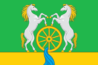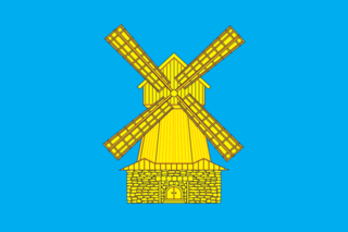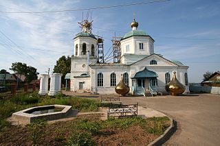
Nizhnekamsk is a city in Tatarstan, Russia, located to the south of the Kama River between the cities of Naberezhnye Chelny and Chistopol. Population: 241,479 (2021 Census); 234,044 (2010 Census); 225,399 (2002 Census); 190,793 (1989 Soviet census).

Menzelinsk is a town and the administrative center of Menzelinsky District in the Republic of Tatarstan, Russia, located on the Menzelya River near its confluence with the Kama, 292 kilometers (181 mi) from the republic's capital of Kazan. Population: 16,476 (2010 Census); 16,730 (2002 Census); 15,223 (1989 Soviet census); 15,800 (1973).

Bugulma is a town in the Republic of Tatarstan, Russia. Population: 89,204 (2010 Census); 93,014 (2002 Census); 89,589 (1989 Soviet census).

Nurlat is a town in the Republic of Tatarstan, Russia, located on the Kondurcha River, 268 kilometers (167 mi) southeast of Kazan. Population: 32,601 (2010 Census); 32,527 (2002 Census); 23,507 (1989 Soviet census).

Bavly is a town in the Tatarstan, Russia, located on the Bavly River, 369 kilometers (229 mi) southeast of Kazan. Population: 22,109 (2010 Census); 22,939 (2002 Census); 20,025 (1989 Soviet census).
Laishevo is a town and the administrative center of Laishevsky District in the Republic of Tatarstan, Russia, located on the right bank of the Kama River on the shore of the Kuybyshev Reservoir, 62 kilometers (39 mi) southeast of the republic's capital of Kazan. As of the 2010 Census, its population was 7,735.

Karabash is an urban locality in Bugulminsky District of the Republic of Tatarstan, Russia, located at the confluence of the Zay and Stepnoy Zay Rivers, 27 kilometers (17 mi) northwest of Bugulma, the administrative center of the district. As of the 2010 Census, its population was 5,005.

Vasilyevo is an urban locality in Zelenodolsky District of the Republic of Tatarstan, Russia, located on the left bank of the Volga River, 19 kilometers (12 mi) east of Zelenodolsk, the administrative center of the district. As of the 2010 Census, its population was 16,953.
Aksubayevo is an urban locality and the administrative center of Aksubayevsky District in the Republic of Tatarstan, Russia, located on the banks of the Malaya Sulcha River, 150 kilometers (93 mi) southeast of the republic's capital of Kazan. As of the 2010 Census, its population was 10,008.
Baltasi is an urban locality and the administrative center of Baltasinsky District in the Republic of Tatarstan, Russia, located on the Shoshma River, 106 kilometers (66 mi) from the republic's capital of Kazan. As of the 2010 Census, its population was 7,711.
Kamskoye Ustye is an urban locality and the administrative center of Kamsko-Ustyinsky District in the Republic of Tatarstan, Russia, located on the Kuybyshev Reservoir, near the confluence of the Volga and Kama Rivers, 117 kilometers (73 mi) from the republic's capital of Kazan. As of the 2010 Census, its population was 4,482.

Nizhnyaya Maktama is an urban locality in Almetyevsky District of the Republic of Tatarstan, Russia. As of the 2010 Census, its population was 9,924.
Aktyubinsky is an urban locality in Aznakayevsky District of the Republic of Tatarstan, Russia, located on the Leninogorsk–Aznakayevo auto route, 21 kilometers (13 mi) west of Aznakayevo. As of the 2010 Census, its population was 9,237.

Kamskiye Polyany is an urban locality in Nizhnekamsky District of the Republic of Tatarstan, Russia, located on the left bank of the Kama River, 37 kilometers (23 mi) southwest of Nizhnekamsk, the administrative center of the district. As of the 2010 Census, its population was 15,795.

Dzhalil is an urban locality in Sarmanovsky District of the Republic of Tatarstan, Russia, located near the source of the Menzelya River, 35 kilometers (22 mi) south of Sarmanovo, the administrative center of the district. As of the 2010 Census, its population was 13,937.
Nizhniye Vyazovye is an urban locality in Zelenodolsky District of the Republic of Tatarstan, Russia, located on the right bank of the Volga River, 6 kilometers (3.7 mi) west of Zelenodolsk, the administrative center of the district. As of the 2010 Census, its population was 8,048.
Muslyumovo is a rural locality and the administrative center of Muslyumovsky District of the Republic of Tatarstan, Russia. Population: 7,348 (2010 Census); 7,392 (2002 Census); 6,206 (1989 Soviet census).
Pestretsy is a rural locality and the administrative center of Pestrechinsky District of the Republic of Tatarstan, Russia. Population: 8,102 (2010 Census); 7,297 (2002 Census); 6,210 (1989 Soviet census).

Verkhny Uslon is a rural locality and the administrative center of Verkhneuslonsky District of the Republic of Tatarstan, Russia. Population: 4,499 (2010 Census); 4,257 (2002 Census); 3,891 (1989 Soviet census).
Zheleznodorozhnoy stantsii Vysokaya Gora is a rural locality and the administrative center of Vysokogorsky District of the Republic of Tatarstan, Russia. Population: 2,968 (2010 Census); 2,936 (2002 Census); 2,759 (1989 Soviet census).


