Sibaya | |
|---|---|
Hamlet | |
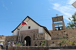 Church of Sibaya | |
 Map of the commune of Huara in Tarapacá Region 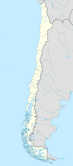 Sibaya Location in Chile | |
| Coordinates: 19°46′58″S69°10′22″W / 19.78278°S 69.17278°W | |
| Country | Chile |
| Region | Tarapacá |
| Province | Tamarugal |
| Commune | Huara |
| Government | |
| • Type | Municipal council |
| Elevation | 2,840 m (9,320 ft) |
| Population (2017 Census) [1] | |
• Total | 46 |
| Sex | |
| • Men | 24 |
| • Women | 22 |
| Time zone | UTC-4 (CLT [2] ) |
| • Summer (DST) | UTC-3 (CLST [3] ) |
| Area code | (+56) 5 |
Sibaya is a hamlet in the Altiplano of northern Chile, in Tamarugal Province. As of 2017 Sibaya had 46 inhabitants and 123 homes. [1] It has an irrigation system based on underground aqueducts tapping an aquifer. [4]
The hamlet was badly hit by the 2005 Tarapacá earthquake. The Church of Sibaya is listed as a National Monument within the category of Historical Monument since January 27, 2009. After its reconstruction the church was reopened on September 5, 2015. [5]