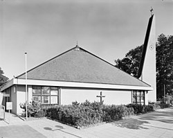
Zwolle is a city and municipality in the Northeastern Netherlands. It is the capital of the province of Overijssel. Zwolle is located on the border with Gelderland, which follows the river IJssel, not far from Flevoland to the northwest and Drenthe to the northeast. With a population of 130,592 as of 1 December 2021, it is the second-largest municipality in Overijssel after Enschede.

Schellinkhout is a small city located in the municipality of Drechterland, North Holland at the border of the IJsselmeer, about 3 km southeast of Hoorn in West-Frisia. It received city rights in 1402.
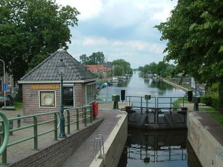
Zwartsluis is a small city in the Dutch province of Overijssel. It is located in the municipality of Zwartewaterland, at the mouth of the Zwarte Water river and the Meppelerdiep canal.

Geerdijk is a village in the Dutch province of Overijssel. It is located in the municipality of Twenterand. It became a village in 2009.

Vroomshoop is a town located at the center of the municipality Twenterand in the Dutch province of Overijssel and was founded around 1859. The earliest inhabitants lived from the peat that was found in the nearby area.
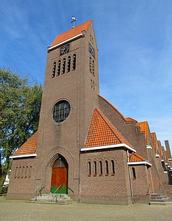
Barger-Compascuum is a village in the Dutch municipality of Emmen. It is in a peat-producing region of Drenthe. Veenpark, an open-air museum, is dedicated to the peat history of the region.
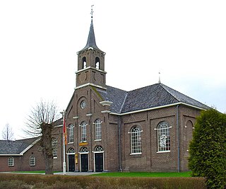
Gasselternijveen is a village in the Dutch province of Drenthe. It is a part of the municipality of Aa en Hunze, and lies about 20 km east of Assen.

2e Exloërmond is a village in the Dutch province of Drenthe. It is a part of the municipality of Borger-Odoorn, and lies about 15 km north of Emmen.

Nieuwleusen is a town in the Dutch province of Overijssel with 9300 inhabitants as of 2021. In the 2001 municipal reform, most of the former municipality of Nieuwleusen was incorporated into the municipality of Dalfsen. Some parts of the former municipality, including the Lichtmis area, was added to the neighbouring municipality of Zwolle.

Hazerswoude-Dorp is a village in the west of the Netherlands. It is located in the municipality of Alphen aan den Rijn, South Holland, about 7 km southwest of the town of Alphen aan den Rijn.

Erica is a town in the north-eastern Netherlands. It is located in Emmen, Drenthe. It started as a peat and buckwheat colony.

Nieuwe Pekela is a village in the Dutch province of Groningen. It is located in the municipality of Pekela, about 7 km southeast of Veendam. The village started as a peat colony, and was named after the river Pekel A. During the 19th century, the village was active in the maritime trade, and contains a museum dedicated to the maritime history. In December 1969, the first women strike of the Netherlands occurred in Nieuwe Pekela.

Oude Pekela is a town in the Dutch province of Groningen. It is located in the municipality of Pekela, about 5 km southwest of Winschoten. It was established to exploit the peat in the area. During the 19th century, it was known for its maritime transport. During the 20th century, Oude Pekela became the centre of the cardboard and potato starch industry.

Emmer-Compascuum is a village in the Netherlands and is part of the Emmen municipality in Drenthe.

Veenklooster is a small village in Noardeast-Fryslân municipality in the province of Friesland, the Netherlands, with a population of around 97 in January 2017. Before 2019, the village was part of the Kollumerland en Nieuwkruisland municipality.

Attractie- & Vakantiepark Slagharen is an Amusement park and holiday resort in Slagharen, located in the Dutch province Overijssel. The park opened in 1963 and was originally named Ponypark Slagharen. The logo contains the English name Slagharen Themepark & Resort.

Musselkanaal is a town in the Dutch province of Groningen. It is located in the municipality of Stadskanaal. It was established by the city of Groningen in the 1840s to exploit the peat. It used to be part of the municipality of Onstwedde, but was merged into Stadskanaal in 1968.

De Krim is a village in the municipality of Hardenberg part of the province of Overijssel, Netherlands. The village started as a peat excavation village.
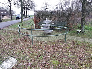
Lemelerveld is a village in the municipality of Dalfsen in the province of Overijssel, Netherlands. The village developed around a sugar beet factory.

Lutten is a village in the Dutch province of Overijssel. It is located in the municipality Hardenberg, about 13 kilometres (8.1 mi) south-west of Coevorden.
