Mina is an unincorporated community and census-designated place (CDP) in Mineral County in west-central Nevada, United States. It is located along U.S. Route 95 at an elevation of 4,560 feet (1,390 m). The population at the 2020 census was 127.
Carp, Nevada is an extinct town in Lincoln County, Nevada, United States located 35 miles (56 km) south of Caliente. It sits on the Meadow Valley Wash, which empties into Lake Mead.
Cobre is a ghost town in Elko County, Nevada, United States.
Blair, Nevada is a mining ghost town in Esmeralda County, Nevada.

Millers is a ghost town located in Esmeralda County, Nevada. Deserted today, Millers sprang up as a mining boomtown after the Tonopah boom began. A highway rest stop is located there, resulting in Millers still being listed on many travel maps.
Elgin is a ghost town located between Caliente and Carp, Nevada on the eastern banks of the Meadow Valley Wash off of Nevada State Route 317.

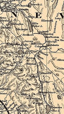
Candelaria is a ghost town in Mineral County, Nevada. Today the site of Candelaria is dominated by the Kinross Gold Candelaria Mine on Mt. Diablo.
Hazen is an unincorporated community in Churchill County, Nevada, United States. The community is approximately 12 miles (19 km) southeast of Fernley and 16 miles (26 km) northwest of Fallon, on U.S. Route 50 Alternate.
Fairlawn is a ghost town in Elko County, in the U.S. state of Nevada.
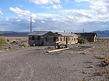
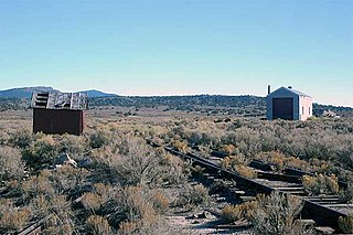
Thorne, Nevada is a rail junction and former town located in Mineral County, Nevada.
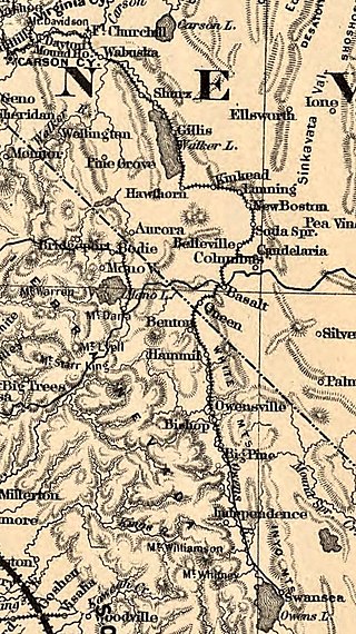
Basalt is a formerly populated place located in Mineral County, Nevada.
Rand is an extinct town in Mineral County, in the U.S. state of Nevada. The GNIS classifies Rand as a populated place with a "RR Locale" description. Rand was a station on the Carson and Colorado Railway.
Wahmonie was a mining town in Nevada. It was established as a gold mining camp in February 1928 and had a population of 500 by March. Peak population was reached that summer, with between 1000 and 1500 residents. Gold was not found in sufficient quantity to sustain the place, and the site was quickly abandoned. The post office was in operation from April 1928 until April 1929. Wahmonie was the last large mining rush in Nevada. The location was also known as Horn Silver Mine.
Eagleville is a former populated place in Mineral County, Nevada, that is now a ghost town.
Silver Zone is an extinct town in Elko County, in the U.S. state of Nevada. The GNIS classifies it as a populated place. The town was located at the mountain pass where the Feather River Route and Interstate 80 cross the Toano Range.
Tobar is an extinct town in Elko County, in the U.S. state of Nevada.
Hilltop is an extinct town in Lander County in the U.S. state of Nevada. The Geographic Names Information System classifies it as a populated place. It was named for its lofty elevation.
Omco is an extinct town in Mineral County, in the U.S. state of Nevada. The GNIS classifies it as a populated place.
Johnnie is a populated place in Nye County, in the U.S. state of Nevada about 15 miles north of Pahrump.
Lodi is an extinct town in Nye County, in the U.S. state of Nevada. The GNIS classifies it as a populated place.