
Interstate 29 (I-29) is an Interstate Highway in the Midwestern United States. I-29 runs from Kansas City, Missouri, at a junction with I-35 and I-70, to the Canada–US border near Pembina, North Dakota, where it connects with Manitoba Provincial Trunk Highway 75 (PTH 75), which continues on to Winnipeg. The road follows the course of three major rivers, all of which form the borders of US states. The southern portion of I-29 closely parallels the Missouri River from Kansas City northward to Sioux City, Iowa, where it crosses and then parallels the Big Sioux River. For the northern third of the highway, it closely follows the Red River of the North. The major cities that I-29 connects to includes Council Bluffs, Iowa; Sioux Falls, South Dakota; Fargo, North Dakota; and Grand Forks, North Dakota.

U.S. Route 12 or U.S. Highway 12 (US 12) is an east–west United States Numbered Highway, running from Aberdeen, Washington, to Detroit, Michigan, for almost 2,500 miles (4,000 km). The highway has mostly been superseded by Interstate 90 (I-90) and I-94, but, unlike most U.S. Highways that have been superseded by an Interstate, US 12 remains intact as an important link for local and regional destinations. The highway's western terminus in Aberdeen is at an intersection with US 101, while the highway's eastern terminus in Downtown Detroit is at the corner of Michigan and Cass avenues, near Campus Martius Park.

U.S. Route 75 is a north–south U.S. Highway that runs 1,239 miles (1,994 km) in the central United States. The highway's northern terminus is located at the Canadian border near Noyes, Minnesota, at a now-closed border crossing. From this point, the highway once continued farther north as Manitoba Highway 75. Its southern terminus is located at Interstate 30 (I-30) and I-45 in Dallas, Texas, where US 75 is known as North Central Expressway.

U.S. Highway 16 (US 16) is an east–west United States Numbered Highway between Rapid City, South Dakota, and Yellowstone National Park in Wyoming. The highway's eastern terminus is at a junction with Interstate 90 (I-90)/US 14, concurrent with I-190, in Rapid City. The western terminus is the east entrance to Yellowstone National Park, concurrent with US 14 and US 20. US 16 used to extend all the way to Michigan but has been truncated in favor of I-90 and I-96.

South Dakota Highway 44 (SD 44) is a state highway in southern South Dakota that runs from U.S. Route 385 (US 385) west of Rapid City to Interstate 29 (I-29) south of Sioux Falls. It is just more than 379 miles (610 km) long.
South Dakota Highway 47 is a state route that runs north to south across the central portion of South Dakota. It begins at an unnumbered highway at the North Dakota border north of Eureka, and ends at the Nebraska border, where it becomes Nebraska Highway 137. It is just under 241 miles (388 km) in length.

South Dakota Highway 21 (SD 21) is a 9.470-mile (15.240 km) state highway in south-central Hamlin Countym South Dakota, that connects Lake Norden and Hayti.
South Dakota Highway 53 is a state route that runs north to south across south central South Dakota. It consists of two separate segments:

South Dakota Highway 50 is a state route serving south central and southeast South Dakota. The current alignment begins at the junction of South Dakota Highway 34 at "Lee's Corner" east of Fort Thompson, and ends at the Iowa border near Richland, where it continues as Iowa Highway 3. It is about 212 miles (341 km) in length.
South Dakota Highway 75 is a state route located in northwest South Dakota. The southern terminus is at South Dakota Highway 20 west of Bison, and the route runs northerly to the North Dakota border, becoming North Dakota Highway 8. It is 28 miles in length.
South Dakota Highway 34 is a state route that runs parallel to Interstate 90 across the entire state of South Dakota. It begins at the Wyoming border west of Belle Fourche, as a continuation of Wyoming Highway 24 (WYO 24). The eastern terminus is at the Minnesota border east of Egan, or southwest of Airlie, Minnesota, where it continues as Minnesota State Highway 30 (MN 30). It is just over 419 miles (674 km) in length, making it the longest state highway in South Dakota.

South Dakota Highway 65 is a state route in north-central region of the U.S. state of South Dakota. It begins at U.S. Highway 212 east of Dupree, then runs northerly to the North Dakota border near McIntosh, where it continues as North Dakota Highway 31. It is about 68 miles (109 km) in length.
Interstate 29 (I-29) is a north–south Interstate Highway in the midwestern United States. In the state of South Dakota, I-29 traverses on the eastern side of the state from the Iowa border near Sioux City to the North Dakota border near New Effington. On its route, I-29 passes through western portions of Sioux Falls, the state's largest city. It travels 252.5 miles (406.4 km) in the state, the longest stretch of any of the four states through which it passes. I-229, the highway's lone auxiliary route in South Dakota, serves as a bypass around southern and eastern Sioux Falls.
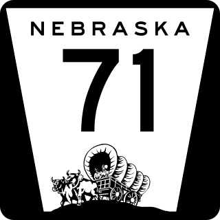
Nebraska Highway 71 is a highway in western Nebraska. Its southern terminus is at the Colorado border south of Kimball, as a continuation of Colorado State Highway 71. Its northern terminus is at the South Dakota border northwest of Crawford, where it continues as South Dakota Highway 71.
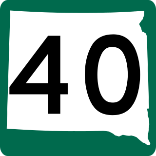
South Dakota Highway 40 (SD 40) is a state highway in southwestern part of the US state of South Dakota. The highway is just over 37 miles (60 km) long and runs from U.S. Route 16A (US 16A) in Keystone to Bureau of Indian Affairs Highway 41 (BIA 41) in Red Shirt. The highway runs near Mount Rushmore National Memorial in Keystone, and its eastern terminus is on the Pine Ridge Indian Reservation near the edge of Badlands National Park.

South Dakota Highway 407 (SD 407) is a 1.786-mile (2.874 km) state highway on the southern edge of Oglala Lakota County, South Dakota, United States. Along with Nebraska Highway 87 (N-87), SD 407 serves as a connector route between U.S. Route 20 (US 20) in Rushville, Nebraska and U.S. Route 18 (US 18) in Pine Ridge.
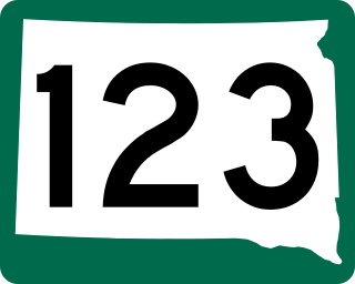
South Dakota Highway 123, 467th Avenue, is a 10.486-mile (16.876 km) north–south state highway in Grant and Roberts counties in South Dakota, United States, that connects U.S. Route 12 (US 12) with South Dakota Highway 15 (SD 15).
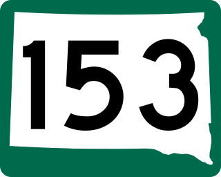
South Dakota Highway 153 (SD 153), also known as 435th Avenue, is a state highway in Yankton County, United States, that runs from SD 52 to SD 50.
U.S. Highway 16 (US 16) is a 69-mile-long (111 km) east–west United States Numbered Highway in the western part of the U.S. state of South Dakota. It travels between Yellowstone National Park in Wyoming and Rapid City. In South Dakota, the highway extends from the Wyoming state line near Newcastle, Wyoming, to Interstate 90 (I-90) in Rapid City.

South Dakota Highway 1806 is a state highway in the U.S. state of South Dakota. It exists in four distinct sections. Its longest section begins at SD 273 and runs along the Missouri River nearly its whole length, serving Pierre. SD 1806 along with SD 1804 are numbered from the years of the Lewis and Clark Expedition.

