Spectrum | |||||||||||
|---|---|---|---|---|---|---|---|---|---|---|---|
 | |||||||||||
| General information | |||||||||||
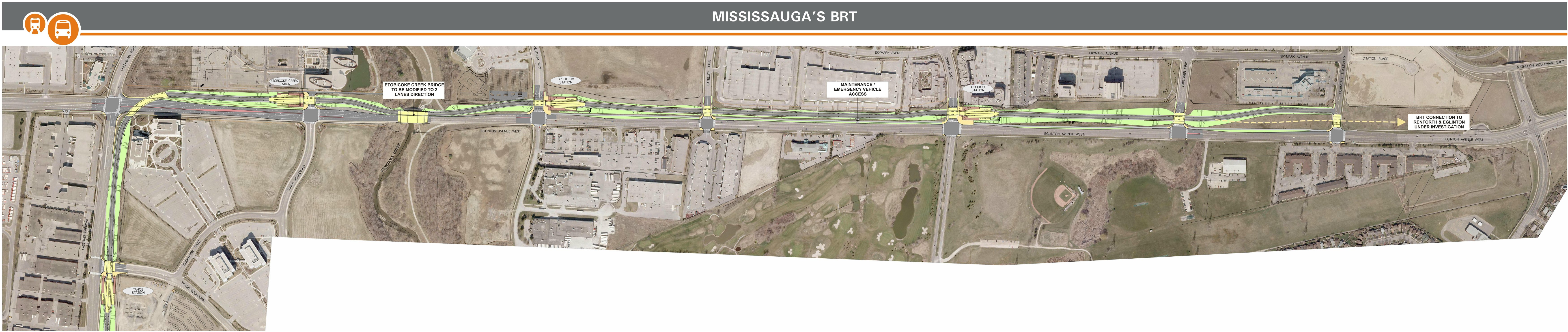
| Location | 5005 Spectrum Way Mississauga, Ontario Canada | ||||||||||
| Coordinates | 43°38′57″N79°36′23″W / 43.64917°N 79.60639°W | ||||||||||
| System | |||||||||||
| Owned by | City of Mississauga | ||||||||||
| Operated by | MiWay | ||||||||||
| Platforms | 2 | ||||||||||
| Connections |
| ||||||||||
| Construction | |||||||||||
| Accessible | yes | ||||||||||
| History | |||||||||||
| Opened | 1 May 2017 [2] | ||||||||||
| Services | |||||||||||
| |||||||||||
| |||||||||||

Spectrum is a bus rapid transit station on the Mississauga Transitway [1] in Mississauga, Ontario, Canada. It is located along the north side of Eglinton Avenue at Spectrum Way. [3]