Spring Rock Township, Clinton County, Iowa

Last updated

Spring Rock Township
Map highlighting Spring Rock Township, Clinton County, Iowa.svg
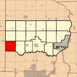
Location in Clinton County
Coordinates: 41°49′00″N090°51′06″W / 41.81667°N 90.85167°W / 41.81667; -90.85167
Country Flag of the United States (23px).png  United States
State Flag of Iowa.svg Iowa
County Clinton
Area
  Total
36.3 sq mi (93.9 km2)
  Land36.3 sq mi (93.9 km2)
  Water0 sq mi (0 km2)  0%
Elevation
682 ft (208 m)
Population
 (2000)
  Total
1,142
  Density32/sq mi (12.2/km2)
GNIS feature ID 0468744

Spring Rock Township is a township in Clinton County, Iowa, United States. As of the 2000 census, its population was 1,142.

Contents

History

Spring Rock Township was organized in 1844. The township takes its name from a huge rock at found at a spring in Scott County. [1]

Geography

Spring Rock Township covers an area of 36.25 square miles (93.9 km2) and contains one incorporated settlement, Wheatland, along with some unincorporated settlements such as Big Rock. According to the USGS, it contains four cemeteries: Homigrahusen, Pine Hill, Rose Hill and Saint Pauls.

The streams of Calamus Creek, Lizard Creek, Rock Creek and Yankee Run run through this township.

Notes

  1. Wolfe, Patrick B. (1911). Wolfe's History of Clinton County, Iowa, Volume 1. B. F. Bowen. pp.  329.

References