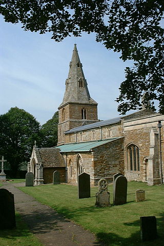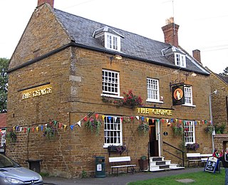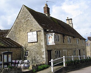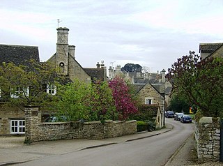
Wing is a village and civil parish in the East Midlands county of Rutland, England. The population was 315 at the 2001 census and 314 at that of 2011. It features a fine church and a labyrinth made of turf. Rutland Water reservoir is nearby.

Geddington is a village and civil parish on the A4300, previously A43, in North Northamptonshire between Kettering and Corby. The population of the civil parish at the 2011 census was 1,503, virtually unchanged from 1,504 at the 2001 census.

Kelmarsh is a village and civil parish in West Northamptonshire, England. The population of the civil parish at the 2011 Census was 208. The village is on the A508, close to its junction with the A14 about 5 miles (8 km) south of Market Harborough and 11 miles (18 km) north of Northampton.
Cottingham is a village and civil parish in North Northamptonshire, England. It can trace its history back to Roman times. Cotingeham is listed in the Domesday Book and is also mentioned in the Anglo-Saxon Chronicle. It is located north-west of the town of Corby and is administered as part of that town's borough. At the time of the 2001 census, Cottingham parish's population was 912, reducing slightly to 906 at the 2011 census.

Wilbarston is a village and civil parish in the English county of Northamptonshire in the Welland valley. It is administered as part of North Northamptonshire and is five miles east of the Leicestershire town of Market Harborough, via the A427. At the time of the 2001 census, the parish's population was 767 people, including Pipewell but reducing slightly to 753 at the 2011 Census. A Community Governance Review concluded in February 2015 resulted in the ward of Pipewell becoming part of the civil parish of Rushton.

Caldecott is a village in the county of Rutland in the East Midlands of England. The civil parish population was 256 at the 2001 census increasing to 269 at the 2011 census. It is located about four miles (6.4 km) south of Uppingham and about 4 miles north of Corby in Northamptonshire. The A6003 runs through the village; traffic flow on the bridge over the Eye Brook is controlled by traffic lights.

Seaton is a village and civil parish in the county of Rutland in the East Midlands of England. The population of the civil parish was 178 at the 2001 census, including Stoke Dry and Thorpe by Water, increasing to 250 at the 2011 census. Nearby is the large Seaton Viaduct, on the Oakham to Kettering railway line. It is three quarters of a mile long and took four years to build. It has 82 arches which are up to 72 feet (22 m) high. For many years the railway was only used for freight traffic, but a restricted passenger service from Oakham to London via Corby and Kettering was opened in 2010. Seaton railway station, on a different line, closed in 1966.

Weldon is a suburban village and civil parish on the eastern outskirts of Corby, Northamptonshire, England. It is two miles away from Corby.

Rockingham is a village and civil parish in North Northamptonshire, England. Close to the border of Leicestershire and Rutland, the village is largely connected to the town of Corby where various local organisations utilise the Rockingham name. Other nearby villages include Cottingham, Great Easton and Caldecott. During the 2001 census, the parish's population was 115 people, falling marginally to 113 at the 2011 Census.

Ashley is a village and civil parish in North Northamptonshire, England, about 4 miles (6.4 km) northeast of Market Harborough, Leicestershire and 5 miles (8.0 km) west of Corby. The population of the civil parish at the 2011 Census was 224, an increase from 217 at the 2001 Census. The village is near the River Welland, which forms the border with Leicestershire. The Roman road called Via Devana in the part from Ratae to Duroliponte ran just north of the village.

Bulwick is a village and civil parish in North Northamptonshire, England. According to the 2001 census it had a population of 152 people, including Blatherwycke and increasing to 171 at the 2011 census. It is about six miles north-east of Corby, and is just off the A43 road. The Willow Brook runs through the village.

Rodney Stoke is a small village and civil parish, located at grid reference ST486501, 5 miles north-west of Wells, in the English county of Somerset. The village is on the A371 between Draycott and Westbury-sub-Mendip.

East Stoke is a small village and civil parish in Nottinghamshire situated about half a mile to the east of the River Trent and lying about six miles southwest of Newark-upon-Trent. The population of the civil parish (including Thorpe as taken in the 2011 Census was 152, East Stoke alone reported 175 residents at the 2021 census. The A46 Fosse Way ran through East Stoke for many years: cutting the village in two with constant traffic: but since 2012 has been replaced by a new multi-lane A46 which now runs half a mile to the east. East Stoke is thought to have been the site of the Roman settlement of Ad Pontem; the "place of the bridge" – though this is disputed.

Harringworth is a village and civil parish in North Northamptonshire, England. It is located close to the border with Rutland, on the southern bank of the River Welland, and around 5.3 miles (8.5 km) north of Corby. At the 2001 census, the population of the parish was 247, falling to 241 at the 2011 Census.

Heveningham is a village and civil parish in the East Suffolk district of Suffolk in eastern England. Located four miles south-west of Halesworth, in 2005 it had a population of 120.

Stanion is a village and civil parish in North Northamptonshire, England. At the time of 2001 census, the parish's population was 873 people, increasing to 1,252 at the 2011 Census. There is a Church of England primary school. Gavron

Standon is a village and civil parish in Hertfordshire, England. The parish includes the adjoining village of Puckeridge and Old Hall Green. The Grade I listed parish church of St Mary has Anglo-Saxon origins with much Victorian restoration of 1864-65 by H. and G. Godwin. The chancel contains the ornate tombs of the Tudor courtier Sir Ralph Sadler and his son Thomas Sadleir. The house Standon Lordship was built by Ralph Sadler on his estate at Standon, which he acquired in 1544; Standon remained in the possession of the Sadler family until 1660.

Stoke Talmage is a village and civil parish 4+1⁄2 miles (7 km) south of Thame in Oxfordshire. The 2001 Census recorded the parish population as 49. Because the parish population is below 100, the 2011 Census combined its figures with the output area for the civil parishes of Adwell and Shirburn.

Easton on the Hill is a village and civil parish at the north eastern tip of North Northamptonshire, England. The village had a population at the 2011 census was 1,015. The village, sited on the A43 road, is compact in form, with the older part of the village located north of the High Street. The parish extends from the River Welland in the north to the western end of RAF Wittering. The village is also on the shortest boundary in England with it being in the northernmost part of Northamptonshire between Stamford and Collyweston.

Standon is a village and civil parish in the Stafford district, in the county of Staffordshire, England. Standon has a church called Church of All Saints and one school called All Saints C of E First School. In 2001 the population of the civil parish of Standon was 823, and in the 2011 census it had a population of 879.


