 Strynø kalv | |
| Geography | |
|---|---|
| Coordinates | 54°53′55″N10°34′40″E / 54.89861°N 10.57778°E |
| Archipelago | South Funen Archipelago |
| Area | 0.458 km2 (0.177 sq mi) |
| Administration | |
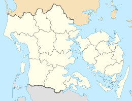
| Region | Region of Southern Denmark |
| Municipality | Langeland Municipality |
Strynø Kalv is a small privately owned Danish island in the South Funen Archipelago, lying west of Strynø. [1] Strynø Kalv covers an area of 0.458 km2. [2] A large part of the island remains in its natural state with farm animals grazing. [1] Strynø kalv has since 1970 been uninhabited, but in 1921 its population was 27. [3]
A part of the island is preserved for the conservation of the European fire-bellied toad. [4]