The Western Maryland Railway was an American Class I railroad (1852–1983) that operated in Maryland, West Virginia, and Pennsylvania. It was primarily a coal hauling and freight railroad, with a small passenger train operation.

The National Register of Historic Places in the United States is a register including buildings, sites, structures, districts, and objects. The Register automatically includes all National Historic Landmarks as well as all historic areas administered by the U.S. National Park Service. Since its introduction in 1966, more than 97,000 separate listings have been added to the register.
Tabler Station is an unincorporated community in Berkeley County, West Virginia, United States. It lies on County Route 32, south of Martinsburg off U.S. Route 11 near Eastern West Virginia Regional Airport.

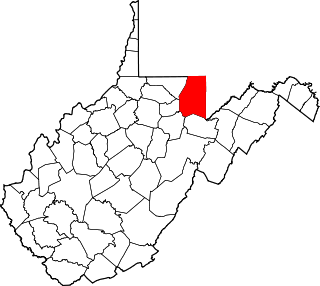
This is a list of the National Register of Historic Places listings in Preston County, West Virginia. This is intended to be a complete list of the properties and districts on the National Register of Historic Places in Preston County, West Virginia. The locations of National Register properties and districts for which the latitude and longitude coordinates are included below, may be seen in an online map.

This is a list of the National Register of Historic Places listings in Fayette County, West Virginia.

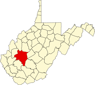
This is a list of the National Register of Historic Places listings in Kanawha County, West Virginia.

This is a list of the National Register of Historic Places listings in Cabell County, West Virginia.

This is a list of the National Register of Historic Places listings in Monroe County, West Virginia.

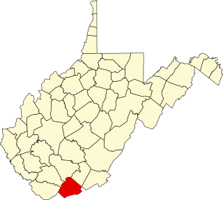
This is a list of the National Register of Historic Places listings in Mercer County, West Virginia.

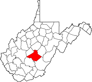
This is a list of the National Register of Historic Places listings in Nicholas County, West Virginia.

This is a list of the National Register of Historic Places listings in Mineral County, West Virginia.

This is a list of the National Register of Historic Places listings in Tyler County, West Virginia.

This is a list of the National Register of Historic Places listings in Barbour County, West Virginia.

This is a list of the National Register of Historic Places listings in Marshall County, West Virginia.

This is a list of the National Register of Historic Places listings in Jackson County, West Virginia.

Woodsdale–Edgewood Neighborhood Historic District is a national historic district located at Wheeling, Ohio County, West Virginia. The district encompasses 969 contributing buildings and is primarily residential, developed between 1888 and 1945. A number of popular architectural styles are represented including Shingle Style, Queen Anne, Tudor Revival, American Foursquare, Colonial Revival and Bungalow style. The district also includes four Lustron houses. Notable non-residential buildings include the Edgwood Christian Mission Alliance Church (1932), St. John's Episcopal Chapel (1913), Mount Carmel Monastery (1915) designed by Frederick F. Faris (1870-1927), and Good Shepherd Home (1912). Also located in the district are the separately listed H. C. Ogden House and William Miles Tiernan House.

This is a list of the National Register of Historic Places listings in Boone County, West Virginia.

This is a list of the National Register of Historic Places listings in Raleigh County, West Virginia.

This is a list of the National Register of Historic Places listings in Taylor County, West Virginia.
The West Broad Street Commercial Historic District is a national historic district located at Richmond, Virginia. The district encompasses 20 contributing buildings built between about 1900 and the late 1930s. Located in the district is the Forbes Motor Car Company (1919), Harper-Overland Company building (1921), Firestone Building (1929), Engine Company No. 10 Firehouse, and the Saunders Station Post Office (1937). The majority of the buildings are two-to-four stories in height and are composed of brick with stucco, stone and metal detailing. Located in the district is the separately listed The Coliseum-Duplex Envelope Company Building.


