
State Route 6 (SR 6) is a 72.1-mile-long (116.0 km) state highway that travels northwest-to-southeast in the U.S. state of Georgia. It is known as Jimmy Lee Smith Parkway, Jimmy Campbell Parkway, Nathan Dean Parkway, and Wendy Bagwell Parkway in Paulding County; C.H. James Parkway in Cobb County; Thornton Road in Douglas County; and Camp Creek Parkway and honorarily as Tuskegee Airmen Parkway in Fulton and Clayton counties. It begins at the Alabama state line, where it is concurrent with US 278. Here, US 278 enters Alabama, concurrent with the unsigned state highway SR 74. Its eastern terminus is at an interchange with Interstate 85 (I-85) west of the Hartsfield–Jackson Atlanta International Airport.
State Route 73 (SR 73), is a 11.219-mile-long (18.055 km) state highway in the U.S. state of Alabama. The southern terminus of the highway is at an intersection with SR 71 in Higdon north to the Tennessee state line, where it becomes Tennessee State Route 377 (SR 377). SR 73 travels through rural areas in eastern Jackson County, serving the community of Bryant.
State Route 63 is a primary state highway in the U.S. state of Virginia. The state highway runs 39.28 miles (63.22 km) from U.S. Route 58 Alternate in St. Paul north to SR 80 and SR 83 in Haysi.

State Route 8 is a 75.43-mile-long (121.39 km) north–south state highway in East and Middle Tennessee. It connects the cities of Chattanooga and McMinnville via Signal Mountain and Dunlap.

U.S. Route 441 stretches for 83.28 miles (134.03 km) through the mountains of East Tennessee, connecting Rocky Top with Knoxville, Sevierville, Gatlinburg, and the Great Smoky Mountains National Park, crossing into North Carolina at Newfound Gap. Near its northern terminus, US 441 crosses over Norris Dam and passes through Norris Dam State Park.

U.S. Route 431 in Tennessee totals an estimated 116 miles (187 km) through Lincoln, Marshall, Maury, Williamson, Davidson, and Robertson counties in Middle Tennessee.

U.S. Route 127 in Tennessee is a 129.5-mile-long (208.4 km) United States Numbered Highway from Chattanooga to the Kentucky state line at Static. The highways connects through Dunlap, Pikeville, Crossville, and Jamestown. Throughout its length, US 127 straddles the line between East Tennessee and Middle Tennessee.

U.S. Route 31A is a 76.94-mile-long (123.82 km) alternate route of U.S. Route 31 that exists between Nashville and Pulaski, Tennessee. It is located entirely in Middle Tennessee and except for the Lewisburg bypass, where it is concurrent with SR 106, it is entirely concurrent with unsigned State Route 11.
State Route 111 (SR 111) is a north–south highway in Middle and East Tennessee. The road begins in Soddy-Daisy and ends north of Byrdstown in the community of Static, at the Tennessee/Kentucky state line. The length is 116 mi (186.7 km).

State Route 284 is a 15.3-mile-long (24.6 km) state highway in Van Buren County in the central portion and in Bledsoe County in the eastern portion of the U.S. state of Tennessee. It serves as a connector for SR 111 and SR 30 to Fall Creek Falls State Resort Park.

State Route 156 is a spur route of Tennessee State Route 56 (SR 56) and a state highway in Franklin and Marion counties in the southern central and southeastern portions of Tennessee, United States. It traverses the southern Cumberland Plateau before descending into the Sequatchie Valley, where follows the shores of Nickajack Lake for its final few miles.
State Route 108 (SR 108) is a 61.7-mile-long (99.3 km) state highway in Southeastern and Eastern Middle Tennessee. It connects SR 28 in Whitwell to SR 55 Bus/SR 56/SR 380 in McMinnville.
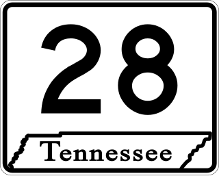
State Route 28 is a state highway in the state of Tennessee, traversing the state in a north–south axis from south of Jasper to the Kentucky state line at Static.

State Route 30 is an east-west state highway in the central and eastern portions of the U.S. state of Tennessee. It runs generally west to east, connecting McMinnville in Warren County with Parksville along the Ocoee River in Polk County. It crosses several major geographic features in Tennessee, including the Cumberland Plateau, the Sequatchie Valley, the Tennessee River, and parts of the Cherokee National Forest.
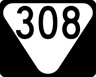
State Route 308 is a secondary state route located in northern Bradley County, Tennessee that serves the city of Charleston. The route is 7.5 miles (12.1 km) long and is located entirely in Bradley County.
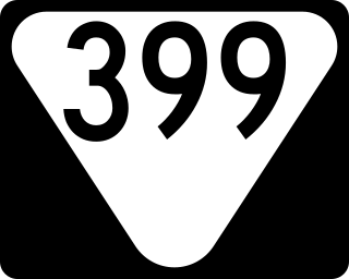
State Route 399 is 10.6-mile-long (17.1 km) east–west state highway in the Cumberland Plateau region of Tennessee. It serves to connect the towns of Gruetli-Laager and Palmer to Cagle and the Savage Gulf State Natural Area portion of South Cumberland State Park.

State Route 443 is a 12.2-mile-long (19.6 km) east–west state highway in East Tennessee, connecting SR 30 with the communities of New Harmony and Ogden along with other rural areas, which is primarily farmland.
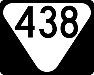
State Route 438 is a 41.0 miles (66.0 km) long east-west state highway in extreme western Middle Tennessee.

State Route 288 is a 17.8-mile-long (28.6 km) north-south state highway in Warren and DeKalb counties of Middle Tennessee.

