
Greene County is a county located on the eastern border of the U.S. state of Tennessee. As of the 2020 census, the population was 70,152. Its county seat is Greeneville. Greene County comprises the Greeneville, TN Micropolitan Statistical Area.

U.S. Route 321 (US 321) is a spur of U.S. Route 21. It runs for 516.9 miles (831.9 km) from Hardeeville, South Carolina to Lenoir City, Tennessee; with both serving as southern termini. It reaches its northernmost point at Elizabethton, Tennessee, just northeast of Johnson City. Because of its unusual "north–south–north" routing, U.S. Route 321 intersects both Interstate 40 and U.S. Route 70 three separate times. The highway serves different roles in each state: An alternate route to interstates in South Carolina, a major highway in North Carolina, and a scenic route in Tennessee.

U.S. Route 11W (US 11W), locally known as Bloody 11W, is a divided highway of US 11 in the U.S. states of Tennessee and Virginia. The United States Numbered Highway, which is complemented by US 11E to the south and east, runs 110.28 miles (177.48 km) from US 11, US 11E, and US 70 in Knoxville, Tennessee, north and east to US 11, US 11E, US 19, and US 421 in Bristol, Virginia. US 11W connects Knoxville and the twin cities of Bristol, Virginia, and Bristol, Tennessee, with the East Tennessee communities of Rogersville and Kingsport. The U.S. Highway has an unsigned concurrency with State Route 1 (SR 1) for its whole length in Tennessee. In 2021, the route in its entirety was labeled among the top 25 deadliest highways in the U.S.

U.S. Route 11E (US 11E) is a divided highway of US 11 in the U.S. states of Tennessee and Virginia. The United States Numbered Highway, which is complemented by US 11W to the north and west, runs 120.94 miles (194.63 km) from US 11, US 11W, and US 70 in Knoxville, Tennessee, north and east to US 11, US 11W, US 19, and US 421 in Bristol, Virginia. US 11E connects Knoxville and the twin cities of Bristol, Virginia, and Bristol, Tennessee, with the East Tennessee communities of Morristown, Greeneville, and Johnson City. The U.S. Highway runs concurrently with US 70 and US 25W east of Knoxville, US 321 from Greeneville and Johnson City, and both US 19W and US 19 between Johnson City and Bristol. US 11E also has an unsigned concurrency with State Route 34 (SR 34) for almost all of its course in Tennessee.

State Route 2 is a 197-mile-long (317 km) west–to–east state highway in the U.S. state of Tennessee. It begins in Murfreesboro, in Rutherford County, and ends near Farragut in Loudon County. The route is both a primary and secondary route. Most of the route is unsigned.

U.S. Route 51 (US 51), mostly overlapped by the unsigned State Route 3 (SR 3), is a north–south state highway in the U.S. state of Tennessee, that is 135.9 miles (218.71 km) long, completely within West Tennessee. It begins in Shelby County and ends in Obion County. The SR 3 designation is seen largely on mileposts.

U.S. Route 45E (US 45E) is a 61.23-mile-long (98.54 km) state highway in West Tennessee, connecting Jackson with South Fulton via Milan and Martin. For the majority of its length, it runs concurrently with unsigned State Route 43 (SR 43) for most of that highway’s length except for short segments at Martin and South Fulton, where it is cosigned with SR 216 and SR 215, respectively.

U.S. Route 11 (US 11) in the U.S. state of Tennessee travels from the Georgia state line in Chattanooga to Knoxville, where it then splits into US 11E and US 11W. These two highways then travel to the Virginia state line near Kingsport and Bristol. During its length, it shares concurrencies with State Route 2 (SR 2) and SR 38.

State Route 70 is a state-maintained highway in East Tennessee, beginning at the border with North Carolina in the midst of the Cherokee National Forest and the Great Smoky Mountains and ending at the Virginia border in the extremely rural and mountainous terrain of Hancock County.

State Route 107 is a 78.77-mile (126.77 km) state highway in eastern Tennessee, United States. It begins at an intersection with Round Mountain Road south of Del Rio and ends at the North Carolina state line east of Unicoi, where it becomes NC 226.

U.S. Route 31A is a 76.94-mile-long (123.82 km) alternate route of U.S. Route 31 that exists between Nashville and Pulaski, Tennessee. It is located entirely in Middle Tennessee and except for the Lewisburg bypass, where it is concurrent with SR 106, it is entirely concurrent with unsigned State Route 11.
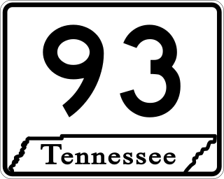
State Route 93 is a 38.6-mile-long (62.1 km) state highway in the eastern part of the U.S. state of Tennessee. It begins at US 11E/US 321 in Greeneville and ending at the Tennessee–Virginia state line in Bloomingdale, Tennessee.
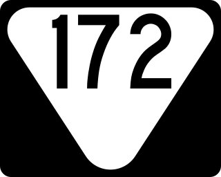
State Route 172 is a state highway in Greene County, Tennessee. It begins at a partially unsigned intersection with US 321 near downtown Greeneville and it is signed starting at its intersection with US 11E/US 321 Truck and ends at Interstate 81 in Baileyton.

State Route 351 is a state highway in Greene County, Tennessee. It begins at State Routes 70 and 107 in southern Greene County and ends at State Route 93 in northern Greene County. It forms a half loop around Greeneville and Tusculum.

State Route 381 is a state highway in Johnson City, Washington County, Tennessee. It serves as a bypass of Downtown on the north, west and south sides of the city. The route is also a retail corridor, lined with stores, restaurants and hotels.

State Route 73 is west-north state highway in East Tennessee. For most of its length, it is an unsigned companion route to U.S. Route 321.
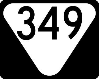
State Route 349 is a state highway in Greene County within the U.S. state of Tennessee.

State Route 34 is a state highway located in East Tennessee. The 155.7-mile-long (250.6 km) route traverses several cities through eight counties from the Knoxville area to the North Carolina state line via Greeneville and Bristol. The portion from Carter to Bristol is concurrent with U.S. Route 11E (US 11E) while the portion from Bristol to North Carolina is concurrent with US 421.

State Route 35 is a north–south state highway in East Tennessee. The 81.35 miles (130.92 km) long state highway traverses Blount, Sevier, a small portion of Jefferson, Cocke, and Greene Counties. Most of the route is a secret, or hidden designation, as it runs concurrently with U.S. Highways in the area.

