
Siaha is a town and headquarters of Siaha District and the Mara Autonomous District Council in southern Mizoram, northeast India. It is the fourth most populous town in Mizoram.

Sairang is a town in the Aizawl district of the Indian state of Mizoram. Due to its proximity with Aizawl city, it acts as a satellite town of the city.

Rampurhat II is a community development block that forms an administrative division in Rampurhat subdivision of Birbhum district in the Indian state of West Bengal.

Murarai I is a community development block that forms an administrative division in Rampurhat subdivision of Birbhum district in the Indian state of West Bengal.

Serchhip district is one of the eleven districts of Mizoram state in India. The district occupies an area of 1421.60 km2. Serchhip town is the administrative headquarters of the district. This district came into existence on 15 September 1998, being carved out of the larger Aizawl District. Because of the way it was created it includes part of East Lungdar Tehsil and part of Thingsulthliah Tehsil.

Siaha district is one of the eleven districts of Mizoram state in India. The district is bounded on the northwest by Lunglei district, on the north and west by Lawngtlai District and on the south and east by Myanmar. The district occupies an area of 1399.9 km2. Siaha town is the administrative headquarters of the Mara Autonomous District Council. The population had Increased from 56,574 to 67,658. It is the least populous district of Mizoram.
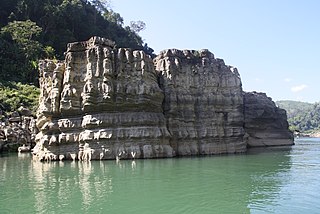
Lawngtlai district is one of the eleven districts of Mizoram state in India.

Banshihari is a community development block that forms an administrative division in Gangarampur Subdivision of Dakshin Dinajpur District in the Indian state of West Bengal.
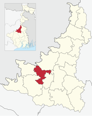
Suri I is a community development block that forms an administrative division in Suri Sadar subdivision of Birbhum district in the Indian state of West Bengal.

Sainthia is a community development block that forms an administrative division in Suri Sadar subdivision of Birbhum district in the Indian state of West Bengal.

Dubrajpur is a community development block that forms an administrative division in Suri Sadar subdivision of Birbhum district in the Indian state of West Bengal.

Rajnagar is a community development block that forms an administrative division in Suri Sadar subdivision of Birbhum district in the Indian state of West Bengal.
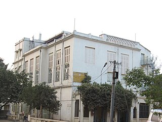
Bolpur Sriniketan is a community development block that forms an administrative division in Bolpur subdivision of Birbhum district in the Indian state of West Bengal.

Ilambazar is a community development block that forms an administrative division in Bolpur subdivision of Birbhum district in the Indian state of West Bengal.
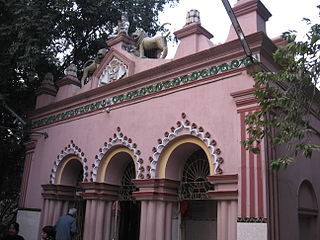
Labpur is a community development block that forms an administrative division in Bolpur subdivision district of Birbhum district in the Indian state of West Bengal.

Rampurhat I is a community development block that forms an administrative division in Rampurhat subdivision of Birbhum district in the Indian state of West Bengal.

Murarai II is a community development block that forms an administrative division in Rampurhat subdivision of Birbhum district in the Indian state of West Bengal.

Nalhati II is a community development block that forms an administrative division in Rampurhat subdivision of Birbhum district in the Indian state of West Bengal.

Government Saiha College is the only college in Siaha district of Mizoram, northeast India. It is the first college in southern Mizoram. It was established in 1978 as a result of public demand, and recognised by the Government of Mizoram in 1979. It started as only arts college. It is now under the jurisdiction of the Mizoram University and under recognition of the University Grants Commission (India).
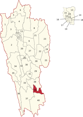
Saiha is one of the 40 Legislative Assembly constituencies of Mizoram state in India.


