Cauca Department is a department of Southwestern Colombia. Located in the southwestern part of the country, facing the Pacific Ocean to the west, the Valle del Cauca Department to the north, Tolima Department to the northeast, Huila Department to the east, and Nariño Department to the south. Putumayo and Caqueta Departments border the southeast portion of Cauca Department as well. It covers a total area of 29,308 km2 (11,316 sq mi), the 13th largest in Colombia. Its capital is the city of Popayán. The offshore island of Malpelo belongs to the department. It is located in the southwest of the country, mainly in the Andean and Pacific regions plus a tiny part (Piamonte) in the Amazonian region. The area makes up 2.56% of the country.

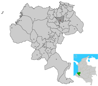
Toribío is a town and municipality in Cauca Department, Colombia. It is located at around 2°57′29″N76°16′17″W, in the elevation of about 2000 m.

Sotará is a stratovolcano located in Sotará, Cauca, Colombia. The volcano has hot springs of 80 °C (176 °F) and fumarole activity with a composition of 80% CO2 and 20% H2S. The volcano is located between the Silvia-Pijao Fault in the west and the San Jerónimo Fault in the east.

Buenos Aires is a town and municipality in the Cauca Department, Colombia. Founded in by Vasco de Guzmán and Alonso de Fuenmayor in 1551, the municipality covers an area 520 km2 (201 sq mi) and has a population of 21,300. The population is primarily engaged in agriculture and ranching.

Caldono is a town and municipality in the Cauca Department, Colombia.

Caloto is a town and municipality in the Cauca Department, Colombia. It was founded on June 29, 1543 by Sebastián de Belalcázar.

Corinto is a town and municipality in the Cauca Department, Colombia.

Inzá is a town and municipality in the Cauca Department, Colombia. It was part of the San Agustín culture in the Pre-Columbian era, and home to the Tierradentro site. It is mostly inhabited by Paez people.

Miranda is a town and municipality in the Cauca Department, Colombia.

Morales is a town and municipality in the Cauca Department, Colombia.

Padilla is a town and municipality in the Cauca Department, in Southwestern Colombia. Tourist attractions in and around the area include San Antonio gardens.

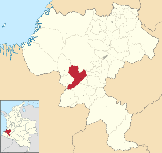
Patía is a Municipality located in Cauca Department, Colombia. The administrative centre of Patía is El Bordo.

Rosas is a town and municipality in the Cauca Department, Colombia.

Sotará is a town and municipality in the Cauca Department, Colombia.

Jamundí is a town and municipality in the Department of Valle del Cauca, Colombia.

Versalles is a town and municipality located in the Department of Valle del Cauca, Colombia.

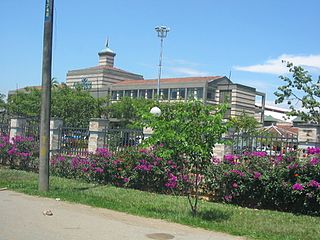
Villa Rica is a town and municipality in the Cauca Department, Colombia. The municipality has a Baháʼí House of Worship in the vereda Agua Azul.

The Patía River is a river in southwestern Colombia. It flows over 400 kilometres (250 mi) to drain into the Pacific Ocean north of Tumaco. The Patía River is the longest river on the Colombian Pacific Coast. The last 90 kilometres (56 mi) is navigable by boat.

Cauca State was one of the states of Colombia, which existed from 1857 until 1886.
The Romeral fault system is a megaregional system of major parallel and anastomosing faults in the Central Ranges of the Colombian Andes and the Cauca, Amagá, and Sinú-San Jacinto Basins. The system spans across ten departments of Colombia, from northeast to south Bolívar, Sucre, Córdoba, Antioquia, Caldas, Risaralda, Quindío, Valle del Cauca, Cauca and Nariño. The fault zone extends into Ecuador where it is known as the Peltetec fault system. The in detail described part of the Romeral fault system south of Córdoba has a total length of 697.4 kilometres (433.3 mi) with a cumulative length of 1,787.9 kilometres (1,110.9 mi) and runs along an average north to south strike of 017.6 ± 16, cross-cutting the central-western portion of Colombia.


