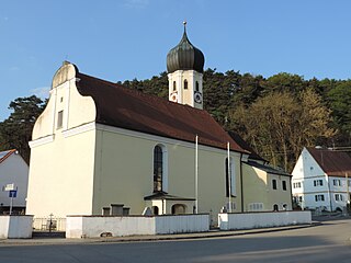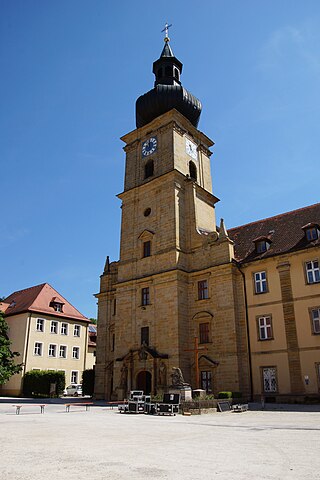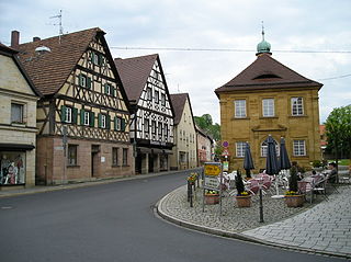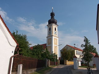
Affing is a municipality near Augsburg in Aichach-Friedberg district, in Swabia - Bavaria, southern Germany.

Baar is a municipality in Aichach-Friedberg district, in Bavaria, southern Germany.

Mauerstetten is a municipality in the district of Ostallgäu in the southwest of Bavaria in Germany.

Kissing is a municipality in the Aichach-Friedberg district, in Bavaria, Germany. It is located just 10 km south of Augsburg and has about 11,200 inhabitants (2007).

Neusäß, also given in English as Neusaess, is a town in the District of Augsburg, Bavaria, Germany. The town lies on the Schmutter river and borders the city of Augsburg. As of 2018, the city had 22,164 inhabitants.

Schönau an der Brend is a municipality with 1,378 inhabitants in the district of Rhön-Grabfeld in northern Bavaria, Germany. It consists of two villages: Schönau an der Brend and Burgwallbach.

Lenggries is a municipality and a village in Bavaria, Germany. It is the center of the Isarwinkel, the region along the Isar between Bad Tölz and Wallgau. The town has about 9,500 inhabitants. By area, it is the largest rural municipality ("Gemeinde") in what was formerly West Germany, and the 7th-largest overall.

Ensdorf is a municipality in the district of Amberg-Sulzbach in Bavaria in Germany.

Untermeitingen is a municipality in the district of Augsburg in Bavaria in Germany.

Wellheim is a municipality in the district of Eichstätt in Bavaria in Germany. It lies in the so-called "Urdonautal", the valley the Danube used some 300,000 years ago on its way to the Black Sea. Today a little river, the Schutter flows through the village in the opposite direction. The community consists of 5 villages and has about 2800 inhabitants. Today there is no industry at all but a wonderful landscape with a pure nature.

Bubenreuth is a municipality in the district of Erlangen-Höchstadt, in Bavaria, Germany.

Neunkirchen am Brand is a municipality in the district of Forchheim in Bavaria in Germany.

Riedbach is a municipality in the district of Haßberge in Bavaria in Germany. It is situated 20 km northeast of Schweinfurt and 8 km north of Haßfurt.

Valley is a municipality in the district of Miesbach in Bavaria in Germany. The municipality of Valley holds, as of 2006, 2949 inhabitants.

Bechtsrieth is a municipality in the administrative district of Neustadt an der Waldnaab in Bavaria in Germany. It has 1,051 inhabitants, of which the males make up 48.6% (511) and the females, 51.4% (540).

Tiefenbach is a municipality in the district of Passau in Bavaria in Germany.

Pfatter is a municipality in the district of Regensburg in Bavaria, Germany. It lies on the river Danube. The Danube village used to be a central place in the Gäuboden and had a central function in its region.

Dittelbrunn is a municipality in the district of Schweinfurt in Bavaria, Germany.

Saal an der Saale is a municipality in the district of Rhön-Grabfeld in Bavaria in Germany. It is situated on the river Franconian Saale. The municipality consists the two townships Saal an der Saale and Waltershausen.

Prem is a municipality in the Weilheim-Schongau district, in Bavaria, Germany.


