Ubombo Ranches Airfield Big Bend | |||||||||||
|---|---|---|---|---|---|---|---|---|---|---|---|
| Summary | |||||||||||
| Airport type | Public | ||||||||||
| Serves | Big Bend | ||||||||||
| Elevation AMSL | 465 ft / 142 m | ||||||||||
| Coordinates | 26°46′10″S31°56′14″E / 26.76944°S 31.93722°E | ||||||||||
| Map | |||||||||||
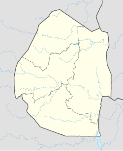 FDUB Location of the airport in Eswatini | |||||||||||
| Runways | |||||||||||
| |||||||||||
| Source: GCM [1] Google Maps [2] | |||||||||||
Ubombo Ranches Airfield( ICAO : FDUB) is an airport serving the sugar refinery town [3] of Big Bend in Lubombo Region, Eswatini. The runway is just west of the refinery.
Contents
The Ubombo non-directional beacon (Ident: UB) is on the field. [4]