
Box Elder County is a county at the northwestern corner of Utah, United States. At the 2020 census, the population was 57,666, up from the 2010 figure of 49,975. Its county seat and largest city is Brigham City. The county was named for the box elder trees that abound in the county.
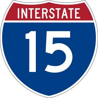
Interstate 15 (I-15) is a major Interstate Highway in the Western United States, running through Southern California and the Intermountain West. I-15 begins near the Mexican border in San Diego County and stretches north to Alberta, Canada, passing through the states of California, Nevada, Arizona, Utah, Idaho, and Montana. The Interstate serves the cities of San Diego, San Bernardino, Las Vegas, Salt Lake City, Idaho Falls, and Great Falls. It also passes close to the urban areas of Los Angeles, Orange, and Riverside counties, California. The stretches of I-15 in Idaho, Utah, and Arizona have been designated as the "Veterans Memorial Highway". The southern end is at a junction with I-8 and State Route 15 (SR 15) in San Diego, and the northern end is at a connection with Alberta Highway 4 at the Sweetgrass–Coutts Border Crossing.

Interstate 84 (I-84) is an Interstate Highway in the northwestern United States. The highway runs from Portland, Oregon, to a junction with I-80 near Echo, Utah. The highway serves and connects Portland, Boise, and Ogden, Utah. With connections to other highways, I-84 connects these cities to points east and also serves as part of a corridor between Seattle and Salt Lake City. The sections running through Oregon and Idaho are also known as the Vietnam Veterans Memorial Highway.
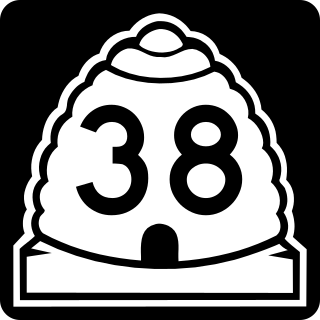
State Route 38 is a state highway in Box Elder County in the U.S. state of Utah. It runs north from Brigham City to Collinston. The highway was originally State Route 69, but was renumbered in 1993 due to sign theft caused by the sexual connotation of the number.

Interstate 84 (I-84) is a part of the Interstate Highway System that links Portland, Oregon, to I-80 near Echo, Utah. The 117.38-mile-long (188.90 km) segment in the US state of Utah is the shortest of any of the three states the western I-84 passes through and contains the eastern terminus of the highway. I-84 enters Box Elder County near Snowville before becoming concurrent with I-15 in Tremonton. The concurrent highways travel south through Brigham City and Ogden and separate near Ogden-Hinckley Airport. Turing east along the Davis County border, I-84 intersects US Route 89 (US-89) and enters Weber Canyon as well as Morgan County. While in Morgan County, I-84 passes the Devil's Gate-Weber Hydroelectric Power Plant and Devil's Slide rock formation. Past Morgan, the highway crosses into Summit County, past the Thousand Mile Tree before reaching its eastern terminus at I-80 near Echo.

Interstate 15 (I-15) runs north–south in the U.S. state of Utah through the southwestern and central portions of the state, passing through most of the state's population centers, including St. George and those comprising the Wasatch Front: Provo–Orem, Salt Lake City, and Ogden–Clearfield. It is Utah's primary and only north–south interstate highway, as the vast majority of the state's population lives along its corridor; the Logan metropolitan area is the state's only Metropolitan Statistical Area through which I-15 does not pass. In 1998, the Utah State Legislature designated Utah's entire portion of the road as the Veterans Memorial Highway.

State Route 42 (SR-42) is a 7.390-mile-long (11.893 km) state highway completely within Box Elder County in the U.S. state of Utah. It connects SR-30 to former SH-81 at the Idaho state line. The highway was formerly part of U.S. Route 30S (US-30S), prior to being bypassed and replaced with what is now signed as Interstate 84 (I-84).
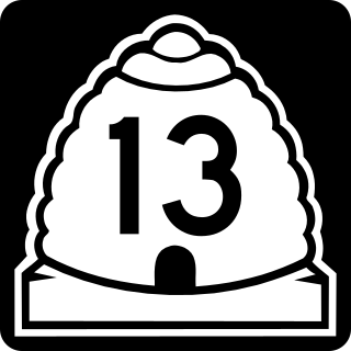
State Route 13 (SR-13) is a state highway in northern Utah, running 32.841 miles (52.852 km) parallel to I-15 in Box Elder County from Brigham City to Riverside. Most of SR-13 is a former routing of U.S. Route 191.

U.S. Route 89 in the U.S. state of Utah is a north-south United States Highway spanning more than 502 miles (807.891 km) through the central part of the state, making it the longest road in Utah. Between Provo and Brigham City, US-89 serves as a local road, paralleling Interstate 15, but the portions from Arizona north to Provo and Brigham City northeast to Wyoming serve separate corridors. The former provides access to several national parks and Arizona, and the latter connects I-15 with Logan, the state's only Metropolitan Statistical Area not on the Interstate.
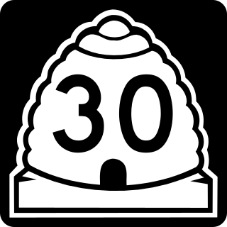
State Route 30 (SR-30) is a state highway in the U.S. state of Utah. It is the only highway signed as a Utah state route to traverse the entire width of the state. Legislatively the highway exists as 3 separate segments. With implied connections via Interstate 84 and U.S. Route 89, the highway is drivable as a continuous route from Nevada to Wyoming. The western segment is a historic corridor paralleling the pre-Lucin Cutoff routing of the First transcontinental railroad. A portion of the eastern segment has been designated the Bear Lake Scenic Byway as part of the Utah Scenic Byways program. The route was created in 1966 by combining several state highways into a single designation.
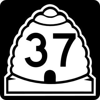
State Route 37 (SR-37) is a state highway in the U.S. state of Utah, forming a 270° loop through the western part of the Ogden-Clearfield metropolitan area. The route is 12.35 miles (19.88 km).
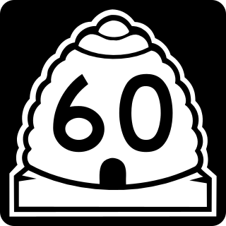
State Route 60 (SR-60) is a 7.496-mile-long (12.064 km) state highway in the U.S. state of Utah, serving local traffic in the Ogden area. It parallels Interstate 84 (I-84) from SR-26 in Riverdale to U.S. Route 89 (US-89) in South Weber, and was part of the first state highway into Weber Canyon.
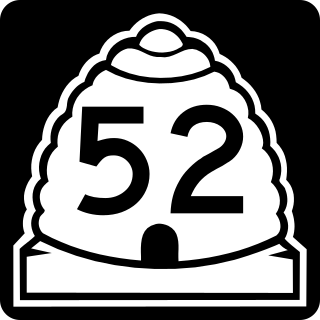
State Route 52 (SR-52) is a state highway in the U.S. state of Utah, connecting I-15 with US-189 along Orem's 800 North.

State Route 53 (SR-53) is a 1.949-mile-long (3.137 km) state highway in the U.S. state of Utah, connecting Interstate 15 (I-15) and I-84 with U.S. Route 89 (US-89) via Ogden's 24th Street. SR-53 was created in 1969 as a remnant of SR-37, which was truncated to its current length at that time.

State Route 172 (SR-172) is a state highway in the U.S. state of Utah connecting 6200 South and West Valley City to SR-201 and I-80 via 5600 West in a span of 9.22 miles (14.84 km). The highway was formed in 1985.

State Route 86 is a state highway in the U.S. state of Utah. It is a short connector road, only 2.1 miles (3.4 km) long, that connects I-84 with SR-65 in the town of Henefer.

State Route 83 (SR-83) is a 30.726-mile (49.449 km) state highway in eastern Box Elder County, Utah, United States, that connects the towns of Corinne and Howell and provides access to Golden Spike National Historic Site from the east, as well as Thiokol's facility.
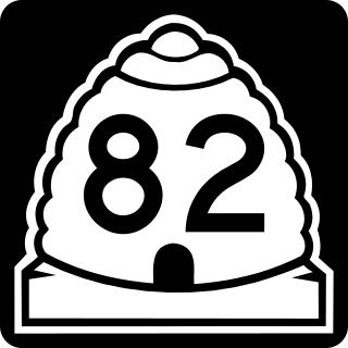
State Route 82 (SR-82) is a state highway in the U.S. state of Utah. It is a short connector road, only 3.178 miles (5.114 km) long, that connects the towns of Tremonton and Garland in Box Elder County.

Dozens of business routes of Interstate 84 (I-84) exist. The existing and former business routes are located along the western and eastern segments of I-84.


