
U.S. Route 91 or U.S. Highway 91 is a 172.7-mile-long (277.9 km) north–south United States highway running from Brigham City, Utah, to Idaho Falls, Idaho, in the U.S. states of Idaho and Utah. Despite the "1" as the last digit in the number, US 91 is no longer a cross-country artery, as it has mostly been replaced by Interstate 15. The highway currently serves to connect the communities of the Cache Valley to I-15 and beyond. Prior to the mid-1970s, US 91 was an international commerce route from Long Beach, California, to the Canada–US border north of Sweetgrass, Montana. US 91 was routed on the main streets of most of the communities it served, including Las Vegas Boulevard in Las Vegas and State Street in Salt Lake City. From Los Angeles to Salt Lake, the route was built along the corridor of the Arrowhead Trail. A portion of the highway's former route in California is currently State Route 91.

U.S. Route 191 is a spur of U.S. Route 91 that has two segments. The southern segment runs for 1,102 miles (1,773 km) from Douglas, Arizona on the Mexican border to the southern part of Yellowstone National Park. The northern segment runs for 442 miles (711 km) from the northern part of Yellowstone National Park to Loring, Montana, at the Canada–US border. Unnumbered roads within Yellowstone National Park connect the two segments. The highway passes through the states of Arizona, Utah, Wyoming, and Montana.

State Route 9 (SR-9) is a 57.075-mile-long (91.853 km) state highway in southern Utah, serving Zion National Park. It starts at the western terminus at exit 16 on Interstate 15 (I-15), passing through Zion National Park, and ending at the eastern junction with U.S. Route 89 (US-89). The entire length of the highway has been designated the Zion Park Scenic Byway. There is a fee to travel through Zion National Park, but the Zion-Mt. Carmel Highway is open to private vehicles year-round. A separate fee is required for vehicles 7'10" wide and/or 11'4" tall or larger. This fee pays for a park employee to stop traffic from the other side of the Zion - Mt. Carmel Tunnel to allow the larger vehicles to pass through. There is a smaller tunnel in Zion National Park that does not require an escort. Commercial vehicles are prohibited from using SR-9 and are directed to use SR-20 instead.
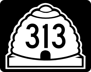
State Route 313 (SR-313) is a 22.506-mile-long (36.220 km) state highway in San Juan and Grand Counties in the U.S. State of Utah. The highway has been designated the Dead Horse Point Mesa Scenic Byway. The highway is an access road for both the Island in the Sky district of Canyonlands National Park and Dead Horse Point State Park. The highway is a toll road in Dead Horse Point State Park. Westbound traffic is charged a state park entrance fee at the park boundary.

State Route 42 (SR-42) is a 7.390-mile-long (11.893 km) state highway completely within Box Elder County in the U.S. state of Utah. It connects SR-30 to former SH-81 at the Idaho state line. The highway was formerly part of U.S. Route 30S (US-30S), prior to being bypassed and replaced with what is now signed as Interstate 84 (I-84).
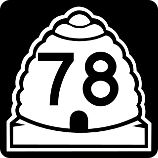
State Route 78 (SR-78) is a 9.418-mile-long (15.157 km) state highway in the U.S. state of Utah that serves as a connector from the town of Levan and SR-28 to Interstate 15 (I-15) and the Chicken Creek Reservoir. The route was formed in 1977 and has preserved its initial state since then.
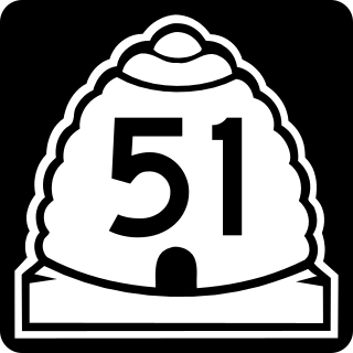
State Route 51 (SR-51) is a short 3.339-mile-long (5.374 km) state highway completely within Utah County in northern Utah. SR-51 connects SR-147 to U.S. Route 89 (US-89). The highway is an old routing of US-91.
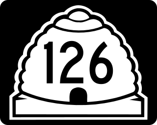
State Route 126 (SR-126) is a highway completely within the Ogden-Clearfield metropolitan area in northern Utah that makes a loop around Interstate 15 in its more than twenty-one mile path. The street is given the names Main Street, 1900 West and 2000 West respectively from south to north. Previous to 1977, SR-126 was a road in southern Utah. A portion of the highway is an old routing of US-91.

U.S. Route 89 in the U.S. state of Utah is a north-south United States Highway spanning more than 502 miles (807.891 km) through the central part of the state, making it the longest road in Utah. Between Provo and Brigham City, US-89 serves as a local road, paralleling Interstate 15, but the portions from Arizona north to Provo and Brigham City northeast to Wyoming serve separate corridors. The former provides access to several national parks and Arizona, and the latter connects I-15 with Logan, the state's only Metropolitan Statistical Area not on the Interstate.

State Route 224 (SR-224) is a north–south state highway in the U.S. state of Utah. The route connects Interstate 80 and Kimball Junction in the north to Park City in the south. Ski resorts line the mostly four-lane highway, including Park City Resort and Deer Valley. The highway has changed paths many times since its formation in 1941, at one point connecting to Big Cottonwood Canyon and Salt Lake County. However, realignments brought the route to its present path by 1990.

State Route 65 (SR-65) is a 28.315-mile-long (45.569 km) state highway in northern Utah. It connects Interstate 80 (I-80) near the Mountain Dell Dam to I-84 in Henefer.

State Route 7 (SR-7), also known as Southern Parkway, is a 26.1-mile (42.0 km) east-west state highway in southern Washington County in the extreme southwestern portion of the US state of Utah. It connects the southern periphery of St. George with Hurricane, while providing access to the St. George Regional Airport.

State Route 103 (SR-103) is a 0.225-mile-long (362 m) urban minor arterial state highway in the U.S. state of Utah. It branches off from SR-126 in downtown Clearfield and extends east to Interstate 15 (I-15), with the roadway continuing to the Falcon Hill National Aerospace Research Park, just outside Hill Air Force Base. The entire route is located in Davis County and was formed in 1965 coinciding with the construction of I-15.

State Route 83 (SR-83) is a 30.726-mile (49.449 km) state highway in eastern Box Elder County, Utah, United States, that connects the towns of Corinne and Howell and provides access to Golden Spike National Historic Site from the east, as well as Thiokol's facility.

State Route 143 (SR-143) is a state highway in the U.S. state of Utah. The entire highway has been designated the Brian Head-Panguitch Lake Scenic Byway as part of the Utah Scenic Byways program. This road has also been designated as Utah's Patchwork Parkway as part of the National Forest Scenic Byway and National Scenic Byway programs.

State Route 178 (SR-178) is a state highway in the U.S. state of Utah. Spanning just 1.2 miles (1.9 km) in Payson, it connects Interstate 15 to SR-198.
State Route 235 (SR-235), also known as Washington Boulevard, is a state highway in the U.S. state of Utah. Spanning 3.2 miles (5.1 km), it serves as a north/south minor arterial road through Weber County, connecting US-89 in Ogden to SR-134 in North Ogden.

State Route 222 (SR-222) is a state highway in the U.S. state of Utah. Spanning 3.3 miles (5.3 km), it connects the city of Midway on Utah 113 with Wasatch Mountain State Park, and non-state-maintained connections to Park City and Brighton via Empire Pass and Guardsman Pass.
State Route 241 is a state highway completely within Utah County in northern Utah, in the cities of Orem and Lindon. The route connects SR-114 to US-89 via an interchange at I-15.

