
State Route 12 or Scenic Byway 12 (SR-12), also known as "Highway 12 — A Journey Through Time Scenic Byway", is a 123-mile-long (198 km) state highway designated an All-American Road located in Garfield County and Wayne County, Utah, United States.
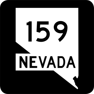
State Route 159 is a 31.204-mile (50.218 km) east–west highway in Clark County, Nevada, United States, providing access to Red Rock Canyon and serving as a thoroughfare in the Las Vegas metropolitan area. A portion of the west end of the route is designated a Nevada Scenic Byway.

State Route 171 (SR-171) is a state highway in the Salt Lake City metropolitan area in northern Utah that runs from SR-111 in Magna in the west side of the city to Interstate 215 in the city of Millcreek in the eastern part valley. In its sixteen-mile span, the route is named 3500 South and 3300 South.

State Route 279 is a state highway in the U.S. state of Utah. The highway was constructed in 1962–1963 to service the Cane Creek potash mine and processing plant southwest of Moab. The highway was named one of the most beautiful highways opened to traffic in 1963. The entire length of SR-279 has been designated the Potash – Lower Colorado River Scenic Byway by the Utah State Legislature, however is known locally as Potash Road.

U.S. Route 89 in the U.S. state of Utah is a north-south United States Highway spanning more than 502 miles (807.891 km) through the central part of the state, making it the longest road in Utah. Between Provo and Brigham City, US-89 serves as a local road, paralleling Interstate 15, but the portions from Arizona north to Provo and Brigham City northeast to Wyoming serve separate corridors. The former provides access to several national parks and Arizona, and the latter connects I-15 with Logan, the state's only Metropolitan Statistical Area not on the Interstate.

The Dinosaur Diamond is a 486-mile (782 km) scenic and historic byway loop through the dinosaur fossil laden Uinta Basin of the U.S. states of Utah and Colorado. The byway comprises the following two National Scenic Byways:

State Route 92 (SR-92), also known in various portions as the Timpanogos Highway, and Alpine Loop Scenic Highway is a scenic state highway in Utah County, Utah that runs from I-15/US-89 in Lehi to US-189 in Provo Canyon. The route is 27.296 miles (43.929 km) long and is the only road with access to Sundance Ski Resort and the Aspen Grove Family Camp and Conference Center.
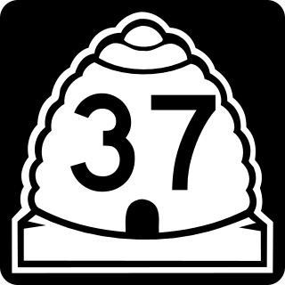
State Route 37 (SR-37) is a state highway in the U.S. state of Utah, forming a 270° loop through the western part of the Ogden-Clearfield metropolitan area. The route is 12.35 miles (19.88 km).
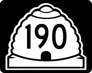
State Route 190 (SR-190) or the Big Cottonwood Canyon Scenic Byway is primarily an east and west state highway and scenic highway in eastern Salt Lake County, Utah, United States, that begins at Interstate 215 (I-215), runs through Big Cottonwood Canyon, and ends at the Salt Lake and Wasatch county line.

State Route 226 (SR-226) is a state highway in the U.S. state of Utah, connecting the Snowbasin ski resort with SR-167.

State Route 53 (SR-53) is a 1.949-mile-long (3.137 km) state highway in the U.S. state of Utah, connecting Interstate 15 (I-15) and I-84 with U.S. Route 89 (US-89) via Ogden's 24th Street. SR-53 was created in 1969 as a remnant of SR-37, which was truncated to its current length at that time.

State Route 96 (SR-96) is a state highway in the U.S. state of Utah, connecting SR-264 and the town of Scofield to US-6 in a span of 22.76 miles (36.63 km). The route is known as the Eccles Canyon Scenic Byway, part of The Energy Loop, a National Scenic Byway.

State Route 167 (SR-167) is a north–south 11.092-mile (17.851 km) state highway in Morgan and Weber counties in northern Utah, United States, that connects Weber Canyon at Interstate 84 (I-84), west of Mountain Green, with the Ogden Valley, near Huntsville. Nearly the entire route comprises Trappers Loop Road.

State Route 143 (SR-143) is a state highway in the U.S. state of Utah. The entire highway has been designated the Brian Head-Panguitch Lake Scenic Byway as part of the Utah Scenic Byways program. This road has also been designated as Utah's Patchwork Parkway as part of the National Forest Scenic Byway and National Scenic Byway programs.

State Route 153 (SR-153) is a state highway in the U.S. state of Utah. Just over half of the western portion of the highway has been designated the Beaver Canyon Scenic Byway as part of the Utah Scenic Byways and National Forest Scenic Byways programs.

State Route 146 (SR-146) was a state highway in the U.S. state of Utah that connected the city of Pleasant Grove with SR-92 at the mouth of American Fork Canyon, some 5.3 miles (8.5 km) to the north in Utah County.

Utah State Route 158 is a state highway in the U.S. state of Utah. Spanning 11.6 miles (18.7 km), it connects Powder Mountain Ski Resort and the towns of Liberty and Eden with Utah State Route 39 in Ogden Canyon in Weber County. A portion of the road is designated as part of the Ogden River Scenic Byway.

State Route 203 (SR-203) is a state highway in the U.S. state of Utah. Spanning 6.1 miles (9.8 km), it serves as a north–south principal arterial road through eastern Ogden, connecting US-89, Weber State University, and SR-39.

State Route 204 (SR-204), also known as Wall Avenue, is a state highway in the U.S. state of Utah. Spanning 5.4 miles (8.7 km), it serves as a north/south arterial road through the city of Ogden, from SR-26 to US-89 just north of Ogden in Harrisville.

