
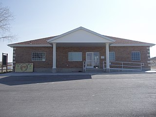
Portage is a town in Box Elder County, Utah, United States. The population was 245 at the 2010 census. The town received its name from Lorenzo Snow, an apostle of the Church of Jesus Christ of Latter-day Saints. He named it Portage after his birthplace of Portage County, Ohio.

Lewiston is a city in Cache County, Utah, United States. It is situated at the northern Utah border and borders the state of Idaho. The population was 1,939 at the 2020 census. It is included in the Logan, Utah-Idaho (partial) Metropolitan Statistical Area.

Trenton is a town in Cache County, Utah, United States. The population was 512 at the 2020 census. It is included in the Logan, Utah-Idaho (partial) Metropolitan Statistical Area.

Wellsville is a city in Cache County, Utah, United States. The population was 4,060 at the 2020 census. Wellsville is located at the base of the Wellsville mountain range. It is included in the Logan, Utah-Idaho Metropolitan Statistical Area.

Wellington is a city in Carbon County, Utah, United States. The population was 1,605 at the 2020 census. The community was settled in 1878 by a band of thirteen Mormons led by Jefferson Tidwell. The town was named for Justus Wellington Seeley, Jr., of the Emery County Court. Many residents commute to nearby Price for their jobs, or work in one of the various coal mines in the area.
Clawson is a town in Emery County, Utah, United States. The population was 163 at the 2020 census. The community was named after Rudger Clawson, a Mormon leader.

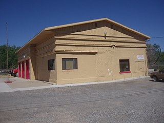
Antimony is a town in Garfield County, Utah, United States. The population was 118 at the 2020 census.

Cannonville is a town in Garfield County, Utah, United States, along Utah Scenic Byway 12. As of the 2020 census, the population was 186.

Henrieville is a town in Garfield County, Utah, United States, along Utah Scenic Byway 12. As of the 2020 census, the town population was 221.
Levan is a town in Juab County, Utah, United States. As of the 2020 census it had a population of 862.

Meadow is a town in Millard County, Utah, United States. The population was 254 at the 2000 census. Originally called Meadow Creek, the town is located about eight miles south of Fillmore.

Junction is a town in and the county seat of Piute County, Utah, United States. The population was 191 at the 2010 census.

Laketown is a town in Rich County, Utah, United States. The population was 299 at the 2020 census. The town is named for nearby Bear Lake.

Redmond is a town in Sevier County, Utah, United States. The population was 730 at the 2010 census. Redmond was first settled in 1876, and named for red mounds to the west of the town.
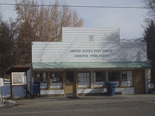
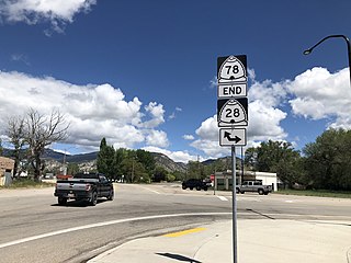
Henefer is a town in Summit County, Utah, United States. It is part of the Salt Lake City, Utah Metropolitan Statistical Area. The population was 766 at the 2010 census.

Rush Valley is a town in Tooele County, Utah, United States, located in the northwest of Rush Valley. It is part of the Salt Lake City, Utah Metropolitan Statistical Area. The population was 447 at the 2010 census, with an estimate population of 494 in 2019.
Goshen is a town in Utah County, Utah, United States. It is part of the Provo–Orem Metropolitan Statistical Area. The population was 978 at the 2020 census.

Rockville is a town in Washington County, Utah, United States. It is located along the Virgin River near the mouth of Zion Canyon. The city lies just outside the park boundary for Zion National Park; the park entrance is located approximately 5 miles (8 km) northeast of the town.

Loa is a town in, and the county seat of, Wayne County, Utah, United States, along State Route 24. The population was 572 at the 2010 census.

Huntsville is a town in Weber County, Utah, United States. The population was 608 at the 2010 census. It is located in Ogden Valley. It is part of the Ogden–Clearfield, Utah Metropolitan Statistical Area, as well as the Ogden Valley census county division.


