Garden, Utah

Last updated
Garden, Utah
CDP
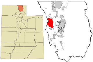
Rich County Utah incorporated and unincorporated areas Garden highlighted.svg
Location in Rich County and the state of Utah
Map of USA UT.svg
Location of Utah in the United States
Coordinates: 41°53′23″N111°23′44″W / 41.88972°N 111.39556°W / 41.88972; -111.39556 Coordinates: 41°53′23″N111°23′44″W / 41.88972°N 111.39556°W / 41.88972; -111.39556
Country United States
State Utah
County Rich
Area
  Total28.3 sq mi (73.3 km2)
  Land28.3 sq mi (73.3 km2)
  Water0.0 sq mi (0.0 km2)
Elevation
6,004 ft (1,830 m)
Population
 (2010)
  Total181
  Density2.9/sq mi (1.1/km2)
Time zone UTC-7 (Mountain (MST))
  Summer (DST) UTC-6 (MDT)
FIPS code 49-27902 [1]
GNIS feature ID1852443 [2]

Garden is a census-designated place (CDP) in Rich County, Utah, United States. It includes the southernmost subdivision of Garden City at its northeast and the hamlet of Meadowville at its southeast; otherwise it is comprised of farmland. The population was 181 at the 2010 census.

Contents

Geography

As defined by the United States Census Bureau, the CDP has a total area of 28.3 square miles (73.3 km2), of which, 28.3 square miles (73.3 km2) of it is land and 0.04 square miles (0.1 km2) of it (0.07%) is water.

Demographics

Historical population
CensusPop.
2000 83
2010 181118.1%

As of the census [1] of 2000, there were 83 people, 37 households, and 27 families residing in the CDP. The population density was 2.9 people per square mile (1.1/km2). There were 533 housing units at an average density of 18.8/sq mi (7.3/km2). The racial makeup of the CDP was 100.00% White.

There were 37 households, out of which 27.0% had children under the age of 18 living with them, 59.5% were married couples living together, 8.1% had a female householder with no husband present, and 27.0% were non-families. 24.3% of all households were made up of individuals, and 8.1% had someone living alone who was 65 years of age or older. The average household size was 2.24 and the average family size was 2.67.

In the CDP, the population was spread out, with 22.9% under the age of 18, 2.4% from 18 to 24, 22.9% from 25 to 44, 30.1% from 45 to 64, and 21.7% who were 65 years of age or older. The median age was 48 years. For every 100 females, there were 102.4 males. For every 100 females age 18 and over, there were 106.5 males.

The median income for a household in the CDP was $37,188, and the median income for a family was $43,750. Males had a median income of $35,893 versus $38,750 for females. The per capita income for the CDP was $21,596. There were 7.4% of families and 8.3% of the population living below the poverty line, including 10.0% of under eighteens and 14.3% of those over 64.

See also

Related Research Articles

Mendeltna, Alaska CDP in Alaska, United States

Mendeltna is a census-designated place (CDP) in Valdez-Cordova Census Area, Alaska, United States. The population was 39 at the 2010 census, down from 63 in 2000.

South Gate, Maryland Former census-designated place in Maryland, United States

South Gate was a census-designated place (CDP) in Anne Arundel County, Maryland, United States, for the 2000 census, at which time its population was 28,672. It was added primarily to the Glen Burnie CDP for the 2010 census.

Gardnerville Ranchos, Nevada CDP in Nevada, United States

Gardnerville Ranchos is a census-designated place (CDP) in Douglas County, Nevada, United States. As of the 2010 census, the CDP population was 11,312. The area is the namesake for the Gardnerville Ranchos Micropolitan Statistical area which includes other areas of Douglas County.

Brimhall Nizhoni, New Mexico CDP in New Mexico, United States

Brimhall Nizhoni is a census-designated place (CDP) in McKinley County, New Mexico, United States. The population was 199 at the 2010 census. The Navajo Coyote Canyon Chapter House is located in Brimhall.

Yah-ta-hey, New Mexico CDP in New Mexico, United States

Yah-ta-hey is a census-designated place (CDP) in McKinley County, New Mexico, United States. As of the 2000 census, the CDP population was 580. The English name for this place is an approximation of a Navajo greeting, though the actual Navajo name means "like the devil", in reference to J.B. Tanner, who operated the trading post located here; the same name is used for Aneth, Utah, where Tanner also worked.

Bunker Hill, Oregon CDP in Oregon, United States

Bunker Hill is a census-designated place (CDP) in Coos County, Oregon, United States. As of the 2010 census the population was 1,444.

Madisonburg, Pennsylvania Census designated place in Pennsylvania, United States

Madisonburg is an unincorporated community and census-designated place (CDP) in Miles Township, Centre County, Pennsylvania, United States. It is part of the State College, Pennsylvania Metropolitan Statistical Area. The population was 168 at the 2010 census.

Donaldson, Pennsylvania CDP in Pennsylvania, United States

Donaldson is a census-designated place (CDP) in Frailey Township, Schuylkill County, Pennsylvania, United States. The population was 325 at the 2000 census.

Cache, Utah CDP in Utah, United States

Cache is a census-designated place (CDP) in Cache County, Utah, United States. The population was 38 at the 2010 census. It is included in the Logan, Utah-Idaho (partial) Metropolitan Statistical Area.

Peter, Utah Census-designated place in Utah, United States

Peter is a census-designated place (CDP) on the west-central edge of Cache County, Utah, United States. The population was 324 at the 2010 census. It is included in the Logan, Utah-Idaho (partial) Metropolitan Statistical Area.
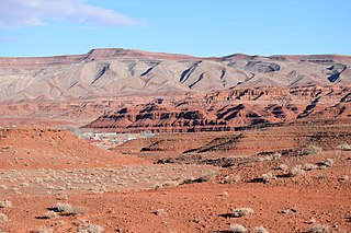
Halchita, Utah CDP in Utah, United States

Halchita is a census-designated place (CDP) in San Juan County, Utah, United States. The population was 270 at the 2000 census.
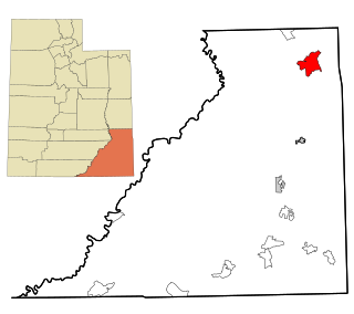
Halls Crossing, Utah CDP in Utah, United States

Halls Crossing is a census-designated place (CDP) on the western edge of San Juan County, Utah, United States. The population was six at the 2010 Census. State Route 276 crosses the Colorado River at Halls Crossing using the Charles Hall Ferry.

Navajo Mountain, Utah CDP in Utah, United States

Navajo Mountain is a census-designated place (CDP) in San Juan County, Utah, United States. The population was 379 at the 2000 census.

Tselakai Dezza, Utah CDP in Utah, United States

Tselakai Dezza is a census-designated place (CDP) in San Juan County, Utah, United States. The population was 103 at the 2000 census.

White Mesa, Utah CDP in Utah, United States

White Mesa is a census-designated place (CDP) in San Juan County, Utah, United States. The population was 277 at the 2000 census. It is located within a section of the Ute Mountain Ute Tribe reservation along U.S. Route 191 south of Blanding, Utah, and north of Bluff, Utah.

Snyderville, Utah CDP in Utah, United States

Snyderville is a census-designated place (CDP) near the southwestern edge of Summit County, Utah, United States. Prior to the 2010 Census, the area was designated as South Snyderville Basin CDP. The population was 3,636 at the 2000 census.

Woodland, Utah CDP in Utah, United States

Woodland is a census-designated place (CDP) in Summit County, Utah, United States. The population was 335 at the 2000 census.

Fort Duchesne, Utah CDP in Utah, United States

Fort Duchesne is a census-designated place (CDP) in Uintah County, Utah, United States. The population was 714 at the 2010 census, an increase from the 2000 figure of 621.

Palmyra, Utah CDP in Utah, United States

Palmyra is a census-designated place (CDP) in Utah County, Utah, United States. It is part of the Provo–Orem Metropolitan Statistical Area. The population was 491 at the 2010 census. Palmyra is located directly west of Springville and northwest of Spanish Fork.
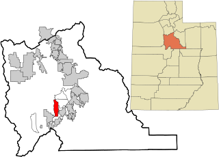
Oljato–Monument Valley, Utah CDP in Utah, United States

Oljato-Monument Valley is a census-designated place (CDP) in San Juan County, Utah, United States. The population was 864 at the 2000 census.

References

  1. 1 2 "U.S. Census website". United States Census Bureau . Retrieved 2008-01-31.
  2. "US Board on Geographic Names". United States Geological Survey. 2007-10-25. Retrieved 2008-01-31.

Commons-logo.svg Media related to Garden, Utah at Wikimedia Commons