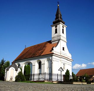
Ratkovo is a village located in the Odžaci municipality, West Bačka District, Vojvodina, Serbia. As of 2011, the population of the village is 3,411 inhabitants.

Banovo Polje is a village in Serbia. It is situated in the Bogatić municipality, in the Mačva District. The village has a Serb ethnic majority and its population numbering 1,619 people.

Petlovača is a village in Serbia. It is situated in the Šabac municipality, in the Mačva District. The village has a Serb ethnic majority and its population numbering 1,521 people.

Runowo Krajeńskie is a village in the administrative district of Gmina Więcbork, within Sępólno County, Kuyavian-Pomeranian Voivodeship, in north-central Poland. It lies approximately 4 kilometres (2 mi) south-west of Więcbork, 14 km (9 mi) south of Sępólno Krajeńskie, and 44 km (27 mi) north-west of Bydgoszcz.
Čitluk is a village in Serbia. It is situated in the Mali Zvornik municipality, in the Mačva District of Central Serbia. The population of the village is 238, all of which are Serbs.

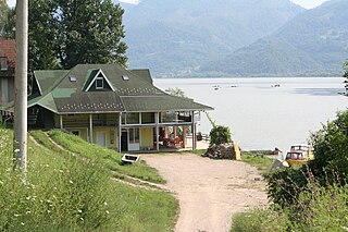
Vrhpolje (Врхпоље) is a village in Serbia. It is in the Municipality of Ljubovija, in the Mačva District of Central Serbia.
Wola Mokrzeska is a village in the administrative district of Gmina Przyrów, within Częstochowa County, Silesian Voivodeship, in southern Poland. It lies approximately 6 kilometres (4 mi) west of Przyrów, 24 km (15 mi) east of Częstochowa, and 71 km (44 mi) north-east of the regional capital Katowice.
Tân Ninh is a commune (xã) and village in Quảng Ninh District, Quảng Bình Province, in Vietnam. This commune is 20 km south of the district capital town, Quan Hau. It has an area of 11.567 km2, population as of 2006 was 5,161 inhabitants. To the south it borders communes of Vạn Ninh and An Ninh, to the southeast it borders Hồng Thủy in district of Lệ Thủy, to the east is communes of Gia Ninh, to the north is commune of Duy Ninh, to the west is commune of Hiền Ninh. The communes contains six villages: Quảng Xá, Hòa Bình, Nguyệt Áng, Thế Lộc, Hữu Tân, and Tân Thành.

Progoreoci is a village in the municipality of Aranđelovac, Serbia. According to the 2002 census, the village has a population of 1015 people.
Stave is a village in the municipality of Krupanj, Serbia. According to the 2002 census, the village has a population of 450 people.

Gornje Nedeljice is a village in the municipality of Loznica, Serbia. According to the 2002 census, the village has a population of 699 people.

Milina is a village in the municipality of Loznica, Serbia. According to the 2002 census, the village has a population of 228 people.
Zajača is a village in the municipality of Loznica, Serbia. According to the 2002 census, the village has a population of 693 people.

Ribarice is a village in the municipality of Loznica, Serbia. According to the 2002 census, the village has a population of 407 people.
Novo Selo is a Village in the municipality of Loznica, Serbia. According to the 2002 census, the town has a population of 1404 people.
Cerova is a village in the municipality of Gornji Milanovac, Serbia. According to the 2002 census, the village has a population of 112 people.
Dragolj is a village in the municipality of Gornji Milanovac, Serbia. According to the 2002 census, the village has a population of 364 people.
Zagrađe is a village in the municipality of Gornji Milanovac, Serbia. According to the 2002 census, the village has a population of 493 people.
Kamenica is a village in the municipality of Valjevo, Serbia. According to the 2002 census, the village has a population of 1005 people.
Kozličić is a village in the municipality of Valjevo, Serbia. According to the 2002 census, the village has a population of 237 people.

