
Portishead is a town and civil parish in the North Somerset unitary authority area, in the county of Somerset, England. With a population of 26,366 at the 2021 Census, the town is located on the Severn Estuary opposite Cardiff and Newport in Wales. The town is 8 miles (13 km) to the west of Bristol and 18 miles northeast of Weston-super-Mare.
The Hoxnian Stage was a middle Pleistocene stage of the geological history of the British Isles. It was an interglacial which preceded the Wolstonian Stage and followed the Anglian Stage. It is equivalent to Marine Isotope Stage 11. Marine Isotope Stage 11 started 424,000 years ago and ended 374,000 years ago. The Hoxnian is divided into sub-stages Ho I to Ho IV. It is likely equivalent to the Holstein Interglacial in Central Europe.

Gordano is an area of North Somerset, in England. It has been designated as a National Nature Reserve.
Weston in Gordano is a village and civil parish in Somerset, England. It is situated in the middle of the Gordano valley on the north side, and in the Unitary Authority of North Somerset, on the road between Clevedon and Portishead. The parish has a population of 301.
Newton St Loe SSSI is a geological Site of Special Scientific Interest (SSSI) close to the River Avon, near the village of Newton St Loe in Bath and North East Somerset. It was notified on September 1992.It is 2.26 hectares in size.

Bourne SSSI, Avon is an 8.47 hectare geological Site of Special Scientific Interest near the village of Burrington, North Somerset, notified in 1992.
Ham Green SSSI is a 1.1 hectare geological Site of Special Scientific Interest near the village of Ham Green, North Somerset, notified in 1990.

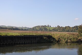
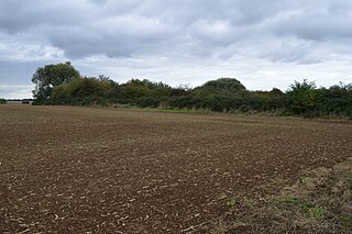
Kenn Church, Kenn Pier & Yew Tree Farm SSSI is a 15.37 hectare geological Site of Special Scientific Interest near the village of Kenn, Somerset, notified in 1997.

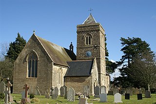
Kenn is a small village and civil parish in the county of Somerset, England. It falls within the area of the North Somerset unitary authority. It lies on the B3133 road near Clevedon in the North Somerset Levels. The parish has a population of 431.

Greylake is a 9.3 hectare geological Site of Special Scientific Interest near Middlezoy in Somerset, notified in 1987.

Hurcott Farm is a 26.3 hectare geological Site of Special Scientific Interest in Somerset, notified in 1993.

Swanscombe Skull Site or Swanscombe Heritage Park is a 3.9-hectare (9.6-acre) geological Site of Special Scientific Interest in Swanscombe, north-west Kent, England. It contains two Geological Conservation Review sites and a National Nature Reserve. The park lies in a former gravel quarry, Barnfield Pit, which is the most important site in the Swanscombe complex, alongside several other nearby pits.
The Sangamonian Stage is the term used in North America to designate the Last Interglacial and depending on definition, part of the early Last Glacial Period, corresponding to Marine Isotope Stage 5. While often historically considered equivalent in scope to MIS 5, it is now often used in a more narrow sense to refer to the Last Interglacial only. It preceded the Wisconsinan (Wisconsin) Stage and followed the Illinoian Stage in North America.

Biddenham Pit is a gravel pit and Site of Special Scientific Interest (SSSI), 0.41 hectares in size located in Biddenham, Bedfordshire. The pit was notified to Bedford Borough Council and Bedfordshire County Council under the Wildlife and Countryside Act (1981) in 1988, and is also a Geological Conservation Review site. The site is owned by Persimmon Homes and Kier Homes, with management advice given by Natural England.

Wansunt Pit is a 1.9-hectare (4.7-acre) geological Site of Special Scientific Interest in Dartford Heath between Crayford in the London Borough of Bexley and Dartford in Kent. It is also a Geological Conservation Review site. It is important geologically because it exposes the Dartford Heath Gravel, and the relationship of this exposure to the Swanscombe sequence and the Thames Terraces is a controversial issue in Thames Pleistocene studies. The site is part of Braeburn Park, a nature reserve managed by the London Wildlife Trust.
Lydney Cliff is a 8.0-hectare (20-acre) geological Site of Special Scientific Interest in Gloucestershire, notified in 1990. Part of the site is included in the Severn Estuary SSSI.

Purfleet Chalk Pits is a 10.7-hectare (26-acre) geological Site of Special Scientific Interest in Purfleet in Essex. It is a Geological Conservation Review site.

Ardleigh Gravel Pit is a 1.2-hectare (3.0-acre) geological Site of Special Scientific Interest south of Ardleigh in Essex. It is a Geological Conservation Review site.

Wivenhoe Gravel Pit is a 2.1-hectare (5.2-acre) geological Site of Special Scientific Interest north of Wivenhoe in Essex. It is a Geological Conservation Review site.
Eye Gravel Pit is a 0.4-hectare (0.99-acre) geological Site of Special Scientific Interest in Eye Green in Cambridgeshire. It is a Geological Conservation Review site, and part of it overlaps Eye Green Local Nature Reserve.

