John White was an Irish surgeon and botanical collector.

The Local Government Act 1972 is an Act of the Parliament of the United Kingdom that reformed local government in England and Wales on 1 April 1974.

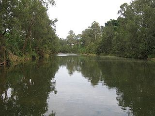
The South Creek or Wianamatta, a creek that is part of the Hawkesbury-Nepean catchment, is located on the Cumberland Plain, also referred to as Greater Western Sydney, New South Wales, Australia.

The Richmond River is a river with a mature wave dominated, barrier estuary, situated in the Northern Rivers region of New South Wales, Australia.
The Geographical Names Board of New South Wales, a statutory authority of the Land and Property Information division, Department of Finance and Services in the Government of New South Wales, is the official body for naming and recording details of places and geographical names in the state of New South Wales, Australia.
The Mooney Mooney Creek, a perennial river that is part of the Hawkesbury-Nepean catchment, is located in the Central Coast region of New South Wales, Australia.

Barrington River, a perennial river of the Manning River catchment, is located in the Upper Hunter district of New South Wales, Australia.

Darbalara is a rural community on the east bank of the junction of the Murrumbidgee River and Tumut River in the Riverina. It is situated by road, about 25 kilometres north east of Gundagai and 25 kilometres south of Coolac.

Gloucester County was one of the original Nineteen Counties in New South Wales, and is now one of the 141 cadastral divisions of New South Wales. It includes the area around Port Stephens. It is bounded on the north and west by the Manning River, and on the south-west by the Williams River.

St Vincent County was one of the original Nineteen Counties in New South Wales and is now one of the 141 Cadastral divisions of New South Wales. It included the south coast area encompassing Batemans Bay, Ulladulla, Jervis Bay and inland to Braidwood. The Shoalhaven River is the boundary to the north and west, and the Deua River the boundary to the south.

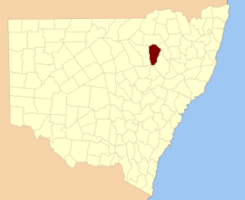
Cowper County, New South Wales is one of the 141 Cadastral divisions of New South Wales.

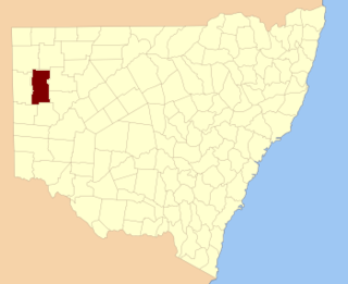
Mootwingee County, New South Wales is one of the 141 Cadastral divisions of New South Wales.

Kemblawarra is a residential, commercial and light industrial area of Wollongong, New South Wales, Australia. It is officially designated an urban place, and comprises the southern part of Port Kembla.

Genoa River is a perennial river located in the Monaro region of New South Wales and flows into the East Gippsland region of Victoria in Australia. It used to be known as Bondi Creek or Yard Creek. The river's name derives from the First People "jinoor" ("footpath").

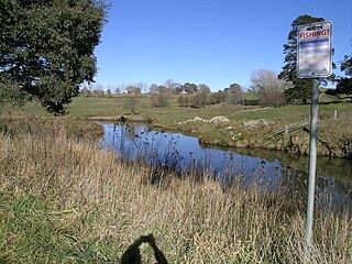
Tia River, a perennial stream of the Macleay River catchment, is located in the Northern Tablelands district of New South Wales, Australia.
The Wog Wog River is a perennial river of the Towamba River catchment, located in the South Coast region of New South Wales, Australia.

Grundy Mountain or Mount Grundy, a mountain of the Great Dividing Range, is located on the Northern Tablelands of New South Wales, Australia.
White Rock River, a perennial river of the Genoa River catchment, is located in the Monaro region of New South Wales, Australia.

Currawang is a locality in the Queanbeyan–Palerang Regional Council, on the edges of Upper Lachlan Shire and Goulburn-Mulwaree Council, in New South Wales, Australia. It is located to the north of Lake George. It shares its name with the Currawang Parish of Argyle County, in which it is located. This was formerly known as the parish of Currowang. Both names derive from an Aboriginal word for the spearwood tree.

Blowering, New South wales is a rural locality in the Snowy Mountains of New South wales and a civil Parish of Buccleuch County.


