This article needs additional citations for verification .(August 2018) |
| Yanamax | |
|---|---|
 Yanamax  Yanamax | |
| Highest point | |
| Elevation | 6,357 m (20,856 ft) [1] |
| Prominence | 1,702 m (5,584 ft) [1] |
| Isolation | 7.49 km (4.65 mi) [1] |
| Coordinates | 42°17′06″N81°02′36.5″E / 42.28500°N 81.043472°E [2] |
| Geography | |
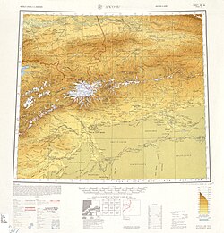
| Country | China |
| Region | Xinjiang |
| Parent range | Tian Shan |
| Climbing | |
| First ascent | August 2008 by Guy McKinnon and Bruce Normand [3] |
Yanamax is a mountain in the Tian Shan system of mountain ranges in the Xinjiang region of China. Its peak altitude is listed in the American Alpine Club at 6332m, [3] and other sources at 6357m [1] and Google Earth at 6229m. [2]
Contents
The first ascent of Yanamax was completed in August 2008 by Guy McKinnon and Bruce Normand. [3]