Related Research Articles

Germantown is an unincorporated community in northern Liberty Township, Washington County, Ohio, United States. It lies along the Paw Paw Creek near the boundary with Noble County.

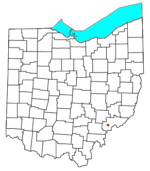
Wingett Run is an unincorporated community in western Ludlow Township, Washington County, Ohio, United States. It has a post office with the ZIP code 45789. It is located along State Route 26 and the Little Muskingum River.

Cutler is an unincorporated community in southwestern Fairfield Township, Washington County, Ohio, United States. It has a post office with the ZIP code 45724. It lies at the intersection of State Route 555 and County Road 59 near Gilbert Run, a subsidiary of the Little Hocking River, which meets the Ohio River at Little Hocking to the southeast.
Barlow is an unincorporated community in western Barlow Township, Washington County, Ohio, United States. Although it is unincorporated, it has a ZIP code 45712. It lies at the intersection of State Routes 339 and 550 near the South Fork of Wolf Creek, which meets the Muskingum River at Waterford to the north.
Churchtown is an unincorporated community in Washington County, in the U.S. state of Ohio.
Archers Fork is a stream located entirely within Washington County, Ohio. It is a tributary of the Little Muskingum River, which it enters near the community of Dart.
Stanleyville is an unincorporated community in Washington County, in the U.S. state of Ohio.
Bloomfield is an unincorporated community in Washington County, in the U.S. state of Ohio.
Bonn is an unincorporated community in Washington County, in the U.S. state of Ohio.
Decaturville is an unincorporated community in Washington County, in the U.S. state of Ohio.
Dunbar is an unincorporated community in Washington County, in the U.S. state of Ohio.
Dunham is an unincorporated community in Washington County, in the U.S. state of Ohio.
Lower Newport is an unincorporated community in Washington County, in the U.S. state of Ohio.
Luke Chute is an unincorporated community in Washington County, in the U.S. state of Ohio.
Newell Run is an unincorporated community in Washington County, in the U.S. state of Ohio.
Patten Mills is an unincorporated community in Washington County, in the U.S. state of Ohio.
Rainbow is an unincorporated community in Washington County, in the U.S. state of Ohio.

Warner is an unincorporated community in Washington County, in the U.S. state of Ohio.
Cady Run is a stream in the U.S. state of Ohio. It is a tributary to Archers Fork.
Coal Run is a stream in the U.S. state of Ohio. It is a tributary to Archers Fork.
References
- ↑ U.S. Geological Survey Geographic Names Information System: Archers Fork, Ohio
- ↑ History of Washington County, Ohio: With Illustrations and Biographical Sketches. H.Z. Williams. 1881. p. 695.
- ↑ History of Washington County, Ohio: With Illustrations and Biographical Sketches. H.Z. Williams. 1881. p. 696.
- ↑ History of Washington County, Ohio: With Illustrations and Biographical Sketches. H.Z. Williams. 1881. p. 696.
- ↑ History of Washington County, Ohio: With Illustrations and Biographical Sketches. H.Z. Williams. 1881. p. 697.
- ↑ "Washington County". Jim Forte Postal History. Retrieved December 29, 2015.
- ↑ "Hiking and Backpacking Trails" . Retrieved November 11, 2020.
Municipalities and communities of Washington County, Ohio, United States | ||
|---|---|---|
| Cities |  | |
| Villages | ||
| Townships | ||
| CDPs | ||
| Unincorporated communities |
| |