This page is based on this
Wikipedia article Text is available under the
CC BY-SA 4.0 license; additional terms may apply.
Images, videos and audio are available under their respective licenses.

The Royal Marsden NHS Foundation Trust is an NHS Foundation Trust which operates the Royal Marsden Hospital facilities on two sites:
Shuswap Lake Marine Provincial Park is an 896-hectare provincial park in British Columbia, Canada, comprising 991 ha. The Park has a variety of amenities including boat launch ramps, picnic areas, and 27 campsites around the perimeter of Shuswap Lake. The lake's name and that of the surrounding Shuswap Country is from the Shuswap people (Secwepemc), the most northern of the Salishan speaking people.
Baverstock Juniper Bank is a 2.6 hectare Biological Site of Special Scientific Interest to the north of the village of Baverstock in Wiltshire, England. The site was notified in 1971.
Bencroft Hill Meadows is a 5.1 hectare biological Site of Special Scientific Interest some 3 miles (5 km) to the east of the town of Chippenham in Wiltshire, England, notified in 1988.
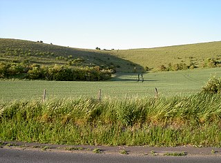
Scratchbury & Cotley Hills SSSI is a 53.5 hectare biological Site of Special Scientific Interest at Norton Bavant in Wiltshire, notified in 1951. The Iron Age hillfort of Scratchbury Camp occupies the summit of the hill.
Winsley Mines is a 1.48 hectare biological Site of Special Scientific Interest, near the village of Winsley in Wiltshire, notified in 1989.
Bradley Woods is an area of woodland in Wiltshire, south of Longleat Woods and north of Gare Hill.
Little Grubbins Meadow is a 3.0 hectare biological Site of Special Scientific Interest in Wiltshire, England, notified in 1975.
Sutton Lane Meadows is a 3.44 hectare biological Site of Special Scientific Interest in Wiltshire, notified in 1988.
Cloatley Manor Farm Meadows is a 12.1 hectare biological Site of Special Scientific Interest in Wiltshire, notified in 1997.

Starveall and Stony Down is a 22.5 hectare biological Site of Special Scientific Interest in the parishes of Codford and Wylye, Wiltshire, notified in 1971.
Honeybrook Farm is a 42.41 hectare biological Site of Special Scientific Interest near Corsham in Wiltshire, England.
Midford Valley Woods is a 60-acre (24.6-hectare) biological Site of Special Scientific Interest between Midford and Limpley Stoke in Wiltshire, England, notified in 1975.
Rack Hill is a 10.6 hectare biological Site of Special Scientific Interest in Wiltshire, notified in 1975.
Harries Ground, Rodbourne is a 6.87 hectare biological Site of Special Scientific Interest in Wiltshire, notified in 2003.
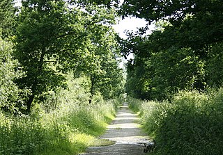
Colerne Park and Monk's Wood is a 53.7 hectare biological Site of Special Scientific Interest in Wiltshire, notified in 1951.
Picket and Clanger Wood is a 66.4 hectare biological Site of Special Scientific Interest in Wiltshire, England, and lies off the A350 national route between the villages of Yarnbrook and Heywood.
The Kennet and Lambourn Floodplain is a 22.9 hectare biological Site of Special Scientific Interest in Berkshire and Wiltshire, England, notified in 1996. It comprises seven separate small areas, four in the Kennet Valley and three in the Lambourn Valley. The areas included in the site support particularly large populations of Desmoulin's whorl snail.
Inwood, Warleigh is a 56.9 hectare biological Site of Special Scientific Interest in Wiltshire, notified in 1988.

The Cheshire Cheese is a public house at 5 Little Essex Street, London WC2, on the corner with Milford Lane.


