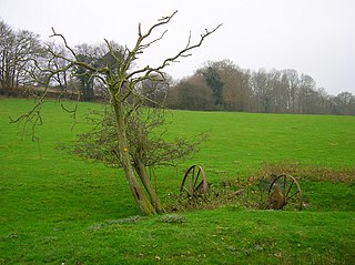
Leasam Heronry Wood is a 2.1-hectare (5.2-acre) biological Site of Special Scientific Interest north-west of Rye in East Sussex.

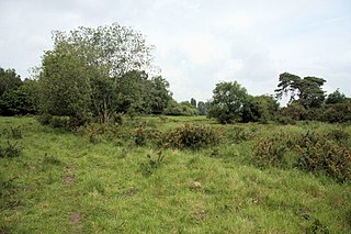
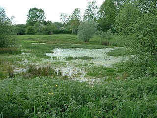
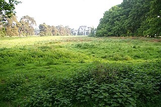
Thompson Water, Carr and Common is a 154.7-hectare (382-acre) biological Site of Special Scientific Interest north of Thetford in Norfolk. Most of it is managed by the Norfolk Wildlife Trust as Thompson Common. It is a Nature Conservation Review site, Grade I, and part of the Norfolk Valley Fens Special Area of Conservation. It is crossed by the Great Eastern Pingo Trail Local Nature Reserve.

Weeting Heath is a 141.8-hectare (350-acre) biological Site of Special Scientific Interest west of Thetford in Norfolk, which is managed by the Norfolk Wildlife Trust. It is a Nature Conservation Review site, Grade I, and a National Nature Reserve. It is also part of the Breckland Special Area of Conservation and Special Protection Area.
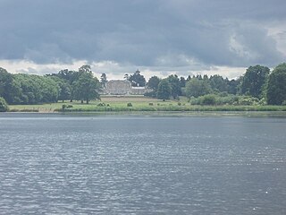
Southill Lake and Woods is 25.3 hectare biological Site of Special Scientific Interest in Southill in Bedfordshire. It is part of Southill Park, which was designed by Capability Brown, and is registered by English Heritage for its special historic interest, and is the garden of a house of the same name.

Briery Wood Heronry is a 5.7 hectare biological Site of Special Scientific Interest in the grounds of Belvoir Castle in Leicestershire.

Northward Hill is a 52.5-hectare (130-acre) biological Site of Special Scientific Interest Kent. It is a Nature Conservation Review site, Grade 2, and is also designated High Halstow National Nature Reserve The site is managed by the Royal Society for the Protection of Birds.

Wiggenhall St Germans SSSI is a 5.2-hectare (13-acre) geological Site of Special Scientific Interest south of King's Lynn in Norfolk. It is a Geological Conservation Review site.
Setchey SSSI is a 33.4-hectare (83-acre) geological Site of Special Scientific Interest south of King's Lynn in Norfolk. It is a Geological Conservation Review site.

Blackborough End Pit is a 13.2-hectare (33-acre) geological Site of Special Scientific Interest south-east of King's Lynn in Norfolk. It is a Geological Conservation Review site.

Islington Heronry is a 1.3-hectare (3.2-acre) biological Site of Special Scientific Interest south-west of King's Lynn Norfolk.

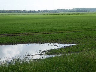
Beetley and Hoe Meadows is an 11.4-hectare (28-acre) biological Site of Special Scientific Interest north of Dereham in Norfolk, United Kingdom. The site is in two nearby areas, and Hoe Meadow is part of Hoe Rough nature reserve, which is managed by the Norfolk Wildlife Trust
Cranwich Camp is a 13.1-hectare (32-acre) biological Site of Special Scientific Interest north-west of Thetford in Norfolk. It is part of the Breckland Special Area of Conservation and Special Protection Area.
East Harling Common is a 15.1-hectare (37-acre) biological Site of Special Scientific Interest east of Thetford in Norfolk.
East Walton and Adcock's Common is a 62.4-hectare (154-acre) biological and geological Site of Special Scientific Interest south-east of King's Lynn in Norfolk. It is a Geological Conservation Review site and part of Norfolk Valley Fens Special Area of Conservation

Stiffkey Valley is a 44.4-hectare (110-acre) biological Site of Special Scientific Interest east of Wells-next-the-Sea in Norfolk. It is in the Norfolk Coast Area of Outstanding Natural Beauty.

Wells Chalk Pit is a 4-hectare (9.9-acre) biological and geological Site of Special Scientific Interest on the eastern outskirts of Wells-next-the-Sea in Norfolk. It is a Geological Conservation Review site, and it is in the Norfolk Coast Area of Outstanding Natural Beauty.

Horse Wood, Mileham is a 7.1-hectare (18-acre) biological Site of Special Scientific Interest north-west of Dereham in Norfolk.

Hunstanton Cliffs is a 4.6-hectare (11-acre) biological and geological Site of Special Scientific Interest in Hunstanton in Norfolk. It is a Geological Conservation Review site.
Stanford Training Area SSSI is part of the British Army Stanford Training Area. It is a 4,678-hectare (11,560-acre) biological and geological Site of Special Scientific Interest north of Thetford in Norfolk. It is a Nature Conservation Review site and part of it is a Geological Conservation Review site. It is also part of the Breckland Special Area of Conservation and Special Protection Area.

Thetford Golf Course and Marsh is a 122.3-hectare (302-acre) biological Site of Special Scientific Interest on the western outskirts of Thetford in Norfolk. It is a Nature Conservation Review site, Grade 2, and part of the Breckland Special Area of Conservation and Special Protection Area.
