Bugiri District is a district in Eastern Uganda. Like most other Ugandan districts, it is named after its 'chief town', Bugiri, where the district headquarters are located.

Kamuli District is a district in the Eastern Region of Uganda. The town of Kamuli is the site of the district headquarters.

Mayuge District is a district in Eastern Uganda. Like many other Ugandan districts, it is named after its 'chief town', Mayuge, where the district headquarters are located.
Jinja District is a district in the Eastern Region of Uganda. The town of Jinja is the district's main municipal and commercial center.
Bugiri is a town in the Eastern Region of Uganda. It is the chief town of Bugiri District, and the district headquarters are located there. The town was elevated to Municipal Council status in 2019.

Iganga is a town in the Eastern Region of Uganda. It is the main municipal, administrative, and commercial center of Iganga District.
Mayuge is a town in the Eastern Region of Uganda. It is the location of the headquarters of Mayuge District.
Kaliro District is a district in the Eastern Region of Uganda. It was created out of the eastern part of Kamuli District in 2006. Kaliro is the site of the district headquarters.
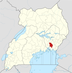
Bugembe is a town in Jinja District in the Eastern Region of Uganda. It is the seat of the Kingdom of Busoga, one of the four constitutional in Uganda, which is coterminous with the Busoga sub-region.
Kaliro is a town in the Eastern Region of Uganda. It is the main municipal, administrative, and commercial center of Kaliro District and the site of the district headquarters.

Namutumba District, sometimes referred to as Busiki District is a district in Eastern Uganda. It is named after its 'chief town', Namutumba, where the district headquarters are located.
Namutumba is a town in the Namutumba District of the Eastern Region of Uganda. It is the main municipal, administrative, and commercial centre of the district.
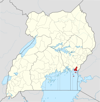
Busembatya, sometimes spelled Busembatia, is a town in the Eastern Region of Uganda.
Busoga University (BU), is a private university in Uganda, affiliated with Central Busoga Diocese of the Church of Uganda.

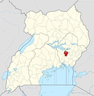
Buyende District is a district in Eastern Uganda. It is named after Buyende, the 'chief town' in the district and the location of the district headquarters.
Namayingo District is a district in Eastern Uganda. The district is named after its 'chief town', Namayingo, where the district headquarters are located.
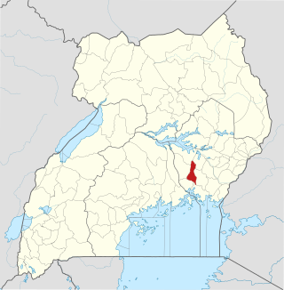
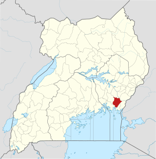
Luuka District is a district in Eastern Uganda.
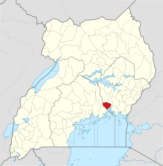
Luuka Town, also known as Luuka Municipality, but often referred to simply as Luuka, is a town in Eastern Uganda. Prior to 1 July 2010, Luuka Town was known as "Kiyunga". It is the principal political, administrative and commercial center of Luuka District.
Busoga sub-region is found in Eastern Uganda occupying an area of over 10,000 square kilometers and according to the 2014 national census about 40 percent of the people in the eastern region live in this sub-region.
The Jinja–Iganga–Bugiri–Tororo Road is a road in the Eastern Region of Uganda, connecting the towns of Jinja and Tororo. Sometimes referred to as Tororo–Jinja Road, it is a busy transport corridor, connecting traffic from neighboring Kenya, and northeastern Uganda to Jinja, a major commercial and industrial center, and ultimately to Kampala, the country's capital, and beyond.