Related Research Articles

Lehigh County is a county in the Commonwealth of Pennsylvania. As of the 2020 census, the county's population was 374,557. Its county seat is Allentown, the state's third-largest city after Philadelphia and Pittsburgh.

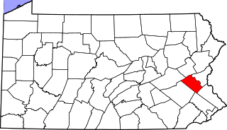
Carbon County is a county in the Commonwealth of Pennsylvania. As of the 2020 census, the population was 64,749. The county is part of the Northeast Pennsylvania region of the state.

Salisbury Township is a township in Lehigh County, Pennsylvania, United States. The township's population was 13,621 at the 2020 census. The township borders Allentown, Pennsylvania's third-largest city, Bethlehem, and Emmaus, in the Lehigh Valley, which had a population of 861,899 and was the 68th-most populous metropolitan area in the U.S. as of the 2020 census.

Schnecksville is an unincorporated community and census-designated place (CDP) in North Whitehall Township in Lehigh County, Pennsylvania. The population of Schnecksville was 2,935 at the 2010 census.

Upper Saucon Township is a township in Lehigh County, Pennsylvania, United States. It is part of the Lehigh Valley metropolitan area, which had a population of 861,899 and was the 68th-most populous metropolitan area in the U.S. as of the 2020 census. The township had a population of 16,973 as of the 2020 census.

Hellertown is a borough in Northampton County, Pennsylvania. Its population was 6,131 at the 2020 census. Hellertown is part of the Lehigh Valley metropolitan area, which had a population of 861,899 and was the 68th-most populous metropolitan area in the U.S. as of 2020.

The Lehigh Valley is a geographic and metropolitan region formed by the Lehigh River in Lehigh and Northampton counties in eastern Pennsylvania. It is a component valley of the Great Appalachian Valley bounded to its north by Blue Mountain, to its south by South Mountain, to its west by Lebanon Valley, and to its east by the Delaware River and Warren County, New Jersey. The Lehigh Valley is about 40 miles (64 km) long and 20 miles (32 km) wide. The Lehigh Valley's largest city is Allentown, the third-largest city in Pennsylvania and the county seat of Lehigh County, with a population of 125,845 residents as of the 2020 census.
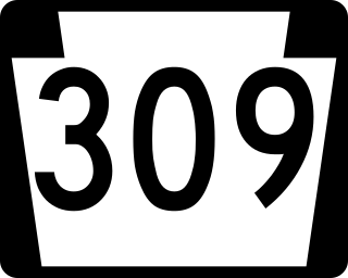
Pennsylvania Route 309 is a state highway that runs for 134 miles (216 km) through eastern Pennsylvania. The route runs from an interchange between PA 611 and Cheltenham Avenue on the border of Philadelphia and Cheltenham Township north to an intersection with PA 29 in Bowman Creek, a village in Monroe Township in Wyoming County. The highway connects Philadelphia and its northern suburbs to Allentown and the Lehigh Valley, and Hazleton and Wilkes-Barre in Wyoming Valley.
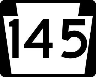
Pennsylvania Route 145 is a 20.89 mi (33.62 km) long north–south state highway in the Lehigh Valley area of eastern Pennsylvania. It connects Interstate 78 (I-78) and PA 309 in Lanark, Lehigh County, north to PA 248 in Lehigh Gap, Northampton County.

Pennsylvania Route 222 is a 4.482 mi (7.213 km)-long state highway located in Allentown and its surrounding suburbs in the Lehigh Valley region in eastern Pennsylvania.
Cedar Crest Boulevard, colloquially known as Cedar Crest and The Boulevard, is a major north-south highway in Lehigh County, Pennsylvania in the Lehigh Valley region of eastern Pennsylvania. South of Interstate 78 (I-78), the road is part of Pennsylvania Route 29. North of it, the road becomes State Route 1019.

Pennsylvania Route 378 (PA 378) is a north-to-south road in Lehigh and Northampton counties in the Lehigh Valley region of the U.S. state of Pennsylvania. The southern terminus is at PA 309 in Center Valley. Its northern terminus is at U.S. Route 22 (US 22) in Bethlehem. The route heads north from PA 309 as a two-lane undivided road through Upper Saucon Township and Lower Saucon Township before crossing South Mountain into Bethlehem. Here, PA 378 follows city streets through Bethlehem's South Side, intersecting the northern terminus of PA 412. The route becomes a four-lane freeway and crosses the Lehigh River before continuing north to US 22. PA 378 is the only highway from US 22 to Center City Bethlehem, and a quick route for visitors traveling to the Wind Creek Bethlehem casino resort on the city's South Side.

Center Valley is an unincorporated community located one mile north of Coopersburg, at the intersection of Pennsylvania State Routes 309 and 378 in Upper Saucon Township in Lehigh County, Pennsylvania. It is part of the Lehigh Valley, which had a population of 861,899 and was the 68th-most populous metropolitan area in the U.S. as of the 2020 census.
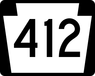
Pennsylvania Route 412 is a 17.75-mile-long (28.57 km) north–south state route located in Bucks and Northampton counties in southeastern Pennsylvania. Its southern terminus is at PA 611 in the Nockamixon Township community of Harrow. Its northern terminus is at PA 378 in Bethlehem.
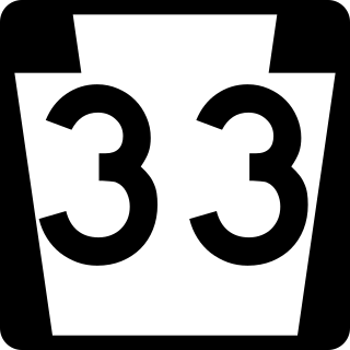
Pennsylvania Route 33 is a 27.7-mile-long (44.6 km) freeway in eastern Pennsylvania. The highway runs from its interchange with Interstate 78 (I-78) south of Easton in the Lehigh Valley to I-80 and PA 611 west of Stroudsburg.

U.S. Route 22 (US 22) is an east–west United States Numbered Highway that stretches from Cincinnati, Ohio, in the west, to Newark, New Jersey, in the east. In Pennsylvania, the route runs for 338.20 miles (544.28 km) between the West Virginia state line in Washington County, where it is a freeway through the western suburbs of Pittsburgh, and then runs east to Easton and the Pennsylvania–New Jersey state line in the Lehigh Valley region of eastern Pennsylvania.
Summit Lawn is a small unincorporated village that is located in Lehigh County, Pennsylvania. It is part of the Lehigh Valley, which has a population of 861,899 and is the 68th-most populous metropolitan area in the U.S. as of the 2020 census.
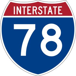
Interstate 78 (I-78) is a major east–west Interstate Highway stretching from Union Township, Lebanon County, Pennsylvania, in the west to the Holland Tunnel and New York City in the east. In Pennsylvania, I-78 runs for about 78 miles (126 km) from the western terminus at I-81 in Union Township east to the New Jersey state line near Easton in Northampton County.
Locust Valley was a village located in the southeastern corner of Lehigh County, Pennsylvania, United States. The village is located at the southern end of Upper Saucon Township. It is part of the Lehigh Valley, which has a population of 861,899 and is the 68th-most populous metropolitan area in the U.S. as of the 2020 census.
Colesville is a suburban village located on Route 378 in Upper Saucon Township in Lehigh County and Lower Saucon Township in Northampton County, Pennsylvania. Colesville is part of the Lehigh Valley, which had a population of 861,899 and was the 68th-most populous metropolitan area in the U.S. as of the 2020 census.
References
- 1 2 Street Map Book of Greater Lehigh Valley, Pennsylvania. Alexandria Drafting Company. 2005. pp. 78–79.
- ↑ Espenshade, A. Howry (1925). Pennsylvania place names. Pennsylvania state college studies in history and political science,no. 1College series. State College, PA: The Pennsylvania State College. p. 245.
40°33′06″N75°25′58″W / 40.55167°N 75.43278°W
Places adjacent to Lanark, Pennsylvania | |
|---|---|
Municipalities and communities of Lehigh County, Pennsylvania, United States | ||
|---|---|---|
| Region |  | |
| Cities | ||
| Boroughs | ||
| Townships | ||
| CDPs | ||
| Unincorporated communities |
| |
| Notable people | ||
| Culture | ||
| Footnotes | ‡This populated place also has portions in an adjacent county or counties | |
| | This Lehigh County, Pennsylvania state location article is a stub. You can help Wikipedia by expanding it. |