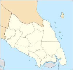
The Batu Pahat District is a district in the state of Johor, Malaysia. It lies southeast of Muar, southwest of Kluang, northwest of Pontian, south of Segamat and Tangkak District. The capital of the district is Bandar Penggaram.

The Johor Bahru District is a district located in the southern part of Johor, Malaysia. The heavily suburban/suburbanizing district covers an area of 1,063.97 km2 (410.80 sq mi) and has a population of 1.71 million. The district capital is Johor Bahru City and the administrative capital is Iskandar Puteri City. The district borders Pontian District on the west, Kota Tinggi District on the east, Kulai District on the north and Straits of Johor to the south. The urban centres are divided into the cities of Johor Bahru, Iskandar Puteri and Pasir Gudang.
Johor Bahru, Malaysia, has the following notable landmarks.
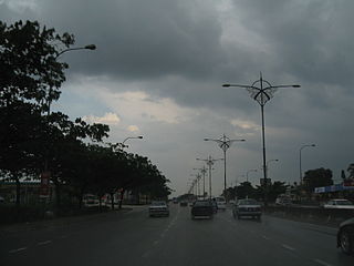
Skudai is a town in Johor, Malaysia. It is about 13 km northwest from Johor Bahru's central business district.
Taman Universiti is a suburb in Iskandar Puteri, Johor Bahru District, Johor, Malaysia. It is located between Skudai and Pulai.
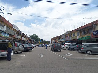
Ulu Tiram is a suburb in Johor Bahru, Johor, Malaysia. The town lies along the Tebrau Highway, a section of Malaysia Federal Route 3, a major trunk road on Peninsular Malaysia's east coast that connects Ulu Tiram with major towns and cities such as Mersing, Kuantan and Kota Bharu.

Masai is an area in Pasir Gudang, Johor Bahru District, Johor, Malaysia, and is the oldest neighbourhood of the city of Johor Bahru. It is located 25 km (15.53 mi) from the Johor Bahru city centre. Masai is located on Jalan Masai Lama which leads to Kong Kong, a fishing village along Johor River. It is also accessible via the Pasir Gudang Highway.

Mutiara Rini is a housing area and suburb in Skudai, Johor, Malaysia. It is developed by Mutiara Rini Sdn Bhd, a subsidiary of the military-linked Boustead Group.
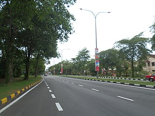
Taman Daya is a suburb in Johor Bahru, Johor, Malaysia. Its main road is Jalan Daya.

Puchong is a major town and a parliamentary constituency in Petaling District, Selangor, Malaysia.
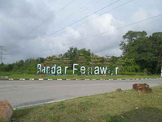
Bandar Penawar is a town in Desaru, Pengerang PBT, Kota Tinggi District, Johor, Malaysia.

Perling is a neighbourhood and an upcoming state constituency in Pulai, Iskandar Puteri, Johor Bahru District, Johor, Malaysia. A development project of the company Pelangi Berhad in 1981, it covers 922 acres (3.73 km2) and contains close to 10,000 housing units. The main landmark of the housing area is Perling Mall, which has 2 floors of almost 100 shops. It is located twenty minutes from Johor Bahru. The iconic building at Taman Perling is Pangsapuri MIDAS with its black and white colours at the peak hill of Taman Perling.

Bandar Baru UDA is a suburb in Johor Bahru, Johor, Malaysia. It mainly consists of four phases where this townships has developed well and strategically located in the middle of Johor Bahru Town and transportation. The main population of this town is Malay.

SMK Bandar Baru UDA or Sekolah Menengah Kebangsaan Bandar Baru UDA is the main secondary school in Bandar Baru UDA, Johor Bahru, Johor, Malaysia. The school is located near Masjid Jamek Bandar Baru UDA. This school is one of the most prestigious school in Malaysia

Taman Ungku Tun Aminah is a suburb in Skudai, Iskandar Puteri, Johor Bahru District, Johor, Malaysia. It was erected in the 1980s and is named after Sultanah Tun Aminah.
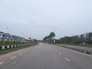
Bandar Seri Alam is a township in Mukim Plentong, Johor Bahru District, Johor, Malaysia. It is an initiative by Seri Alam Properties Sdn Bhd, a subsidiary of United Malayan Land Bhd. The township covers approximately 15 square kilometers and houses an ecology educational facilities from school age to campuses of some universities.

Tebrau or Teberau is a mukim and a town in Johor Bahru District, Johor, Malaysia. It is the third largest mukim in the district.
Bandar Nusa Bayu or Nusa Bayu, is a township in Iskandar Puteri, Johor Bahru District, Johor, Malaysia. The township is bordered by Setia Eco Gardens and Jelutong Hills forest to the north, Second Link Expressway to the west, Nusajaya Southern Industry Logistic Center (SILC) to the south, and GP Prima Transport Hub to the east. The township is part of the Iskandar Malaysia Flagship B and the Iskandar Puteri Master Plan. Formerly in the Nusajaya Master Plan, Nusa Bayu was known as Nusajaya Industrial Park, together with SILC. The development commenced in 2010 and began to be occupied since 2013 onward.

