Labis | |
|---|---|
 | |
 Coat of arms | |
| Motto(s): Berkhidmat untuk Rakyat "Serve the People" (motto of Labis District Council) | |
 | |
 Labis  Labis | |
| Coordinates: 2°22′55″N103°01′12″E / 2.38194°N 103.02000°E | |
| Country | |
| State | |
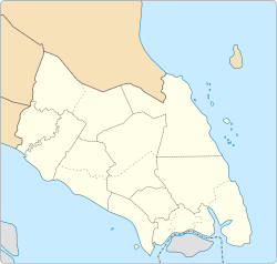
| District | Segamat |
| Government | |
| • Type | Local government |
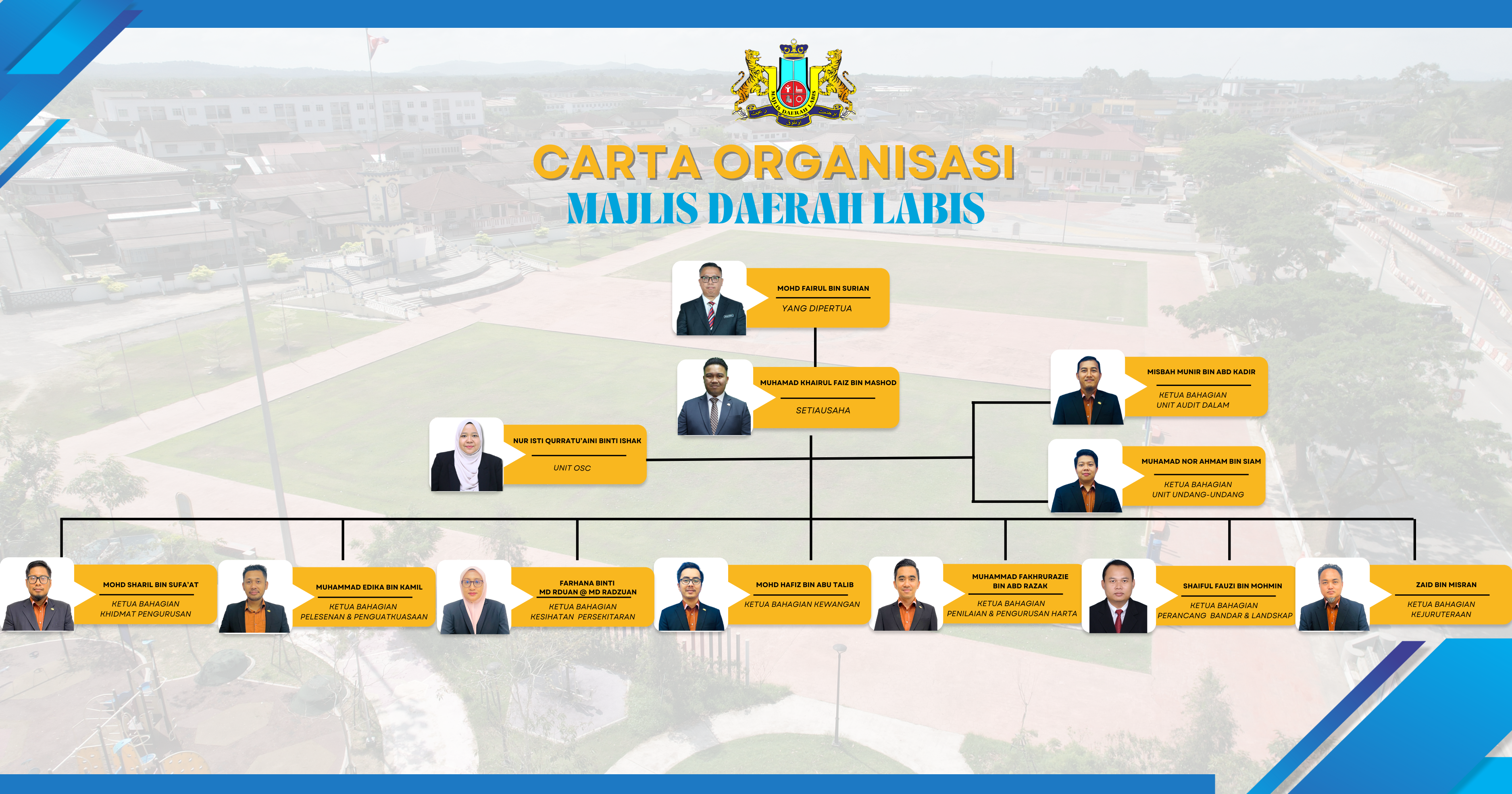
| • Body | Labis District Council |
| • President | Mohd Fairul Surian (since 1 July 2025) |
| Area | |
• Total | 422 km2 (163 sq mi) |
| Population (2010) | |
• Total | 36,053 |
| • Density | 85.4/km2 (221/sq mi) |
| Website | mdlabis |
Labis District Council Majlis Daerah Labis | |
|---|---|
 Emblem | |
| Type | |
| Type | |
| History | |
| Founded | 1 January 1977 |
| Preceded by | Segamat South District Council |
| Leadership | |
President | Mohd Fairul Surian (since 1 July 2025) |
Secretary | Muhamad Khairul Faiz Mashod |
| Structure | |
| Seats | 24 |
Political groups | Councillors: |
Length of term | 1 April 2024–31 December 2025 |
| Motto | |
| Berkhidmat untuk Rakyat (Serve the People) | |
| Meeting place | |
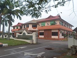 | |
| Majlis Daerah Labis 85300 Labis, Segamat, Johor Darul Ta'zim | |
| Website | |
| www | |
Labis is a town and a mukim (township) in Segamat District in northern Johor, Malaysia. A main trunk road that runs north-south Peninsular Malaysia passes through it, as well as the KTM railway line that connects it with the state's capital in the south, Johor Bahru. [1]


