
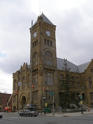
Adams County lies in northeastern Indiana in the United States and shares its eastern border with Ohio. It was officially established in 1836. The county seat is Decatur.
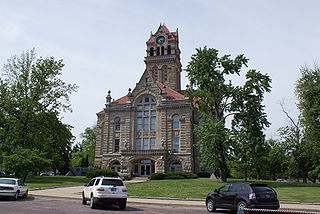
Wells County is a county in the U.S. state of Indiana. As of the 2020 United States Census, the population was 28,180. The county seat is Bluffton.
Starke County is a county in the U.S. state of Indiana. As of the 2020 United States Census, its population was 23,371. The county seat is Knox.
Marshall County is a county in the U.S. state of Indiana. The 2020 census recorded the population at 46,095. The county seat is Plymouth.

Marion County is located in the U.S. state of Indiana. The 2020 United States census reported a population of 977,203, making it the most populous county in the state and 51st most populated county in the country. Indianapolis is the county seat, the state capital, and most populous city. Marion County is consolidated with Indianapolis through an arrangement known as Unigov.

LaPorte County is a county located in the U.S. state of Indiana. As of 2020, the population was 112,417. The county seat is the city of La Porte, and the largest city is Michigan City. This county is part of the Northwest Indiana and Michiana regions of the Chicago metropolitan area. The LaPorte County Courthouse is located in the county seat of La Porte and is listed on the National Register of Historic Places.

Jay County is a county in the U.S. state of Indiana. As of 2020, the population was 20,478. The county seat is Portland.

Jasper County is a county located in the U.S. state of Indiana. As of 2020, the population was 32,918. The county seat is Rensselaer.

Hamilton County is a county in the U.S. state of Indiana. The 2020 United States Census recorded a population of 347,467. The county seat is Noblesville.

Delaware County is a county in the east central portion of the U.S. state of Indiana. As of 2020, the population was 111,903. The county seat is Muncie.

New Haven is a city in Adams, Jefferson, and St. Joseph townships, Allen County, Indiana, United States. It sits to the east of the city of Fort Wayne, the second largest city in Indiana, and is situated mostly along the southern banks of the Maumee River. The population was 15,843 as of 2022.
Bluffton is a city in Harrison and Lancaster townships, Wells County, in the U.S. state of Indiana. The population was 10,308 at the 2020 census, up from 9,897 at the 2010 census. The city is the county seat of Wells County and is the largest settlement.
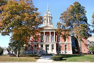
Monticello is a city in Union Township, White County, Indiana, United States. The city is the county seat of White County. The population was 5,508 at the 2020 census.

Blooming Grove is a town in Orange County, New York, United States. The population was 18,811 at the 2020 census. It is located in the central part of the county, southwest of Newburgh.
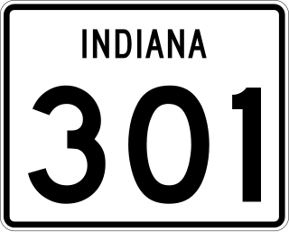
State Road 301 in the U.S. state of Indiana is a short north–south route in Wells County in the northeastern part of the state.

Jefferson Township is one of twenty townships in Allen County, Indiana, United States. As of the 2010 census, its population was 2,109. Jefferson Township was organized in 1840.

Lancaster Township is one of nine townships in Wells County, Indiana, United States. As of the 2010 census, its population was 5,705 and it contained 2,570 housing units.

Indiana is a U.S. state in the Midwestern United States. It is the 38th-largest by area and the 17th-most populous of the 50 States. Its capital and largest city is Indianapolis. Indiana was admitted to the United States as the 19th state on December 11, 1816. It is bordered by Lake Michigan to the northwest, Michigan to the north and northeast, Ohio to the east, the Ohio River and Kentucky to the south and southeast, and the Wabash River and Illinois to the west.

Craigville Depot is a historic train station located in Jefferson Township, Allen County, Indiana, USA. It was built in 1879 and is a one-story, wood-frame building, measuring 16 feet wide, 32 feet long and 16 feet 6 inches high. The gable roof has a four-foot overhang and elaborate Stick Style / Eastlake movement ornamentation. The building was moved from its original location in 1950 and again in 1979. It was restored by Edward Byer who was the owner of the New Haven and Lake Erie Railroad.


