
Clay County is a county located in the U.S. state of Indiana. As of 2020, the population was 26,466. The county seat is Brazil.
Raccoon Township is one of thirteen townships in Parke County, Indiana, United States. At the 2020 census, its population was 689 and it had 341 housing units.

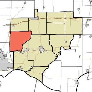
Sugar Creek Township is one of thirteen townships in Parke County, Indiana, United States. As of the 2020 census, its population was 308 and it contained 139 housing units. The township includes the north half of Turkey Run State Park.

Wabash Township is one of thirteen townships in Parke County, Indiana, United States. As of the 2020 census, its population was 768 and it contained 325 housing units.

Brown Township is one of eleven townships in Montgomery County, Indiana, United States. As of the 2020 census, its population was 1,617 and it contained 705 housing units.
Ripley Township is one of eleven townships in Montgomery County, Indiana, United States. As of the 2020 census, its population was 936 and it contained 417 housing units.

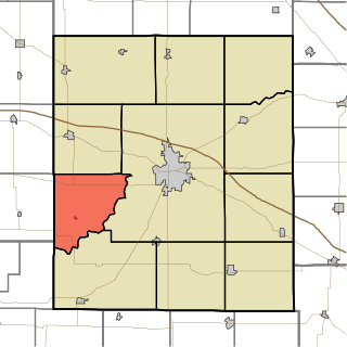
Marion Township is one of thirteen townships in Owen County, Indiana, United States. As of the 2020 census, its population was 922 and it contained 413 housing units.

Washington Township is one of thirteen townships in Putnam County, Indiana. As of the 2020 census, its population was 2,488 and it contained 1,071 housing units.

Hamilton Township is one of nine townships in Sullivan County, Indiana, United States. As of the 2020 census, its population was 7,143 and it contained 3,404 housing units.
Campbell Township is one of ten townships in Warrick County, Indiana, United States. As of the 2010 census, its population was 906 and it contained 353 housing units.

Grange Corner is an unincorporated community in southeastern Lost Creek Township, Vigo County, in the U.S. state of Indiana.

Benefiel Corner is an unincorporated community in Hamilton Township, Sullivan County, in the U.S. state of Indiana.
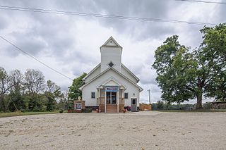
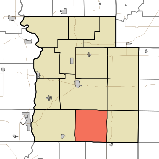
Prairie City is an unincorporated community in Jackson Township, Clay County, Indiana. It is part of the Terre Haute Metropolitan Statistical Area. It is located on State Highway 42. It once included a one room school, a small grocery which was a part of a house on the corner, a garage which did repairs on cars and tractors, and a few houses. The cemetery was across from the school, and both were across Birch Creek. The school was constructed of red brick, common in Clay County. In the 1940s/50s and probably before then the church was an EUB... Evangelical United Brethern.
Roadman Corner is an unincorporated community in Jackson Township, Clay County, Indiana, United States. It is part of the Terre Haute Metropolitan Statistical Area.

Catlin is an unincorporated community in the northwest corner of Raccoon Township, Parke County, in the U.S. state of Indiana.
Grange Corner is an unincorporated community in Sugar Creek Township, Parke County, in the U.S. state of Indiana.
Ogden is an unincorporated community in Adams Township, Clinton County, Ohio, United States.
Hubbell is an unincorporated community in the southwestern corner of Jefferson Township, Owen County, in the U.S. state of Indiana. It lies near the intersection of County Road 750 South and Indiana Highway 157, which is a community nearly twenty miles southwest of the city of Spencer, the county seat. Its elevation is 528 feet, and it is located at 39°10′59″N87°0′44″W. This community is also known as Hubbells Station.
Smithville is an unincorporated community in the northwest corner of Marion Township, Owen County, in the U.S. state of Indiana. It lies near the intersection of County Road 200 North and County Road 1400 West, which is a community about fifteen miles west of the city of Spencer, the county seat. Its elevation is 591 feet, and it is located at 39°19′15″N87°1′33″W.
Hickory Corner is an unincorporated community in the northwest corner of Marion Township, Owen County, in the U.S. state of Indiana. It lies near the intersection of County Road 1500 West and Orman Road, which is a community about twenty miles west of the city of Spencer, the county seat. Its elevation is 643 feet, and it is located at 39°18′18″N87°2′40″W.

